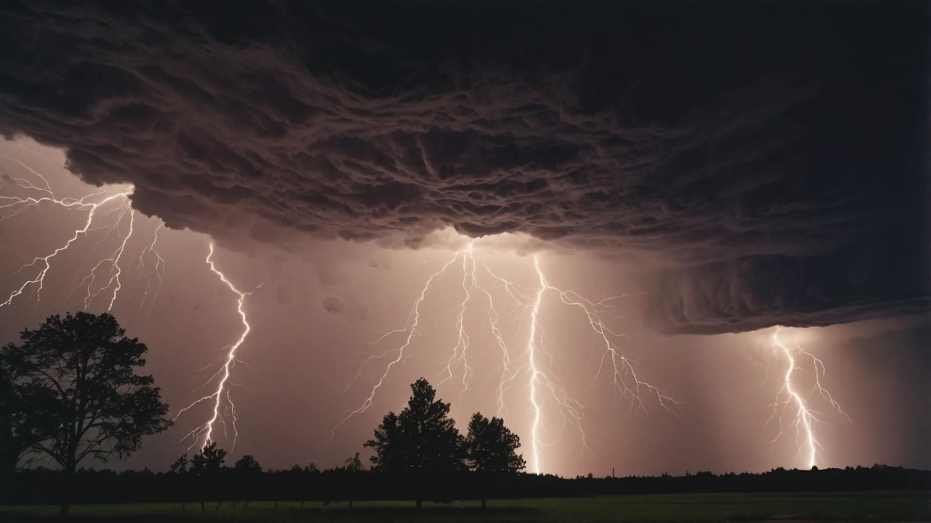
Rotating Supercells – Tornado threat across Indiana, Ohio, Illinois
Damaging Winds 60-75+ mph – Expect widespread power outages
Heavy Downpours – Flash flooding potential in some areas
🚨 Current Threat Overview: What’s Happening Right Now
Risk Level:LEVEL 3 of 5 – ENHANCED RISK
Affected Region: Mid-Mississippi Valley, Ohio Valley, Great Lakes Region
Primary Areas: Illinois, Indiana, Ohio, Michigan, extending into Pennsylvania & West Virginia
Population at Risk: Nearly 50 MILLION people
When: Today afternoon through tonight (March 26-27, 2026)
Most Volatile Hours: 3:00 PM – 11:00 PM local time (peak danger 4:00-8:00 PM)
A powerful cold front is pushing southeastward across the Midwest and Ohio Valley today, colliding with warm, moisture-rich air from the Gulf of Mexico. This collision is creating the perfect recipe for dangerous rotating supercell thunderstorms capable of producing all modes of severe weather.
📍 Which Cities & States Are in DANGER?
CRITICAL THREAT: 🔴 South Bend, IN 🔴 Fort Wayne, IN 🔴 Indianapolis metro
HIGH THREAT: 🟠 Chicago metro area 🟠 Champaign, IL 🟠 Kankakee, IL
3:00 PM – 4:00 PM CST: INITIAL IGNITION – First supercells develop along the cold front in central-northern Illinois
4:00 PM – 5:00 PM CST: PEAK SUPERCELL THREAT – Most organized & dangerous phase. Expect baseball to softball-size hail, strong rotation, tornado development likely
5:00 PM – 8:00 PM CST: 🔴 PEAK DANGER WINDOW – Storms move into Indiana & Ohio. Most reports of hail, wind, and tornadoes occur here
8:00 PM – 11:00 PM CST: LINE ORGANIZATION – Storms consolidate into squall line. Threat shifts to extreme damaging straight-line winds (60-75+ mph)
11:00 PM CST – 2:00 AM EDT: SECONDARY THREAT – Organized line moves into Ohio Valley, Pennsylvania, West Virginia
💥 The 4 Main Hazards
1️⃣ VERY LARGE HAIL (2+ inches)
Size: Baseball to softball diameter (2-3+ inches). Location: Central Indiana (South Bend-Fort Wayne). Impact: Destroys vehicles, roofs, causes serious injuries.
2️⃣ TORNADOES & ROTATING SUPERCELLS
Several tornadoes probable, some potentially strong (EF-2 to EF-3). Highest risk in northern Indiana and western Ohio. Strong wind shear = potential for longer-lived, stronger tornadoes. Multiple supercells = multiple tornado opportunities.
3️⃣ DAMAGING STRAIGHT-LINE WINDS (60-75+ mph)
Peak timing: 8:00 PM – 1:00 AM. Impacts: Widespread tree damage, power outages (potentially lasting days), structural damage, flying debris.
4️⃣ HEAVY RAIN & FLASH FLOODING
Localized heavy rain could dump 1-2+ inches in 30-60 minutes. Risk in flood-prone zones, creek bottoms.
📺 What Are Top Weather Media Saying?
✅ ALL SOURCES AGREE ON:
Level 3 Enhanced Risk is the official threat level
Rotating supercells will develop with tornado potential
Multiple tornadoes likely with some potentially strong (EF-2 to EF-3)
Very large hail (2+ inches) will be a primary hazard
Damaging winds 60-75+ mph expected
Illinois, Indiana, Ohio will bear the brunt
Afternoon to evening timing (3 PM-11 PM local)
🔍 WHERE FORECASTS DIFFER:
Washington Post: Emphasizes “baseball-size hail” as headline hazard. Focuses specifically on Indiana (South Bend-Fort Wayne) as hail bulls-eye.
FOX Weather: Puts equal emphasis on all three hazards (hail, tornadoes, damaging winds). Notes this is a reminder of March 10 tornado outbreak. Tracks transition to derecho-like wind threat. Mentions 50M people affected.
The Watchers/NWS SPC: Most technical. Emphasizes atmospheric setup: CAPE 1000-1500 J/kg, 50-60+ kt mid-level flow. Notes “locally greater tornado risk” in northern/central Indiana due to 35-50 kt low-level jet. Explicitly mentions EF-2+ tornado potential.
Aspect
Washington Post
FOX/Weather Wire
The Watchers/SPC
Lead Hazard
Hail (most specific)
All three equally
Supercell structure
Tornado Forecast
“Possible rotators”
“Several likely”
“Several to many, some strong”
Confidence
Moderate-High
High
Very High (technical)
All sources agree this is a DANGEROUS and CREDIBLE severe weather threat.
🛡️ SAFETY ACTION PLAN
⏰ DO THIS RIGHT NOW (Before 2:00 PM):
Move vehicles indoors — garage, carport, or covered building
Secure outdoor furniture, grills, trash cans
Trim loose tree branches
Charge all devices — phones, tablets, laptops
Fill bathtubs with water — for drinking if water pressure loss occurs
Identify your safe room — basement interior room, hallway, or closet away from windows
Have flashlights, batteries, first aid kit accessible
Download offline maps
Text family members your safe location
⚠️ DURING THE STORM:
HAIL WARNING? Get indoors immediately. Stay away from windows.
TORNADO WARNING? Go to safe room NOW. Get as low and central as possible. Cover your head.
SEVERE THUNDERSTORM WARNING? Stay indoors away from windows. Be ready to move to safe room.
POWER OUT? Do NOT go outside. Use flashlights, not candles.
Driving when storm hits? Never try to outrun. Find sturdy building. If no building, lie flat in ditch away from vehicle.
✅ AFTER THE STORM:
Check on neighbors and vulnerable people
Document damage with photos for insurance
Avoid driving through standing water
Watch for downed power lines (treat as deadly)
Listen to local authorities
❓ Emergency FAQ
Q: Is this going to be as bad as the March 10 tornado outbreak?A: Different threat profile. March 10 had extreme instability and produced 40+ tornadoes. This has slightly lower instability but strong wind shear, so tornadoes are very likely. Hail threat appears comparable or worse. Take it just as seriously.
Q: Tornado WATCH vs. Tornado WARNING?A: WATCH = Conditions favorable. Tornadoes possible. Be prepared. WARNING = Tornado sighted/indicated by radar. Take shelter NOW.
Q: Should I evacuate?A: NO. For severe weather, “shelter in place” is correct. Being on the road during severe storms is extremely dangerous. Your home is safest (with safe room prepared).
Q: Am I safe if my area is Enhanced Risk but not Moderate Risk?A: No area is 100% safe during Level 3 Enhanced Risk. You could experience severe weather on the southern edge of threat zone. Prepare anyway.
Q: How long will this last?A: Supercell phase (hail/tornadoes): ~4-5 hours (peak 4-8 PM). Organized line phase (damaging winds): ~6-8 hours (8 PM-2+ AM). Total: ~9-10 hours active threat.
Q: What should I use for alerts?A: (1) NOAA Weather Radio with battery, (2) Smartphone weather apps (Severe Labs, Weather.gov app), (3) Local TV weather. Don’t rely on just one.
Q: Power outages?A: Very likely, potentially widespread and lasting hours to days. Charge devices NOW. Have flashlights, batteries, manual can opener, coolers with ice ready.
Q: Can apartments/mobile homes protect me?A: Apartments: Yes, interior room away from windows is safer. Mobile homes: NO. Must go to designated shelter. Ask local emergency management for locations NOW.
✅ SHARE THIS ARTICLE with family, friends, and neighbors in Illinois, Indiana, and Ohio RIGHT NOW
🚨 Emergency Resources
National Weather Service: weather.gov
Storm Prediction Center: spc.noaa.gov
Emergency Services: 911
NOAA Weather Radio: 162.55 MHz
American Red Cross: redcross.org
Severe Labs Weather App: Free, excellent alerts
March 2026 has proven exceptionally active. This is real. This is dangerous. Take action now while you have time. In severe weather, minutes matter.
The Founder and Chief Meteorologist at Pogodnik.com. With over 15 years of operational experience in synoptic analysis and climate forecasting, he specializes in storm tracking, magnetic storms, and atmospheric dynamics. A recognized expert in Ukraine’s meteorological sector, he maintains strategic collaborations with global agencies, including NOAA and ECMWF, to ensure high-precision data integration. His analytical reviews and scientific contributions are regularly featured in leading media outlets dedicated to weather science and environmental trends.