Tornado Outbreak Escalates Across the U.S.: Rare California Twisters, Midwest Destruction and NOAA Warning of More to Come
Summary: A dangerous and expanding tornado pattern is unfolding across the United States. Rare tornadoes in California, a major Midwest outbreak, and new warnings across the Plains signal a highly active severe weather regime. NOAA-linked forecasts indicate the pattern will continue, with tornadoes, giant hail, and flooding rain remaining key threats.
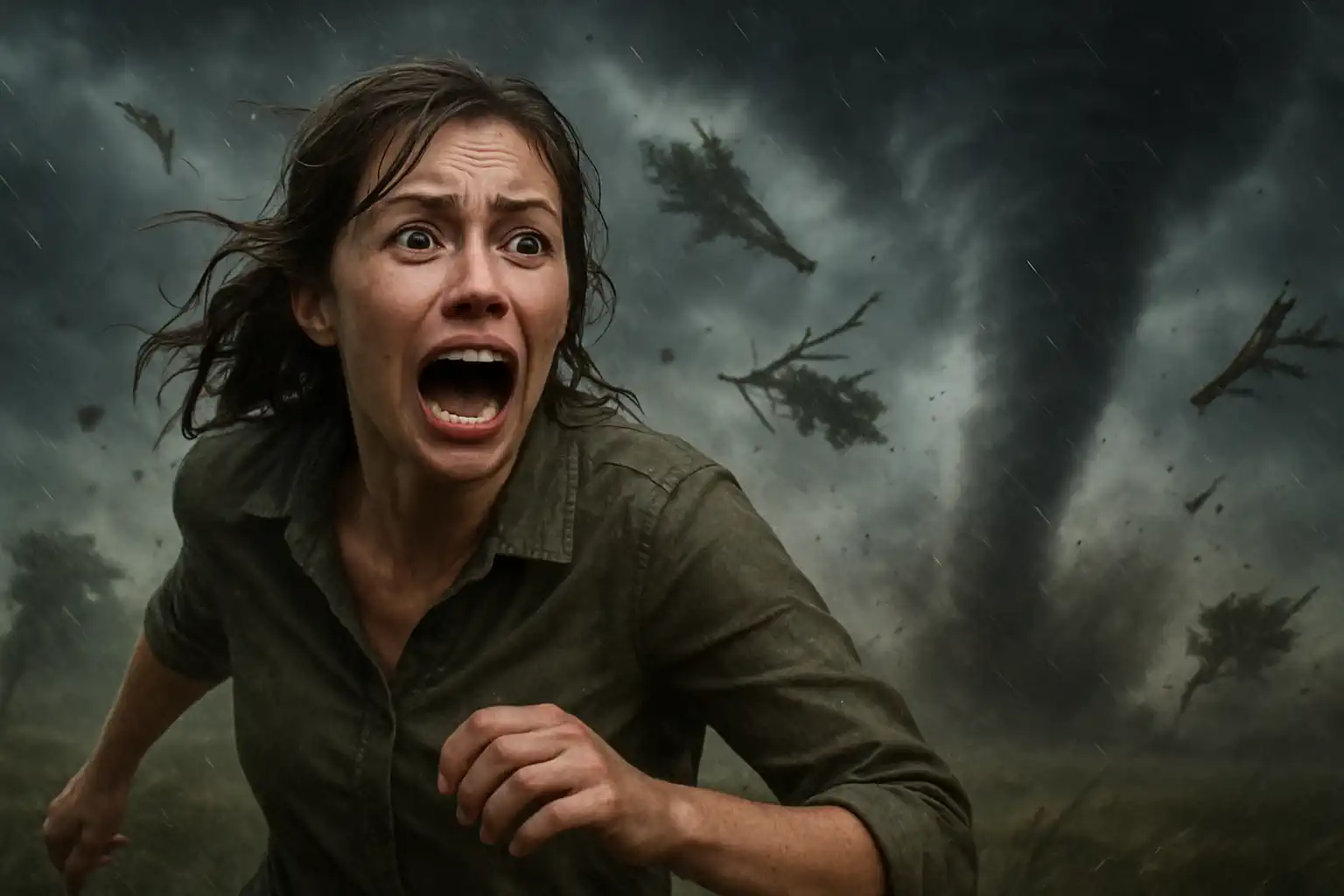
This is no longer a localized severe weather event. It is a national-scale pattern shift. From rare tornadoes in California to a destructive outbreak across the Midwest and renewed warnings in Oklahoma and Kansas, the United States is entering a more volatile phase of the 2026 tornado season.
According to leading forecasters and NOAA-backed outlooks, this is not the peak — it may only be the beginning.
The EF3 Andover, Kansas tornado 🤯🌪️ April 29, 2022 — a powerful storm that tore through the area with destructive force, leaving a lasting mark in its path. pic.twitter.com/4sSgVPy7Ci
One of the most unusual developments in recent days has been the emergence of tornadoes in Central California — an event so rare that it has only happened a handful of times in modern records. According to The Watchers, three tornadoes touched down in the region, marking the third such day since 1955.
This is not typical Tornado Alley behavior. It is a clear signal that atmospheric dynamics are unusually widespread and energetic.
California tornadoes tend to be weak and short-lived, but their significance lies in what they represent: instability and wind shear strong enough to organize rotating storms far outside the usual core tornado regions. When tornado-capable dynamics appear on the West Coast, it often means the jet stream is highly amplified and active across the entire continent.
Midwest Outbreak: Dozens of Tornadoes and Widespread Damage
The core of the current crisis remains in the Midwest, where a major outbreak recently produced widespread damage across Illinois, Wisconsin, and Minnesota. Homes were torn apart, infrastructure was damaged, and entire communities were left cleaning up debris fields.
What stands out is the sheer scale. The National Weather Service (NWS) later confirmed at least 38 tornadoes in Illinois alone from that outbreak. This included multiple EF2 events with winds nearing 130 mph.
This was not a single supercell. It was a multi-state outbreak driven by a powerful low-pressure system pulling warm, moist Gulf air northward into colder air masses. Official NWS summaries confirm widespread damage to homes, farm structures, and vehicles, alongside giant hail reports and destructive straight-line winds.
New Escalation: Oklahoma and Plains Back Under Threat
The pattern did not stop after the Midwest outbreak. It reloaded. New tornado reports and damage emerged in Oklahoma, including near Enid and Vance Air Force Base, where storms damaged local infrastructure.
At the same time, tornado watches were issued across Nebraska, Iowa, Missouri, Kansas, and Oklahoma — signaling another high-end severe weather setup.
Forecasters warned that the environment once again supports rotating supercells capable of producing tornadoes, very large hail, and destructive winds. The atmosphere is not stabilizing; it is cycling through repeated severe weather episodes.
NOAA Outlook: Why the Pattern is Staying Active
According to U.S. forecast guidance and NOAA-linked severe weather outlooks, the current setup is driven by a persistent and energetic jet stream pattern combined with strong moisture return from the Gulf of Mexico.
This combination creates what meteorologists call a “loaded atmosphere” — one where multiple rounds of storms can develop over several days. Key ingredients currently in place include:
High moisture content (dew points pushing into the 60s°F across the Midwest).
Strong wind shear in the lower levels, perfectly supporting rotating supercell storms.
A slow-moving storm track that allows systems to repeat over the same areas.
This is why forecasters are increasingly using language suggesting a prolonged severe weather period rather than a single, isolated outbreak. Tornado risk will continue shifting east and northeast, while new development zones persist in the Plains.
Why This Tornado Season Stands Out
There are three primary reasons this specific period is getting intense attention from meteorologists and storm chasers alike:
1. Unprecedented Geographic Spread
Tornadoes are occurring from the coast of California all the way to the Great Lakes and Midwest — an unusually broad and diverse footprint for late April.
2. Repeated Outbreaks
Instead of one major event followed by a quiet period, multiple waves of severe weather are forming every few days, giving communities very little time to recover.
3. Multi-Hazard Environment
These storms are not just producing tornadoes. They are unleashing giant hail, damaging straight-line winds, and severe flash flooding — all from the exact same systems.
Flooding Now Becoming the Second Major Threat
As often happens in these blocked setups, flooding is rapidly emerging as a parallel hazard. Several days of intense storms have completely saturated soils across parts of the Midwest and Great Lakes.
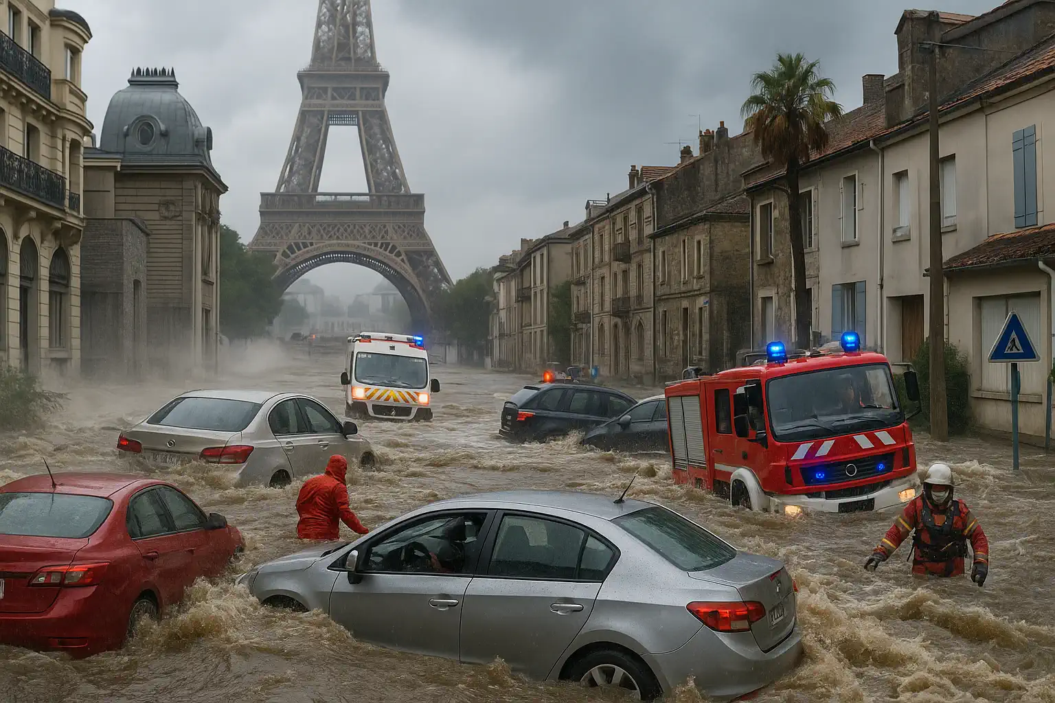
In Wisconsin and nearby regions, heavy rainfall has already caused flash flooding, trapping drivers and forcing emergency water rescues. Once flooding joins the same weather system that produces tornadoes, the risk to human life multiplies dramatically.
Emergency response teams become bogged down by flooded roads.
Standard evacuation routes may be completely blocked or washed out.
Damage recovery and debris cleanup slow significantly.
Ongoing storm cycles moving over heavily saturated ground.
Great Lakes
Heavy Rain, Storms
Flash flood risk increasing rapidly with repeated rainfall.
The United States is entering a highly dangerous phase of the 2026 severe weather season. What started as a classic spring setup has evolved into a broad, persistent, and multi-hazard weather pattern.
Rare tornadoes in California, destructive outbreaks in the Midwest, and renewed threats in the Plains all point to the same conclusion: the atmosphere is highly energized — and it is not done yet. Stay alert to local NOAA weather radios and mobile alerts.
The Founder and Chief Meteorologist at Pogodnik.com. With over 15 years of operational experience in synoptic analysis and climate forecasting, he specializes in storm tracking, magnetic storms, and atmospheric dynamics. A recognized expert in Ukraine’s meteorological sector, he maintains strategic collaborations with global agencies, including NOAA and ECMWF, to ensure high-precision data integration. His analytical reviews and scientific contributions are regularly featured in leading media outlets dedicated to weather science and environmental trends.