Severe Weather Alert May 15, 2026: Red Flag Warnings Across the Plains + Iowa Supercell Outbreak — Full NOAA & ECMWF Forecast
⚠️ Updated May 15, 2026 — Active events: NWS Red Flag Warning + SPC Enhanced Risk Iowa
🇺🇸 NWS / NOAA
⛈ SPC Day 1 Outlook
🌐 ECMWF Operational
🌟 WPC Medium Range
🔥 U.S. Wildland Fire Service
⚡ What is happening right now — May 15, 2026
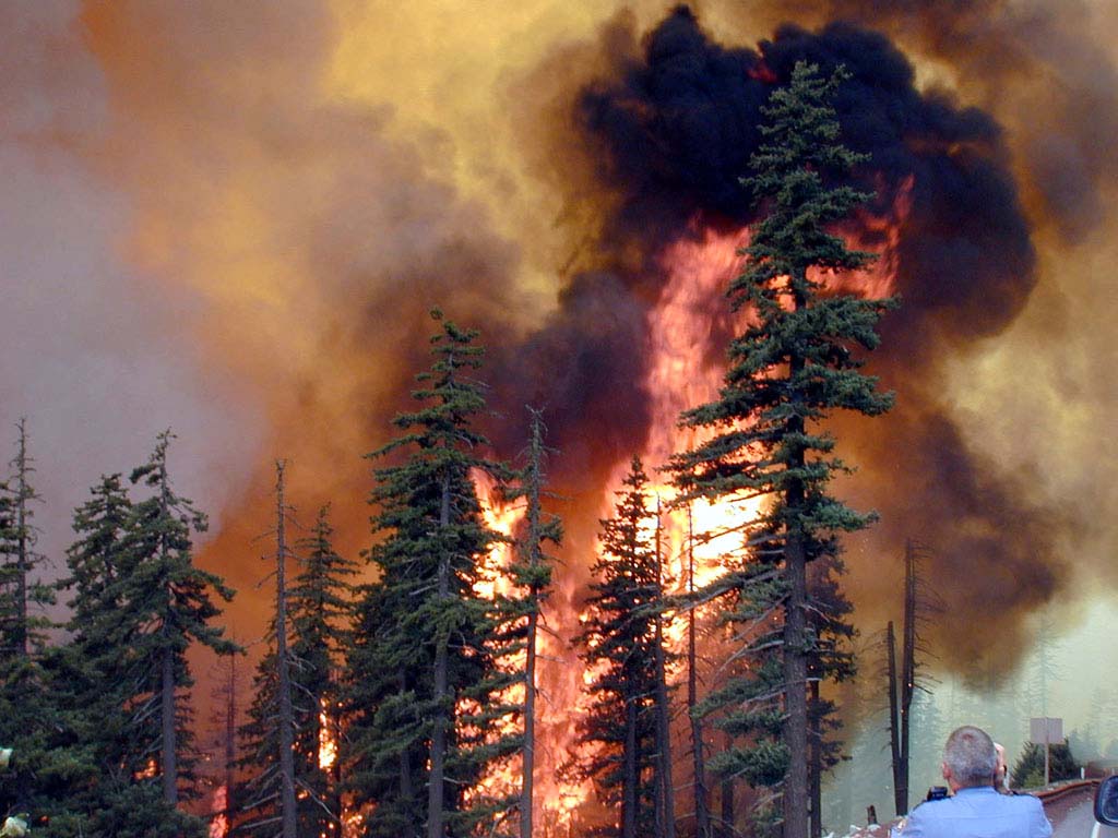
🔥 Red Flag Warnings active across the southern High Plains, Texas Panhandle, Oklahoma, South Plains, Rolling Plains, New Mexico, and 54 counties in Minnesota. Relative humidity as low as 7%. Any fire that starts will spread rapidly.
⛉ SPC Enhanced Risk (Level 3/5) for Iowa tonight. Supercells developing along the cold front will produce hail up to 5 cm (2 inches), wind gusts above 120 km/h (75 mph) and a tornado threat with the low-level jet strengthening after sunset.
🌪 Dry thunderstorms over southeastern Colorado and the southern High Plains are the key wildfire trigger — lightning strikes that reach the ground without delivering rain, directly into fuels with energy release component in the 70th–89th percentile.
📌 The pattern is not resetting. WPC calls for “multiple rounds of heavy rain and severe storms” through next week. A major outbreak is possible Monday across central Kansas into northern Oklahoma.
Two simultaneous and dangerous weather stories are unfolding across the central United States on May 15, 2026. In the south and west, a deeply dry and wind-whipped air mass is creating one of the most serious fire weather days of the spring, with the Storm Prediction Center placing over 261,780 km² (101,075 sq mi) under Critical fire weather risk. In the north and east, a different kind of violence is building — supercell thunderstorms are developing across Iowa and the upper Plains with the potential for giant hail, destructive straight-line winds and tornadoes. Both events share the same atmospheric driver: a large-scale pattern change that has loaded the central U.S. with contrasting airmasses and a dryline that is acting as the ignition boundary for both fire and severe weather.
🔥 PART ONE: Red Flag Warnings and Dry Thunderstorm Threat — Plains and High Plains
📌 OFFICIAL: NWS Red Flag Warning — Active May 15, 2026
The National Weather Service Storm Prediction Center describes this as a “widespread and multi-faceted threat” across portions of the Plains. Three Critical fire weather areas are in effect simultaneously for Day 1.
⚠️ What is driving the fire weather crisis
The southern High Plains are running on a deeply mixed, dry boundary layer that extends to approximately 500 hPa — a full column of dry, unstable air that reaches halfway through the troposphere. Surface temperatures climbed into the mid-to-upper 90s°F on the Caprock and above 100°F in the Rolling Plains. Combined with southwest winds of 25–50 km/h (15–30 mph), relative humidity in single digits to low teens, and fuels with an Energy Release Component (ERC) in the 70th–89th percentile, the result is a fire environment where any ignition — whether from a dragging trailer chain, a discarded cigarette or a lightning strike — has the potential to explode into a fast-moving, wide-ranging wildfire within minutes.
The dry thunderstorm dimension adds an additional layer of danger. High-based storms developing over southeastern Colorado and spreading into the Texas Panhandle and southern High Plains are producing lightning that reaches the ground without delivering meaningful rainfall — the precipitation evaporates in the dry sub-cloud layer before it arrives. The dry thunderstorm area covers about 98,670 km² (38,100 sq mi), including Lubbock, Amarillo, Plainview, Liberal, and Pampa. Outflow wind gusts from these storms can reach 115 km/h (70 mph), effectively acting as an accelerant for any fire starts.
📍 Red Flag Warning areas — state by state
🏴 Texas South Plains & Panhandle
Red Flag WarningRH as low as 7% SW winds 25–40 km/h, gusts from storms exceeding 115 km/h. Affected counties include Parmer, Castro, Swisher, Lubbock, Hale, Floyd, Hockley, Terry, Lynn, Bailey, Lamb and surrounding areas. Any fire that starts can spread rapidly and is extremely difficult to control.
🏴 Oklahoma & Texas Panhandles
Red Flag WarningRH as low as 13% NW winds 10–15 mph, gusting to 25 mph. Strong erratic wind gusts from thunderstorms may exceed 40 mph. Temperatures in the upper 90s°F. Any fires that develop will have the potential to spread rapidly.
🏴 New Mexico East Central Plains
Red Flag Warning Lightning from dry storms in far eastern New Mexico could start new fires, which may spread rapidly from gusty and erratic winds. A Fire Weather Watch also in effect Saturday with strong south to southwest winds, single-digit humidity and hot temperatures.
🏴 North Dakota — Western & Central
Red Flag WarningRH as low as 17% West winds 25–35 mph with gusts up to 50 mph. Any fires that ignite will spread rapidly and become difficult to control or suppress.
🏴 Minnesota — 54 Counties
Red Flag Warning 12:00–21:00 CDT Warning extends into Wisconsin, North Dakota, South Dakota, and Montana. Northern Minnesota: wind gusts reaching 35+ mph. Temperatures into the 80s–low 90s across southern Minnesota. Campfires discouraged; open burn permits suspended.
🏴 Southern High Plains (Broader area)
Critical Fire Weather Sustained westerly winds of at least 25 km/h and 10–15% RH from southern New Mexico to the Texas Panhandle and Oklahoma border. Critical fire weather extended from southeastern New Mexico into the Texas Rolling Plains, where sustained southwesterly winds of at least 40 km/h coincide with RH below 15% for several hours.
📌 SPC Day 1 Convective Outlook — Enhanced Risk (Level 3 of 5): Iowa and surrounding areas
Valid: Late afternoon and overnight May 15–16, 2026. Main threats: Damaging wind gusts 120+ km/hGiant hail 5 cm+Tornadoes possible
🌧️ How the Iowa outbreak is set up
Storm development is forecast along the cold front and surface trough from eastern Nebraska into Iowa around 17:00–19:00 CDT. Initial supercells are forecast to carry a threat for large to isolated very large hail of 5 cm (2 inches) or larger. A quick upscale growth is expected across Iowa during the evening, increasing the potential for scattered severe and damaging winds, localized gusts above 120 km/h (75 mph), and a tornado or two as low-level shear increases with a strengthening low-level jet.
The Weather Prediction Center is separately flagging a 50 percent chance of rainfall exceeding 2 inches across much of Iowa. The worst window for I-80 east-west traffic runs late evening into the predawn hours, roughly 9 PM to 3 AM CDT, with the linear complex aligning along a nearly stationary front and the rear-inflow jet driving the highest damaging-wind potential.
🚗 Highway alert: I-80 traverses the entire state of Iowa west to east. Council Bluffs, Des Moines, Iowa City, and Davenport will all see the line cross overnight, with I-35 through the Des Moines metro and I-380 between Cedar Rapids and Iowa City also in the path. Drivers should check forecasts before departure and avoid travel during the worst window.
📈 Iowa storm hazards — what to expect hour by hour
Time window (CDT)
Storm mode
Main hazard
Risk level
17:00–19:00
Discrete supercells developing along front
Giant hail 5 cm+ (2 inches+), possible tornado
Enhanced
19:00–22:00
Upscale growth — storm clusters forming
Scattered damaging winds 80–120 km/h, large hail
Enhanced
22:00–03:00
QLCS (quasi-linear convective system)
Peak damaging wind gusts 120+ km/h (75+ mph), embedded tornadoes
Peak threat
03:00–08:00
Squall line moving east
Continued damaging wind, flash flooding as rainfall totals exceed 2 inches
Diminishing
🌐 NOAA & ECMWF Forecast: What Comes Next — May 16–21
🇺🇸 NOAA / WPC medium-range outlook: The same nearly stationary front anchoring tonight’s Iowa outbreak will remain draped across the midsection of the country through the coming week. WPC specifically calls for “multiple rounds of heavy rain and severe storms” through next week. The active tornado season of 2026 is showing no signs of resetting.
🌐 ECMWF operational: The large-scale pattern features an amplified ridge over the western U.S. and a persistent trough axis over the Plains and Mississippi Valley — a configuration that drives warm, moist Gulf air repeatedly northward while maintaining the frontal contrast necessary for supercell development. The ECMWF ensemble is highly consistent through Day 6 on this amplified, active pattern.
⛈ SPC Day 4–8 Outlook: A severe weather outbreak will be possible from Monday afternoon into the evening and overnight period. The western trough will take on a negative tilt before ejecting across the central Plains, with strong southwesterly flow aloft overspreading the region. This will result in strong lee cyclone development across western Kansas. Numerous thunderstorms are expected to develop along and ahead of the cold front and further south along the dryline Monday afternoon and evening from Nebraska into central Kansas. Given the volatile air mass ahead of these features, with moderate to strong instability and strengthening deep-layer shear, initial development will likely be supercellular.
🔥 Fire weather outlook (NOAA/NIFC): Significant wildland fire potential for May is above normal across parts of the Southwest and northern Plains as well as the southeastern coastal region. The eastern half of Arizona, southern Utah, western New Mexico, and northwestern Minnesota face an above-average chance for significant wildland fire potential. The drought-stressed landscape of the southern Plains will remain a concern through at least mid-May.
📅 Day-by-day threat summary: May 15–19
Date
Main threat zone
Severe weather type
Fire weather
Fri May 15
Iowa (storms), Southern Plains (fire)
Supercells, hail, wind, tornado
Critical — Red Flag Warning
Sat May 16
Northern Plains, Upper Midwest
Supercells, hail, tornadoes evening
Fire Weather Watch — Plains
Sun May 17
Nebraska, SD, NW Iowa, SW Minnesota
Enhanced Risk — supercells, tornadoes
Elevated
Mon May 18
Central Kansas, Northern Oklahoma
Potential major outbreak — tornadoes
Moderate
Tue–Wed
Ohio Valley, eastern Plains
Continued severe storm risk
Decreasing
Why the 2026 Severe Weather Season Is So Active
The 2026 tornado and severe weather season has been one of the most active on record in the United States. After the second half of April was full of tornadoes and hail, a more active pattern has now developed that could continue through next week. Multiple factors are converging:
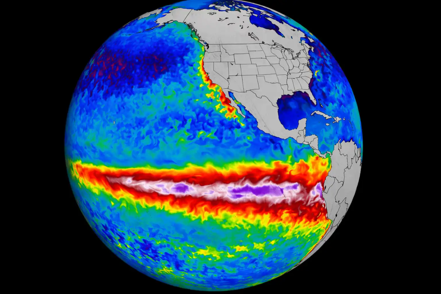
El Niño transition: The shift from La Niña to ENSO-neutral and the beginning of El Niño conditions has altered the positioning of the jet stream, creating repeated opportunities for the Gulf-Arctic airmass conflicts that fuel supercells and tornadoes across the Plains and Midwest.
Above-normal Gulf moisture: Sea surface temperatures in the Gulf of Mexico are running above the 1991–2020 climatological baseline, supplying higher dewpoints and more fuel for extreme convection.
Persistent trough pattern: The western ridge–eastern trough configuration that ECMWF identifies as dominant through mid-May is a classic severe weather amplifier, and it is not breaking down quickly.
Severe drought on the Plains: Years of below-normal precipitation in the southern Plains have created receptive fuels and critical ERC values that turn any dry and windy day into a potential fire catastrophe.
Safety: What to Do Right Now
🔥 Fire weather areas (Red Flag Warning in effect): Do not start any outdoor fire. Do not use power tools, welding equipment or spark-producing machinery outdoors. Avoid parking vehicles on dry grass. Report any smoke immediately. If evacuated, do not return until officials say it is safe.
⛉ Iowa and severe storm threat areas (tonight): Identify your nearest shelter location now — not when the warning is issued. Do not shelter under highway overpasses; they provide no protection from tornado winds. If driving on I-80, I-35 or I-380 overnight, monitor NWS alerts and pull off and seek shelter in a sturdy building if a warning is issued.
🌊 Flooding secondary risk: With WPC calling for 50% probability of 2+ inches of rain across Iowa, flash flooding is a real secondary hazard after the storms. Do not drive through flooded roadways. Turn around, don’t drown.
📱 Monitor: NOAA Weather Radio, the NWS app, and local emergency management social media for real-time updates. The situation is evolving and warning upgrades are possible.
📌 Bottom line for May 15, 2026:
Two dangerous weather stories are running in parallel across the central U.S. today. In the south and west, dry lightning and critical fire weather have created a landscape where a single spark can become a community-threatening wildfire within minutes. In Iowa and the upper Midwest, supercell thunderstorms are organizing into a line capable of winds above 120 km/h and significant tornadoes overnight. Neither event is isolated — both are part of the same amplified, active weather pattern that NOAA and ECMWF agree will continue through at least the third week of May. This is the most active part of the 2026 U.S. severe weather season to date. Stay weather-aware.
📚 Sources: NOAA Storm Prediction Center (SPC) — Day 1 Convective Outlook and Day 1 Fire Weather Outlook, May 15, 2026; NWS Lubbock TX — Red Flag Warning bulletins; NWS Amarillo TX — Red Flag Warning bulletins; NWS Albuquerque NM — Fire Weather Message; NWS Bismarck ND — Red Flag Warning (North Dakota); NOAA/NWS National Fire Weather (weather.gov/fire); National Interagency Fire Center (NIFC) — May 2026 fire outlook; The Watchers (watchers.news) — SPC forecasts supercells Iowa May 15 + Red Flag Warnings dry thunderstorms Plains; ECMWF operational forecast; WPC medium-range precipitation outlook; Fox Weather; Fox 9 Minneapolis; KCBD Lubbock.
The Founder and Chief Meteorologist at Pogodnik.com. With over 15 years of operational experience in synoptic analysis and climate forecasting, he specializes in storm tracking, magnetic storms, and atmospheric dynamics. A recognized expert in Ukraine’s meteorological sector, he maintains strategic collaborations with global agencies, including NOAA and ECMWF, to ensure high-precision data integration. His analytical reviews and scientific contributions are regularly featured in leading media outlets dedicated to weather science and environmental trends.