SEVERE WEATHER ALERT — UAE & GULF STATES — ACTIVE STORM EVENT — MARCH 27, 2025
UAE Weather Heavy Rain & Historic Storm
A near-historic severe weather event is unfolding across the Arabian Gulf. A quasi-linear convective system (QLCS) — driven by a deepening cyclone over Iraq — is delivering catastrophic heavy rain, supercell thunderstorms, hail, and squalls exceeding 100 km/h to the UAE, Dubai, Qatar, Saudi Arabia, Oman, Bahrain, and Kuwait.
Affected Countries & Cities
Dubai 🇦🇪
Abu Dhabi 🇦🇪
Sharjah 🇦🇪
Doha, Qatar 🇶🇦
Saudi Arabia 🇸🇦
Oman 🇴🇲
Bahrain 🇧🇭
Kuwait 🇰🇼
Meteorological Situation
What Is Driving UAE Heavy Rain Today?
A powerful deep cyclone has developed over Iraq, with its central pressure dropping below 990 millibars — an exceptionally low value for the Middle East. The intense pressure gradient generated by this system is fueling a fast-moving quasi-linear convective system (QLCS), a squall-line architecture capable of producing some of the most destructive weather known to meteorology.
The QLCS is sweeping eastward along the cold front of the active Iraq cyclone, crossing Saudi Arabia and the wider Gulf states before striking the UAE and Dubai. This type of system is rare in the Arabian Peninsula and represents a near-historic severe weather scenario for the Gulf region.
According to meteorologists monitoring the event, the combination of extreme wind shear — a dramatic change in wind speed and direction with altitude — and a very high CAPE index (Convective Available Potential Energy) is creating near-ideal conditions for rapid storm intensification, including the development of supercell thunderstorms capable of producing tornadoes.
Hazards & Conditions
UAE Rain Hazards: What to Expect
Extreme Rainfall & Flash Flooding
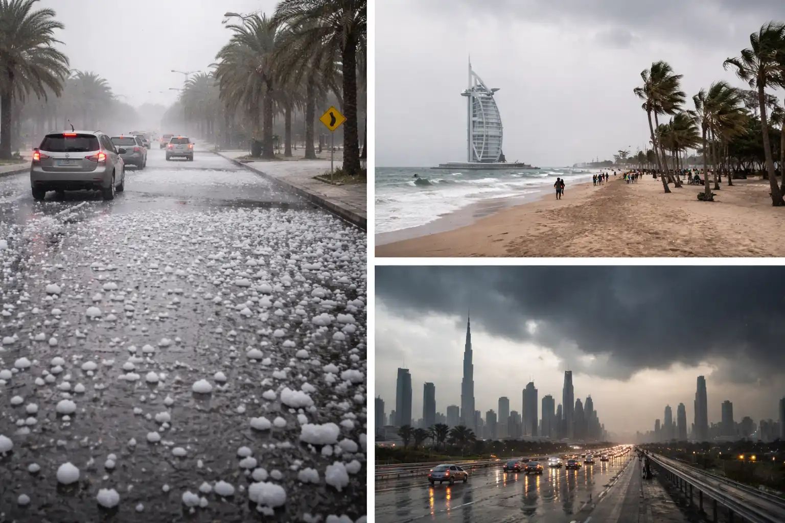
The QLCS is generating intense, sustained heavy rain across a broad corridor from western Saudi Arabia through to the UAE coast. Urban flash flooding is a primary concern for low-lying areas of Dubai, Abu Dhabi, and Sharjah, where drainage infrastructure is not designed for rainfall of this intensity. Residents are urged to avoid wadis, underpasses, and flood-prone roads.
Supercell Thunderstorms
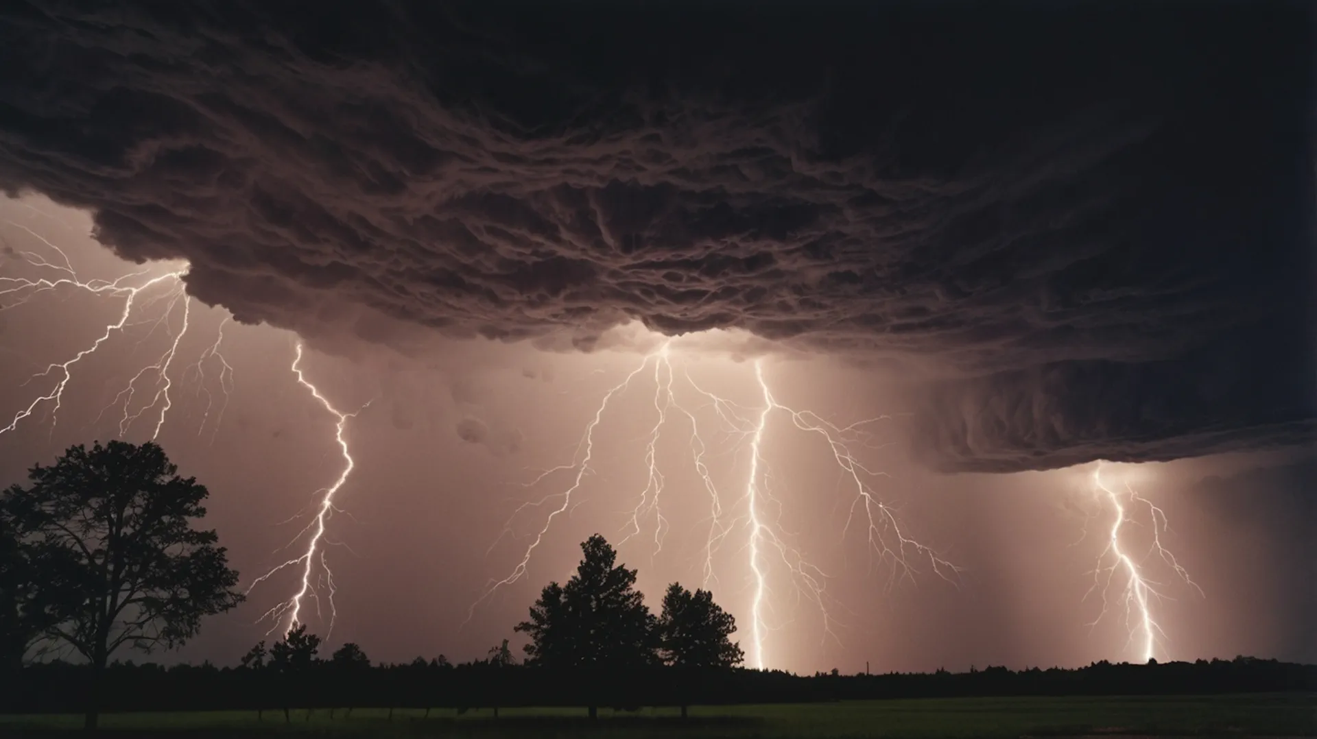
Embedded within the linear system are multiple supercell thunderstorms — rotating, long-lived storm structures that represent the most dangerous class of convective weather. These supercells are responsible for producing large hail, dangerous cloud-to-ground lightning, and the conditions necessary for tornado formation. The Gulf region has rarely, if ever, experienced a supercell outbreak of this potential magnitude.
Squalls Exceeding 100 km/h
A squall line ahead of the main system is generating wind gusts reported locally above 100 km/h. These speeds are sufficient to cause structural damage, overturn high-sided vehicles, and disrupt air traffic at airports including Dubai International (DXB) and Abu Dhabi (AUH). Flights may face significant delays or diversions.
⚠ Tornado Watch — Gulf States
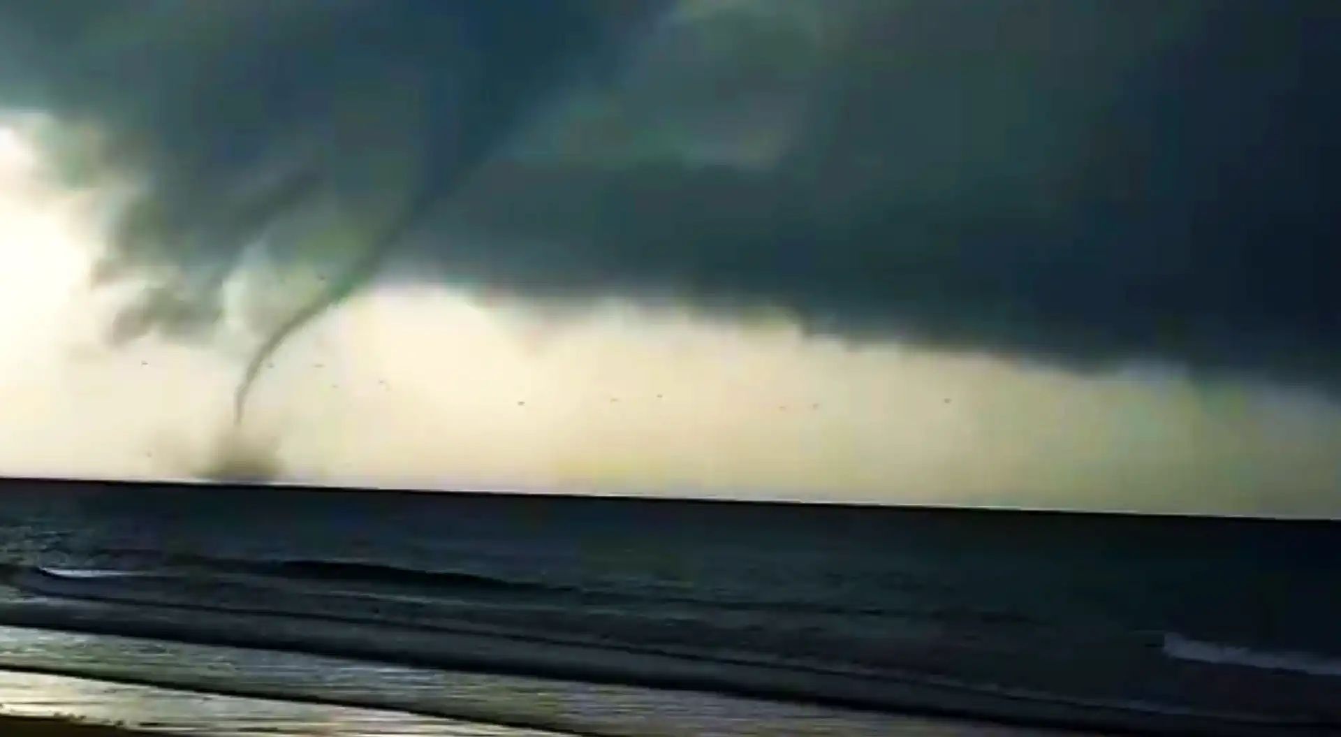
Conditions are favorable for the formation of brief, localized tornadoes along and ahead of the QLCS. If you observe a rotating column of cloud, funnel cloud, or sudden violent increase in wind, seek shelter immediately in an interior room on the lowest floor of a sturdy building.
Hail
The updraft velocities within the embedded supercells are sufficient to loft hailstones to considerable size. Hail damage to vehicles, outdoor infrastructure, and aircraft is expected wherever the most intense cells pass.
These thunderstorms are extremely intense. They fill the entire atmospheric column and penetrate into the stratosphere above the tropopause — which sits at no less than 17 km altitude in this region. Cloud-top temperatures are reaching −90°C, with heights exceeding 50,000 feet.
— Aviation meteorologist warning issued via social media, March 27, 2025
Scale & Context
How Rare Is This UAE Storm System?
To put the scale of this event in perspective: the storm towers being observed over the UAE are equivalent in height to 20 Burj Khalifa towers stacked on top of one another. Thunderstorm cells of this vertical extent routinely produce the most violent weather on Earth in regions such as the central United States — but in the Arabian Gulf, they are extraordinarily uncommon.
Aviation authorities have issued strong warnings for the region. Experienced pilots are being advised not to attempt to fly through or around the most intense cells due to extreme turbulence, icing, and the risk of structural airframe stress beyond certification limits.
For the Persian Gulf basin, this event may represent one of the most significant severe weather outbreaks since meteorological records began. The NCM UAE (National Centre of Meteorology) is actively monitoring the system and has issued weather advisories urging the public to remain indoors during the passage of the most intense convection.
Visual Reports
Shelf Cloud Over Sharjah — Eyewitness Reports
Residents of the Maleha area in Sharjah reported a dramatic shelf cloud visible earlier this evening — a low, horizontal arc of cloud that forms along the leading edge of a squall line’s cold outflow boundary. Shelf clouds are a reliable visual indicator that severe weather is imminent.
Simultaneously, footage shared on social media captured intense rainfall and violent squalls in Doha, Qatar, with visibility reduced to near-zero and standing water accumulating rapidly on major roads. In Abu Dhabi, residents reported vivid lightning displays, powerful wind gusts, and heavy rain within minutes of the shelf cloud’s passage.
First images of lightning over the UAE have now been shared by eyewitnesses, confirming the QLCS has made landfall across the western Emirates.
🎙 Eyewitness Report — Aviation Meteorologist
“These storms are very, very intense. For comparison, these storm clouds are the height of 20 Burj Khalifas. They are simply enormous. You will understand when they pass through. Even the most experienced pilots in the world will not be able to fly through these monsters.”
Safety Guidance
UAE Rain Safety — What Residents Should Do Now
UAE authorities, including the National Centre of Meteorology (NCM UAE), have urged residents and visitors to take the following precautions during this active severe weather event:
Stay indoors during the peak of the storm passage. Avoid unnecessary travel, especially through underpasses, low-lying areas, or any route near wadis and open desert terrain. If driving, reduce speed significantly and increase following distance — visibility can drop to near zero in heavy rain and haboob conditions ahead of the squall line.
Monitor official updates from the NCM UAE (weather radar UAE, official alerts), as well as Dubai Media Office and Abu Dhabi Emergency channels. Do not rely solely on radar apps for warnings, as the speed of QLCS propagation can outpace automated alerts. If you see a rapidly darkening sky, shelf cloud, or hear a sudden roaring wind, seek shelter immediately without waiting for an official alert.
The Founder and Chief Meteorologist at Pogodnik.com. With over 15 years of operational experience in synoptic analysis and climate forecasting, he specializes in storm tracking, magnetic storms, and atmospheric dynamics. A recognized expert in Ukraine’s meteorological sector, he maintains strategic collaborations with global agencies, including NOAA and ECMWF, to ensure high-precision data integration. His analytical reviews and scientific contributions are regularly featured in leading media outlets dedicated to weather science and environmental trends.