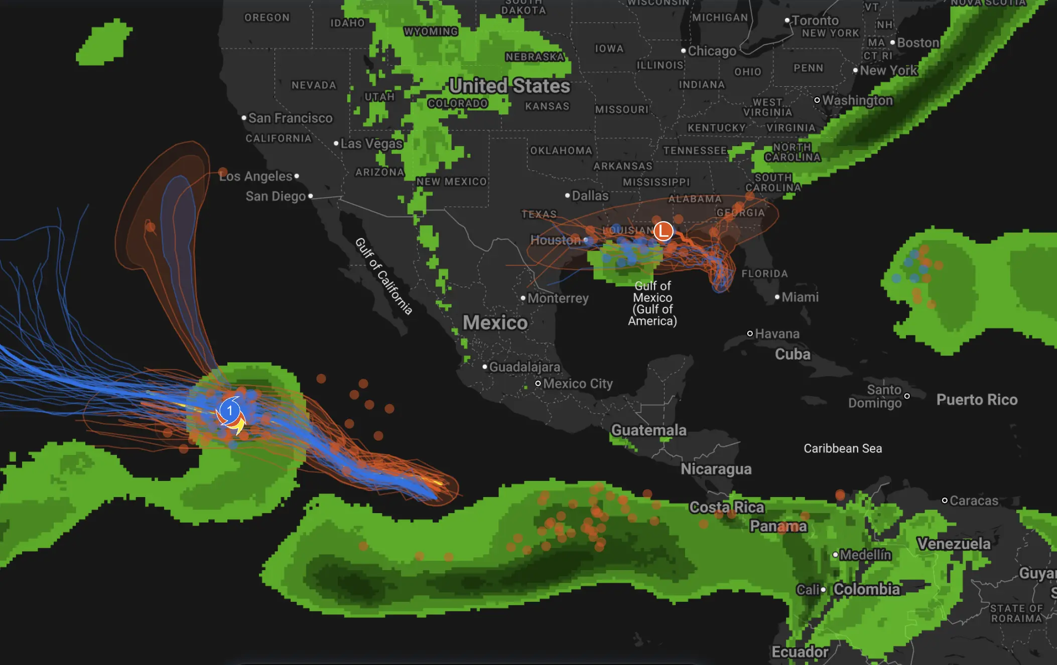
Super Typhoon Sinlaku and the New U.S. Tornado Surge: Category 5 Winds, Large Hail, and Why Violent Weather Is Accelerating
The world’s most violent weather is now running on two different tracks at the same time. Over the western Pacific, Super Typhoon Sinlaku has exploded into a Category 5-class storm and slammed the Northern Mariana Islands with destructive winds, extreme rainfall and long-duration infrastructure failure. Over the United States, spring severe weather is broadening fast, shifting from the southern Plains into the Midwest and Upper Midwest with tornadoes, baseball-size hail, flooding rain and increasingly high-impact damage surveys. These are not isolated episodes. They are part of a wider pattern of atmospheric extremes that is now defining the middle of April.
To understand why Sinlaku matters, and why the latest U.S. tornadoes deserve more attention than a routine outbreak headline, it helps to step back. The western Pacific and the central United States are very different weather theaters, but both reward the same atmospheric ingredients: exceptional energy, strong organization and just enough persistence for weather to turn destructive. In one case that energy is stored in very warm ocean water. In the other, it is built through springtime contrast — warm, moisture-rich air colliding with colder air and fast winds aloft. The result, in both cases, is a short list of the atmosphere’s most dangerous products: a super typhoon and a growing tornado season.
Saipan was hit by strong winds and heavy rain this afternoon, and Super Typhoon Sinlaku will sweep across the entire island after nightfall, with the wind and rain expected to intensify further. pic.twitter.com/5LafcydlEF
Part I. Super Typhoon Sinlaku: why this storm matters beyond one landfall
Super Typhoon Sinlaku is not just another intense western Pacific cyclone. Severe Weather Europe’s analysis described it as the strongest storm on the planet so far in 2026, with automatic satellite estimates near 164–165 knots, an extremely low central pressure near 888–896 mbar, and a wind field large enough to place Saipan and Tinian under a direct threat from the eyewall. Their write-up also highlighted the oceanic backdrop: western Pacific sea-surface temperatures running roughly 2–3°C above average in mid-April, more than enough to support rapid intensification and maintain a very high-end storm structure. That combination is what turned Sinlaku from a dangerous typhoon into a genuine Category 5 benchmark event.
Severe Weather Europe’s projection was stark. The most likely scenario was a direct or near-direct strike on Tinian and Saipan by a high-end Category 4 to Category 5-equivalent storm, with destructive winds, giant waves, dangerous coastal inundation and rainfall totals of 15–20 inches near the core. Their model discussion also noted how broad the storm had become: the most intense winds extended 60–70 miles from the center, while tropical-storm-force winds stretched much farther out. In practical terms, that meant this was not the sort of typhoon where only the exact point of landfall mattered. The damage footprint was expected to be large even if the center wobbled slightly north or south.
That forecast was borne out by what followed. AP later reported that Sinlaku hit Saipan and Tinian with sustained winds near 150 mph, crippling power, water and transport networks. Roads became impassable, the hospital on Saipan took flood damage, and officials warned that some communities could be without essential utilities for weeks. There were still no immediate confirmed deaths in those first reports, but the scale of infrastructure damage made clear that this was not simply a strong typhoon by seasonal standards. It was a system capable of producing prolonged humanitarian stress after the eyewall passed.
One reason Sinlaku has drawn so much professional attention is timing. The western Pacific does not need the climatological peak of typhoon season to produce major storms, but mid-April is still early for a storm of this caliber to reach such intensity and then deliver a serious hit to populated islands. That alone places Sinlaku in a different category from ordinary early-season tropical activity. It also raises the same question forecasters always ask after a storm this intense: is this just an exceptional event, or a signal of a basin that is primed to overperform later in the year?
Five benchmark super typhoons of recent years — and where Sinlaku fits
Any “top five” list of recent super typhoons depends on what is being measured: peak wind, societal impact, flood footprint, or how strongly the storm altered local preparedness and building culture. The list below is not a pure wind ranking. It is a benchmark list — five recent super typhoons that shaped discussion in the western Pacific, and against which Sinlaku now has to be judged.
1. Typhoon Hagibis (2019)
Hagibis remains one of the defining Pacific cyclones of the modern era not only because of intensity, but because of what it did to a highly developed country. Reuters described it as the most powerful typhoon to hit Japan in decades, bringing record rainfall, widespread river flooding, mass evacuations and large-scale power loss. For meteorologists, Hagibis remains a reminder that the deadliest signature of a major typhoon is not always coastal wind damage; sometimes it is inland hydrology on a national scale.
2. Typhoon Goni (2020)
Goni was widely described by Reuters as the world’s strongest typhoon of 2020 and one of the strongest storms to hit the Philippines since Haiyan. It struck Luzon with extraordinary wind gusts, triggered deadly volcanic mudflows near Mayon, and reinforced just how quickly a violent typhoon can convert wind energy into a multi-hazard disaster. In any recent benchmark list, Goni belongs near the top because it represented both peak tropical intensity and devastating land interaction.
3. Typhoon Rai (2021)
Rai intensified into a Category 5 storm just before landfall in the Philippines and went on to become the deadliest typhoon to hit the country that year. Reuters later reported that the death toll exceeded 400. Rai is a benchmark because it showed how rapid intensification can erase the margin between “serious storm” and “national disaster” in a matter of hours, especially over warm tropical waters.
4. Typhoon Doksuri (2023)
Doksuri belongs on this list because of its dual role as both a destructive typhoon and a flood-triggering machine. Reuters reported that it lashed the northern Philippines and then struck China with torrential rain and violent gusts after reaching super typhoon strength. Doksuri became a reference case for how one major western Pacific storm can spread catastrophic rainfall impacts across multiple countries and jurisdictions.
5. Super Typhoon Yagi (2024)
Yagi was described by Reuters as Asia’s most powerful storm of 2024 and later one of the most destructive, hitting China and Vietnam with major fatalities, widespread outages and flood disasters that continued well inland. Yagi matters in this history because it reinforced how late-season and shoulder-season western Pacific storms can still deliver full-basin destruction, especially when sea-surface temperatures remain abnormally supportive.
That is the company Sinlaku now enters. It is too early to know whether its final damage footprint will rival the costliest or deadliest names in that group, but on structure, intensity and early-season timing, it clearly belongs in the same conversation. For Guam and the Northern Marianas, Severe Weather Europe’s reminder about Typhoon Alley and the region’s storm benchmarks is especially important. These islands measure risk not only by a storm’s category, but by where it sits in local memory: Karen in 1962, Paka in 1997, Pongsona in 2002 — and now, quite possibly, Sinlaku in 2026.
Multiple areas of severe potential are expected today from the Northeast to the Southern Plains.
1) New York/Vermont | Slight Risk (level 2/5) – mix of supercells and line segments this afternoon with a risk for mainly damaging winds and large hail, along with a low-end tornado… pic.twitter.com/7gebSlQnzY
— Convective Chronicles (@ConvChronicles) April 16, 2026
Part II. The latest U.S. tornadoes: from early-season tragedy to a broader spring surge
The second half of this story is not tropical. It is continental, spring-driven and just as dangerous in a different way. The U.S. severe weather season is now clearly broadening northward and eastward, and the latest outbreaks show why forecasters take April transitions so seriously. The sequence did not begin this week. In early March, The Watchers compiled a deadly outbreak across five states that produced more than 25 tornado reports and killed eight people in Michigan and Oklahoma. That early-March episode already signaled that 2026 would not ease into severe season quietly.
What happened on April 13–14 was the next stage of that same seasonal ramp-up. RSOE event 1060975 summarized the event as a multi-state severe-weather episode from the Plains into the Midwest, with giant hail, tornadoes and severe wind gusts, injuries in Kansas, three tornadoes in southern Minnesota, a tornado near Gilman in northwestern Wisconsin, more than 25,000 customers without power in Wisconsin, and significant river and small-stream flooding concerns through the Upper Great Lakes. On its own, that summary already tells you this was not a narrow local storm. It was a broad regional outbreak with multiple hazard layers: tornadoes, large hail, power damage and hydrologic stress.
Kansas became one of the clearest damage markers. The National Weather Service later confirmed that Ottawa, Kansas, was hit by an EF2 tornado. Their official event summary also documented very large hail up to baseball size, or 2.75 inches, in Lyon, Osage and Franklin counties. The Ottawa tornado produced a wide swath of EF2 damage, and while nobody was seriously injured there, it was exactly the kind of event that strips away the illusion that every April tornado outbreak stays in open country. The tornado crossed directly through a town and left real urban damage behind.
Southern Minnesota tells the second part of the story. The Twin Cities National Weather Service office reported that many storms on April 13 produced large to very large hail, as large as 3.5 inches in diameter, along with at least three tornadoes. Preliminary surveys placed those tornadoes in the EF0 to low EF1 range, but the hail alone made the outbreak a major severe-weather event. That matters because growth in tornado-season activity is not only about stronger tornadoes; it is also about the widening footprint of supercell hazards, especially giant hail, into regions where early spring storm expectations are often lower than in Oklahoma or Kansas.
Northwest Iowa saw two additional weak tornadoes on April 13, according to the Sioux Falls National Weather Service office. Those were not the strongest storms of the outbreak, but they show the geographic breadth of the event. Kansas, Minnesota, Iowa and Wisconsin were all in play at roughly the same stage of the spring transition. In meteorological terms, that means the corridor of organized severe weather was no longer confined to the classic southern Plains alone. It had expanded into the Upper Midwest.
The strongest late confirmation came from Wisconsin. Local reporting, citing National Weather Service survey results, said an EF3 tornado struck near Union Center with winds around 140 mph, damaging or destroying homes and outbuildings. For mid-April in Wisconsin, that is not routine. It is a serious violent-weather marker that says the northern edge of the season is waking up fast.
What “growth in tornado activity” really means right now
It is important to be precise here. “Growth in tornado activity” does not need to mean a sweeping climatological claim in this article. What the latest evidence clearly shows is a seasonal increase in organized severe-weather activity and a widening geographic reach. In early March, the deadliest tornado headlines were coming from Oklahoma and Michigan. By mid-April, the damage footprint had expanded through Kansas, Minnesota, Iowa and Wisconsin, with official surveys confirming both stronger tornadoes and major hail production. That is the spring severe-weather season doing what it does best: broadening north and east as warm, moisture-rich air penetrates farther inland and collides with colder air and stronger upper-level flow.
There is another reason this latest outbreak matters: hail appears to be acting as a co-equal hazard rather than a side note. The RSOE summary highlighted giant hail, NWS Topeka documented baseball-size hail in Kansas, and NWS Twin Cities documented hail up to 3.5 inches in Minnesota. In practical forecasting terms, that means the current U.S. severe-weather pattern is not dominated by one clean tornado-only signal. It is a multi-hazard supercell pattern, where one town may take a tornado path while the next county absorbs catastrophic hail damage without a confirmed tornado at all.
What forecasters should watch next
For the western Pacific, the immediate question after Sinlaku is whether it remains an exceptional early-season outlier or a signal that the basin is entering a more explosive mode earlier than normal. Severe Weather Europe already pointed to exceptionally warm sea-surface temperatures and a highly favorable oceanic background. If similar ocean warmth persists into the core of the season, rapid intensification episodes will become easier to trigger and harder to manage operationally. That does not mean every storm will become Sinlaku. It does mean the threshold for explosive strengthening may be lower than average.
For the United States, the key next signal is whether this April pattern continues to support repeated severe-weather corridors into the Midwest and Great Lakes rather than keeping the highest-end threat farther south. The latest outbreaks already show a northward seasonal shift in meaningful tornado and hail activity. If Gulf moisture remains available and upper-level support continues to arrive in waves, more rounds are likely before the season reaches its climatological peak. The atmosphere does not need to produce a giant outbreak every day for the season to be dangerous. It only needs to keep producing organized, overlapping severe episodes with little recovery time between them.
Super Typhoon Sinlaku and the latest U.S. tornado outbreaks are very different hazards, but together they show the same atmospheric truth: violent weather is not waiting for the calendar to feel ready. In the western Pacific, one of the strongest storms on Earth has already torn through the Northern Marianas, joining the modern benchmark list of super typhoons that shape how islands prepare and rebuild. In the United States, the severe-weather season has moved beyond an early-March warning shot and into a broader spring surge, with stronger surveys, wider outbreak geography and increasingly destructive hail. If you want one conclusion from both stories, it is this: the world’s most dangerous weather is not scattered noise right now. It is organizing, and in both basins it is already making history.
The Founder and Chief Meteorologist at Pogodnik.com. With over 15 years of operational experience in synoptic analysis and climate forecasting, he specializes in storm tracking, magnetic storms, and atmospheric dynamics. A recognized expert in Ukraine’s meteorological sector, he maintains strategic collaborations with global agencies, including NOAA and ECMWF, to ensure high-precision data integration. His analytical reviews and scientific contributions are regularly featured in leading media outlets dedicated to weather science and environmental trends.