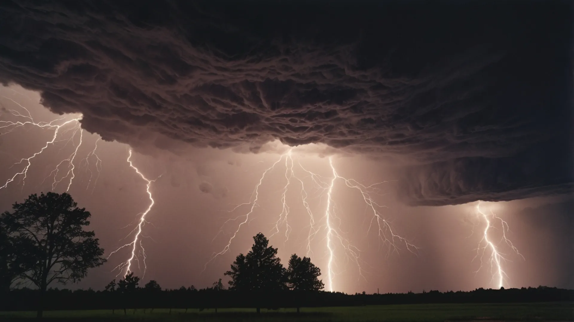
Europe Storm Warning: Tornado Risk, Giant Hail and Severe Winds in the 3-Day Forecast
A dangerous severe-weather setup is unfolding across Europe, with the highest risk focused on northern Italy, western and central Slovenia, and the far south of Austria. The main hazards are not ordinary summer showers: rotating supercells, tornado risk, very large hail, damaging wind gusts, intense rainfall and fast local flooding are all possible. The wider risk zone also extends toward Slovakia, southern Poland and the far west of Ukraine.
Main warning: ESTOFEX has issued a Level 2 risk for parts of northern Italy, far southern Austria and western/central Slovenia for June 10–11, mainly because of an increased tornado threat, very large hail and severe wind gusts. A Level 1 area surrounds the Level 2 zone and also stretches into Slovakia, southern Poland and far western Ukraine. The highest-impact period is expected from Wednesday afternoon into Wednesday night, but storm risk may continue in parts of central, southern and eastern Europe over the next three days.
3-day severe weather outlook for Europe
The first day of the forecast carries the strongest and most clearly defined severe-weather signal. After that, confidence decreases because thunderstorm placement will depend on leftover boundaries, cloud cover, local moisture and how quickly the frontal zone reorganizes. Still, the risk does not simply disappear after the Level 2 window: parts of the Balkans, central Europe, the Alpine-Adriatic region and eastern Europe may continue to see locally strong storms through the next 72 hours.
Forecast day
Main risk area
Primary hazards
Forecast confidence
Day 1: June 10–11
Northern Italy, western/central Slovenia, far southern Austria; Level 1 into Slovakia, southern Poland and far western Ukraine
Tornado risk, very large hail, damaging wind gusts, intense rain, flash flooding
High for a significant severe-storm episode in the Level 2 zone
Residual heavy showers, local thunderstorms, gusty winds, hail in stronger cells, local flooding
Moderate; nowcasting and updated Meteoalarm warnings are needed
Day 3: June 12–13
Eastern Alps, Balkans, Carpathian region, western Ukraine, parts of central and eastern Europe
Scattered storms, locally heavy rain, isolated hail and strong gusts
Lower; risk depends on the evolution of the frontal boundary
This is a nowcasting-sensitive severe-weather episode. The highest tornado and very large hail risk is on Day 1, but strong storms can redevelop locally over the following days along leftover boundaries. Check Meteoalarm and national weather services before travel, outdoor work or mountain routes.
Day 1: June 10–11 — the most dangerous storm window
The most dangerous part of the setup is valid from June 10 at 06:00 UTC to June 11 at 06:00 UTC. ESTOFEX highlights a Level 2 area from northern Italy into western and central Slovenia and far southern Austria. The risk is driven by a combination of warm, moist low-level air, cooling aloft, strong wind shear and a frontal boundary interacting with the Alps.
In northern Italy, storms may become organized supercells from the afternoon onward, especially from Lombardy into Trentino-Alto Adige, Veneto and Friuli Venezia Giulia. These storms can produce very large hail, potentially larger than 5 cm, severe wind gusts, intense local rainfall and tornadoes. ESTOFEX also notes that a strong tornado event cannot be ruled out if the mesoscale setup becomes more favorable.
In Slovenia and far southern Austria, the late afternoon and evening period is especially important. Mature storms may move in from northeastern Italy and interact with very favorable low-level wind profiles. This raises the risk for damaging gusts, large hail and tornadoes, especially in western and central Slovenia and Carinthia in southern Austria.
Country / region
Risk level
Main hazards
Most dangerous timing
Northern Italy: Lombardy, Veneto, Friuli Venezia Giulia, Trentino-Alto Adige
High / ESTOFEX Level 2 in key areas
Supercells, tornado risk, very large hail, damaging gusts, heavy rain
Wednesday afternoon, evening and first part of the night
Western and central Slovenia
High / ESTOFEX Level 2
Severe thunderstorms, hail, intense rain, gusty winds, tornado risk, local flooding
Isolated tornado risk, hail, strong gusts, heavy rain
Evening and night
Day 2: June 11–12 — storms shift and reorganize
After the main Level 2 episode, the severe-weather focus is expected to become more fragmented. The most dangerous long-track supercell environment should weaken, but the atmosphere may remain unstable enough for local strong thunderstorms. The risk zone may extend from the Alpine-Adriatic region toward the northern Balkans, Hungary, Slovakia, southern Poland and western Ukraine.
The main hazards on Day 2 are likely to be heavy showers, isolated hail, gusty thunderstorm winds and local flash flooding. If morning cloud cover is extensive, storm intensity may be lower. If the sun breaks through and heats the boundary layer, new storms can strengthen quickly along leftover outflow boundaries and frontal zones.
Day 2 area
Threat type
What to watch
Slovenia and northern Croatia
Heavy showers, thunderstorm clusters, local flooding
Scattered storms, gusty winds, hail in stronger cells
Storms forming along leftover boundaries
Slovakia and southern Poland
Local thunderstorms, hail, heavy rain
Slow-moving cells and localized downpours
Far western Ukraine
Isolated strong storms possible
Hail, wind gusts, short heavy rain, lightning
Day 3: June 12–13 — lower confidence, but local severe storms remain possible
By the third day, the main organized severe-weather signal becomes less certain, but local storms may still develop across parts of the eastern Alps, the Balkans, the Carpathian region and eastern Europe. The biggest risk will be from locally heavy rainfall and gusty thunderstorms rather than a widespread tornado outbreak.
Day 3 should be treated as a watch period rather than a fixed warning. In summer storm patterns, the atmosphere often reuses old boundaries. A storm complex from the previous night can leave a cold pool or outflow boundary, and the next day’s heating can turn that boundary into a new storm trigger. This is why people in central and eastern Europe should keep checking live warnings even if the main Level 2 map has expired.
Day 3 area
Possible hazards
Risk level
Eastern Alps
Local storms, heavy rain, small to isolated large hail
Low to moderate
Western Balkans
Scattered thunderstorms, downpours, gusty winds
Low to moderate
Carpathian region
Localized rainstorms, lightning, gusts
Low to moderate
Western Ukraine and nearby border areas
Isolated strong thunderstorm risk
Low, locally moderate if instability returns
Why tornadoes are possible in Europe this time
The tornado risk comes from the overlap of instability, moisture and wind shear. Warm and humid air near the ground provides fuel for thunderstorms. Cooler air aloft increases instability. Strong changes in wind speed and direction with height allow thunderstorms to rotate. If a storm remains discrete instead of merging immediately into a line, it can become a supercell and produce a tornado.
The Alpine-Adriatic zone is especially sensitive because local terrain can help organize low-level winds and boundaries. Northern Italy, Slovenia and southern Austria often sit near sharp contrasts between moist Mediterranean air, cooler air near the Alps and storm-cooled outflow. When those ingredients overlap, a short-lived but intense tornado can form even in Europe.
Very large hail: why the risk is serious
Very large hail is one of the clearest threats in the Level 2 area. Strong updrafts inside supercells can keep hailstones suspended in the storm long enough for them to grow. When hail exceeds 5 cm, it can damage cars, roofs, greenhouses, solar panels, crops and windows. It can also injure people and animals caught outdoors.
Hail size
Potential impact
Where risk is highest
2–3 cm
Damage to gardens, crops and exposed vehicles
Broader Level 1 area
3–5 cm
Car dents, cracked roof tiles, crop losses
Northern Italy, Slovenia, southern Austria
More than 5 cm
Serious vehicle, roof, greenhouse and solar-panel damage
Most likely inside strong supercells in the Level 2 zone
Damaging winds and flash flooding
Severe wind gusts can occur inside supercells or in larger storm clusters. The danger increases during the evening and night because visibility is lower and people may be less alert. Wind gusts can break branches, uproot trees, damage roofs and knock down power lines.
Flash flooding is another major concern, especially in Slovenia, northern Italy and Alpine terrain. Heavy rain over steep slopes can quickly raise small streams and trigger rainwater flooding. Roads, underpasses, basements and low-lying urban areas can flood rapidly.
Europe country-by-country risk map
Country
3-day concern
Main hazards
What to do
Italy
Highest on Day 1 in the north
Tornadoes, giant hail, damaging wind, heavy rain
Monitor regional alerts, protect cars and crops, avoid exposed areas during storms
Avoid torrential watercourses, mountain roads and exposed coastal areas during storms
Austria
High in the far south on Day 1
Rotating storms, hail, damaging gusts, heavy rain
Check warnings in Carinthia and Alpine routes before travel
Croatia
Moderate local risk Day 2
Storm clusters, heavy rain, gusty winds
Watch the northern Adriatic and inland storm development
Hungary
Moderate local risk Day 2
Storm gusts, hail, heavy showers
Track storms moving out of Austria and Slovenia
Slovakia
Level 1 on Day 1, local storms afterward
Hail, gusts, heavy rain, isolated tornado risk
Monitor evening and night storms
Poland
Level 1 in the south on Day 1
Heavy showers, hail, wind gusts
Follow local warnings, avoid parking under trees
Ukraine
Far western Ukraine has Level 1 risk on Day 1
Isolated strong storms, hail, gusts, local heavy rain
Watch Zakarpattia, Lviv, Ivano-Frankivsk and border regions if storms develop
Timing: when storms may be most dangerous
Period
Central European Time
Eastern European Time
Main risk
Wednesday morning
08:00–12:00
09:00–13:00
Early instability, first local storms, atmosphere preparing for severe development
Wednesday afternoon
12:00–18:00
13:00–19:00
Storm initiation, large hail risk increasing in northern Italy and Alpine-Adriatic zone
Wednesday evening
18:00–23:00
19:00–00:00
Main window for supercells, tornado risk, severe gusts and very large hail
Night to Thursday
23:00–08:00
00:00–09:00
Storm clusters, heavy rain, damaging gusts, flash flooding risk
Thursday daytime
08:00–20:00
09:00–21:00
Residual storms and local flooding risk, especially where boundaries remain active
Friday
All day, local timing
All day, local timing
Lower-confidence scattered storm risk in the eastern Alps, Balkans and Carpathian region
How to recognize a dangerous storm
In a Level 2 setup, the most dangerous storms can intensify rapidly. Do not wait until a tornado is confirmed to move to safety. Warning signs include a rapidly darkening sky, rotating low clouds, a funnel-shaped lowering, large hail, a sudden wall of rain, roaring wind or flying debris.
Warning sign
What it may mean
What to do
Rotating low cloud base
Possible supercell or mesocyclone
Move indoors, stay away from windows
Funnel cloud or flying debris
Possible tornado
Go to a basement or interior room immediately
Large hail
Powerful storm updraft
Get people, animals and vehicles under cover
Sudden damaging wind
Downburst or storm gust front
Avoid trees, power lines, scaffolding and weak structures
Fast-moving water on roads
Flash flooding
Do not drive through floodwater
Safety advice for travelers and residents
This severe-weather episode affects major travel and tourist regions: northern Italy, the Alps, Slovenia, southern Austria, the northern Adriatic and routes toward central and eastern Europe. Drivers, hikers, cyclists, campers, farmers, construction workers and boat owners should take the risk seriously.
If a warning is issued for your area, move indoors before the storm arrives. Do not stand under trees during lightning or wind. Do not film a funnel cloud from an exposed location. Protect vehicles from hail if possible. Avoid flooded roads, mountain streams and underpasses during intense rain.
Use Pogodnik to track local storm risk
Severe thunderstorms are highly local. One town may get only rain, while a nearby valley or city is hit by hail, wind damage or a tornado-producing supercell. That is why a country-level forecast is not enough during events like this.
Europe faces a dangerous 3-day severe-weather period, with the highest-impact window on June 10–11. The core risk zone is northern Italy, western and central Slovenia and far southern Austria, where tornadoes, very large hail, damaging winds and flash flooding are possible. A lower but still important risk extends into Slovakia, southern Poland and far western Ukraine.
For the following two days, the storm threat becomes more local and less certain, but residual boundaries may still produce heavy showers, hail and strong gusts across parts of central, southern and eastern Europe. This is a situation where updated warnings matter more than a static forecast. Check live alerts before travel, outdoor work, mountain routes or coastal activities.
FAQ: Europe storm warning and 3-day forecast
Where is the highest tornado risk in Europe?
The highest tornado risk is in the ESTOFEX Level 2 area: northern Italy, western and central Slovenia and far southern Austria. A strong tornado event cannot be ruled out if storms remain discrete and interact with favorable low-level wind profiles.
Which countries are under the strongest severe-storm threat?
Northern Italy, Slovenia and southern Austria have the strongest Day 1 threat. Slovakia, southern Poland and far western Ukraine have a lower but notable Level 1 risk.
How long will the storm risk last?
The strongest signal is from June 10 to early June 11. Local storm risk may continue on June 11–12 and June 12–13, especially around the eastern Alps, the Balkans, the Carpathian region and parts of eastern Europe.
Could Ukraine be affected?
Yes, but mainly far western Ukraine. The risk is lower than in Italy and Slovenia, but isolated strong storms may bring hail, strong gusts and heavy rain if storms form along the boundary.
Where is giant hail most likely?
Very large hail is most likely in northern Italy and Slovenia, especially inside strong supercells in the Level 2 zone.
What does ESTOFEX Level 2 mean?
Level 2 means an elevated risk of severe convective weather. It does not mean every location will be hit, but storms that form in the zone may produce significant damage.
What should drivers do?
Avoid driving through floodwater, do not park under trees, stop in a safe place if large hail begins, and check warnings before crossing Alpine or Adriatic routes.
Sources and methodology
This article is based on the ESTOFEX storm forecast valid from June 10, 2026 06:00 UTC to June 11, 2026 06:00 UTC, the ESTOFEX storm forecast map, Meteoalarm live warning portal, Italian Civil Protection thunderstorm alert information and ARSO Slovenia warning text. The 3-day outlook separates the high-confidence Day 1 Level 2 risk from lower-confidence residual storm risks on Days 2 and 3. Forecasts for later days should be updated with fresh national warnings and nowcasting data.
The Founder and Chief Meteorologist at Pogodnik.com. With over 15 years of operational experience in synoptic analysis and climate forecasting, he specializes in storm tracking, magnetic storms, and atmospheric dynamics. A recognized expert in Ukraine’s meteorological sector, he maintains strategic collaborations with global agencies, including NOAA and ECMWF, to ensure high-precision data integration. His analytical reviews and scientific contributions are regularly featured in leading media outlets dedicated to weather science and environmental trends.