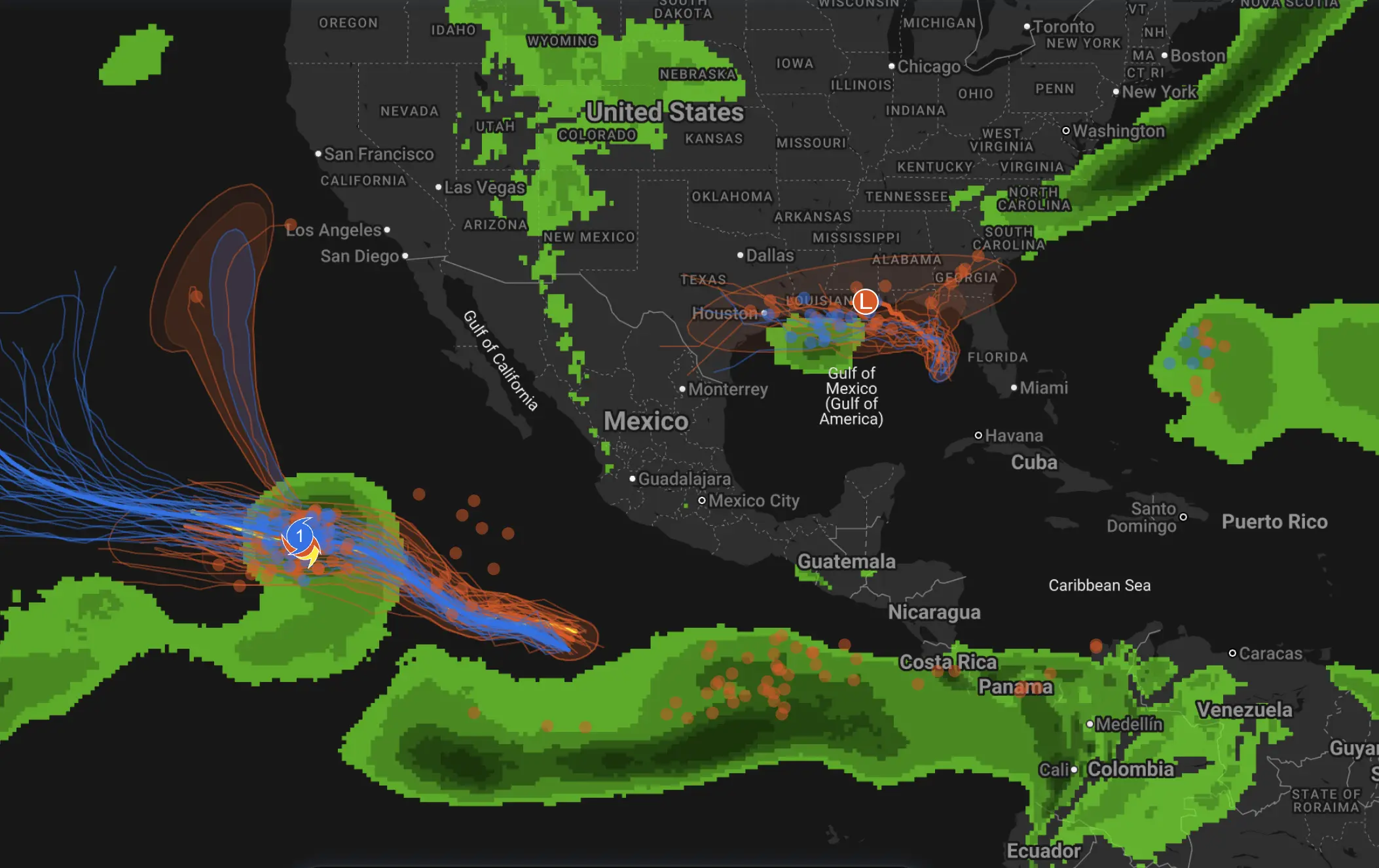
America’s tornado season has roared to life early on the calendar — and it has already turned deadly. In just a matter of days, violent storms spun up tornadoes from Texas and Oklahoma to Kansas and Michigan, killed at least eight people, tore apart homes, and hurled large hail across the southern Plains. What made this outbreak so dangerous was not just the number of tornadoes, but the way the atmosphere snapped into full spring severe-weather mode before much of the country had fully shifted out of winter.
America’s Tornado Season Just Started Early — and It’s Already Turned Deadly
By the first week of March 2026, the central United States was already dealing with the kind of weather setup that usually defines the heart of the severe season: rich Gulf moisture surging north, a sharpening dryline, an amplifying upper-level trough, and strong wind shear capable of organizing rotating supercells. Once those ingredients locked together, the result was exactly what forecasters fear most — tornadoes, very large hail, destructive straight-line winds, and a damage path that stretched across multiple states.
The deadliest early blow came in Oklahoma. Near Fairview on March 5, a tornado struck west of town and killed a mother and daughter after their vehicle was hit near U.S. Highway 60. By the next day, damage surveys by the National Weather Service office in Norman rated that tornado EF-2. According to survey details reported after the event, the tornado stayed on the ground for about 7 miles and produced peak winds estimated between 115 and 120 mph. In the language of severe weather, that is a strong tornado — powerful enough to destroy weakly built structures, flip vehicles, and leave a narrow corridor of violent damage behind.
🚨 Mother and daughter killed by a tornado yesterday! 🙏
Fairview was not the only Oklahoma story. As the outbreak evolved, additional fatalities were reported in Okmulgee County after an apparent tornado hit a home northeast of Beggs. By March 8, the death toll across Oklahoma and Michigan had risen to at least eight, according to The Watchers’ compilation of storm reports and local authority updates.
Then came Michigan. On March 6, severe storms and tornadoes tore across the southwestern part of the state, killing four people and injuring more than a dozen. The hardest-hit areas were Branch County and Cass County. In the Union Lake area near Union City, three people were killed and 12 were injured. In Cass County, another person was killed and several more were hurt after a tornado touched down near Edwardsburg. Homes were heavily damaged or destroyed, barns were flattened, trees were uprooted, and power lines were dragged to the ground.
Check Out This Incredible Zoomed In Up-Close View Of Entire Homes Being Lofted Thrown By An Incredibly Violent Tornado Earlier Today.
Unfortunately 3+ People Were Killed By This Tornado As It Moved Over Neighboorhoods Along Union Lake Outside Of The Town Of Union City, Michigan.… pic.twitter.com/XcHgTjG14y
For Michigan, that made the outbreak feel especially jarring. Tornadoes are not unheard of there, but a violent early-March setup that kills multiple people and produces widespread structural damage hits differently in a state where many residents are still mentally in “late winter” mode. The visual contrast only added to the shock: tornado footage, mangled buildings, and emergency crews working through the night in a landscape that only recently belonged to snow season.
This was not a one-tornado event. It was a broader severe weather outbreak spreading across the southern and central Plains and then into the Midwest. According to The Watchers, the Storm Prediction Center received at least seven tornado reports on March 5 across parts of Kansas, Oklahoma, and Texas alone. By March 8, the total number of tornado reports from March 5–6 had climbed to more than 25 across five states. Not every report had been fully confirmed by National Weather Service surveys at that stage, but multiple EF-1 and EF-2 tornadoes had already been identified.
And tornadoes were only part of the story. Large hail was a major hazard throughout the outbreak. In the southern Plains, hailstones measuring from 1 to 2 inches were reported in multiple locations, and the largest hail report highlighted in coverage reached 2.25 inches near Lakeview in Hall County, Texas. Earlier forecast discussions had warned that some supercells could produce hail as large as 2 to 3 inches in diameter. That is not “small hail” by any standard — that is windshield-shattering, roof-damaging, vehicle-denting hail that can turn an already dangerous storm into a high-cost disaster even in places that never see a tornado.
The video below is not from the March 2026 outbreak, but it is a vivid example of how quickly a tornado can overrun a work site and leave almost no margin for error.
— Dudes Posting Their W’s (@DudespostingWs) April 23, 2025
What made the outbreak escalate so quickly was the atmospheric structure. Forecast discussions ahead of the event pointed to a dryline sharpening across Texas and Oklahoma, while strengthening southerly flow carried moisture north from the Gulf of Mexico. At the same time, an amplifying trough over the western United States increased deep-layer wind shear across the Plains. That combination is a classic supercell recipe. Once storms formed, they had the fuel to intensify, the instability to build large hail cores, and the wind profile to rotate.
Forecasters had already seen the signal before the damage began. On March 5, the Storm Prediction Center placed parts of the eastern Texas Panhandle and western Oklahoma under an Enhanced Risk for severe thunderstorms, highlighting the potential for very large hail, damaging winds, and a few tornadoes. Forecast soundings suggested enough instability and shear for discrete supercells, especially late in the afternoon and evening. In plain English, that meant storms could remain separated long enough to become efficient tornado and hail producers before eventually clustering into a broader convective complex.
The outbreak also showed how severe weather risk can migrate quickly. Early concern focused on the southern Plains, but as the system evolved and a warm front lifted north, the threat spread east and northeast into parts of the Midwest. That is one reason outbreaks like this can feel so relentless: even when one region starts to clear out, another is just moving into the line of fire.
The practical lesson is as old as tornado meteorology itself. Tornado season does not wait for the public to feel ready for it. Once Gulf moisture, sharp boundaries, and strong upper-level flow come together, the atmosphere does not care whether the calendar still says early March. The result can look like peak spring severe weather long before many people expect it.
For forecasters, this outbreak was also a warning sign for the weeks ahead. If the broader pattern keeps delivering moisture-rich return flow into the Plains and Midwest while strong wind fields remain in place aloft, more supercell days will be possible. That does not mean every setup will produce deadly tornadoes. But it does mean the severe-weather engine is already running, and early-season complacency could become a real problem.
That is why outbreaks like this matter beyond the immediate death toll. They reset public attention. They remind residents in tornado-prone states that shelter plans, warning apps, and overnight alert settings matter long before April and May headlines arrive. And they show that in the United States, tornado season does not always begin with a slow ramp-up. Sometimes it simply kicks the door open.
The Founder and Chief Meteorologist at Pogodnik.com. With over 15 years of operational experience in synoptic analysis and climate forecasting, he specializes in storm tracking, magnetic storms, and atmospheric dynamics. A recognized expert in Ukraine’s meteorological sector, he maintains strategic collaborations with global agencies, including NOAA and ECMWF, to ensure high-precision data integration. His analytical reviews and scientific contributions are regularly featured in leading media outlets dedicated to weather science and environmental trends.