Historic Flash Floods and Lightning Strike Devastate New Jersey: Three Dead, Dozens Injured
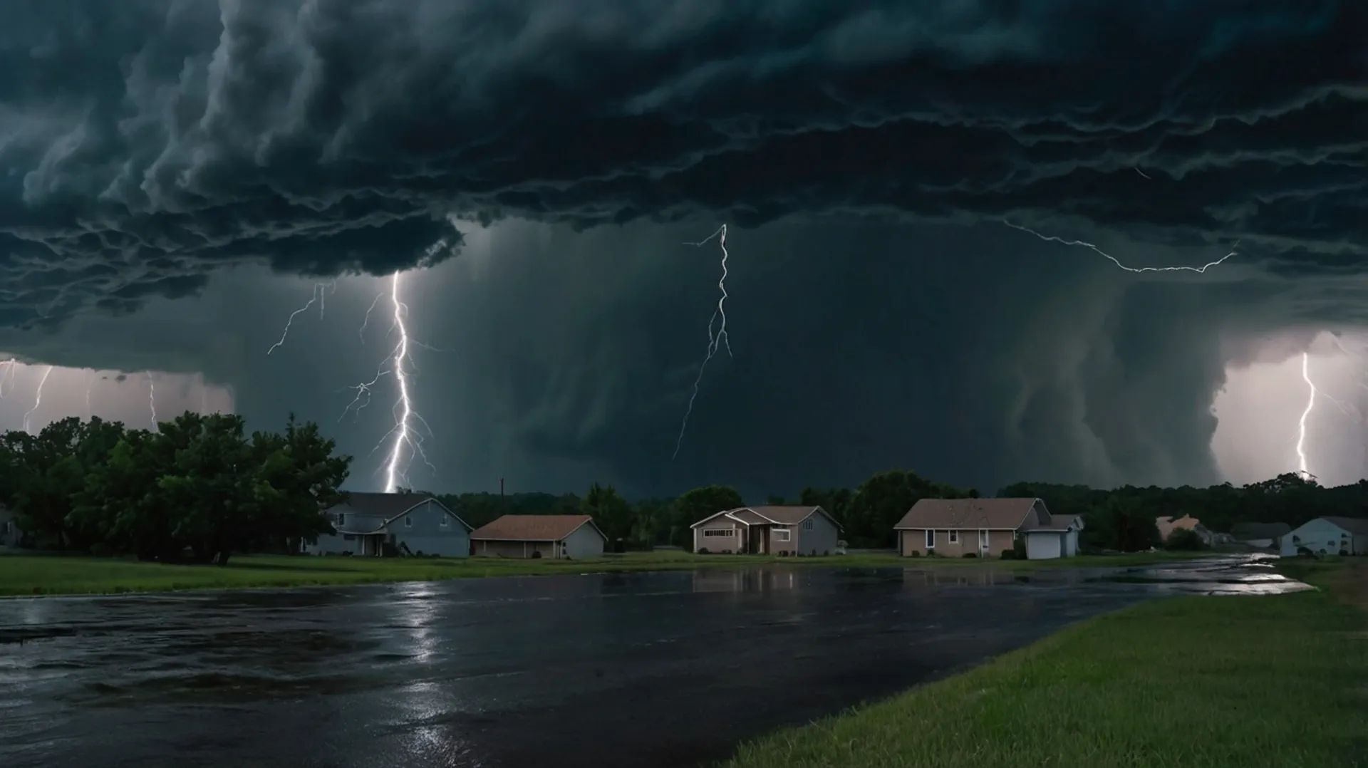
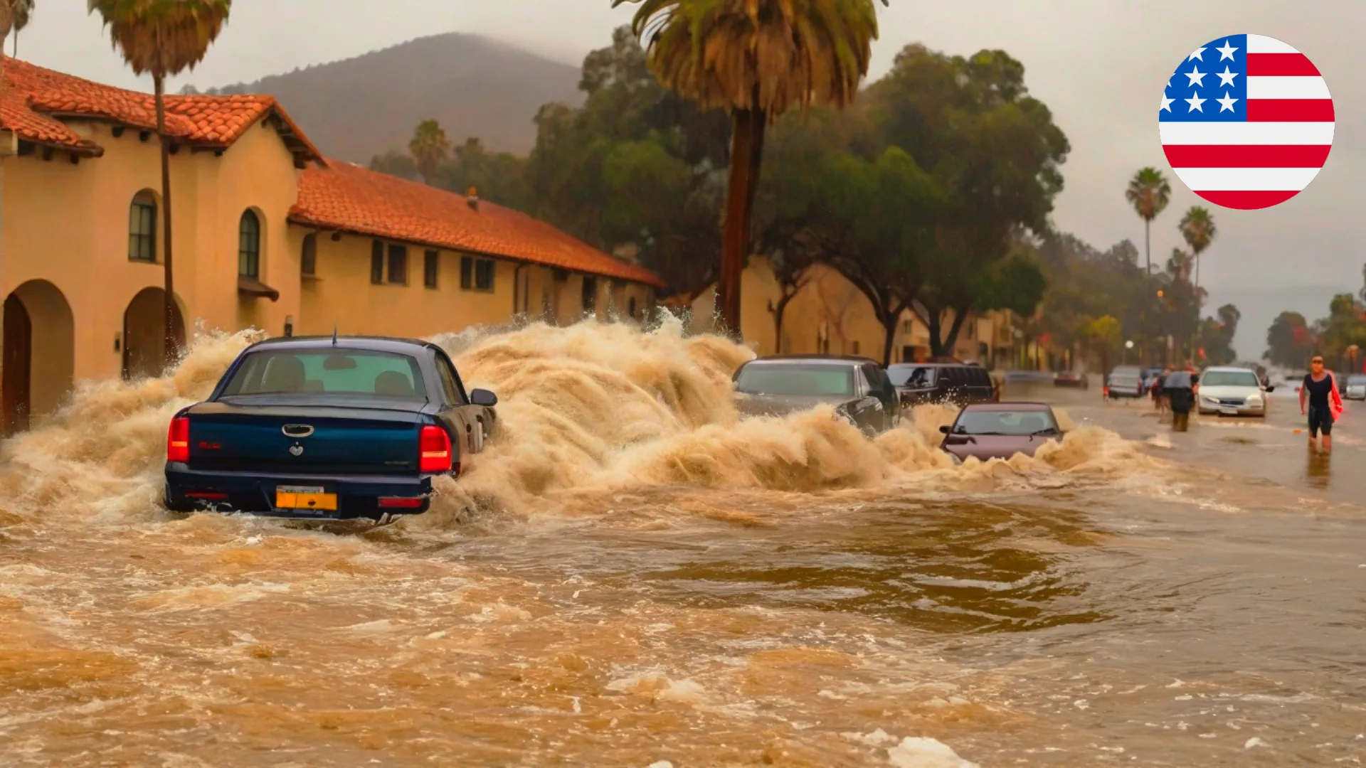
A relentless barrage of extreme weather struck New Jersey between July 14 and 16, 2025, as torrential rains triggered catastrophic flash flooding and a deadly lightning strike claimed lives and caused widespread disruption. In Plainfield, two women perished when their vehicle was swept into Cedar Brook by floodwaters on July 14, prompting a statewide emergency declaration. Just two days later, a lightning strike at an archery range in Jackson Township killed a 61-year-old man and injured 13 others, including children. With record-breaking rainfall inundating urban infrastructure and severe thunderstorms unleashing chaos, New Jersey faces a stark reminder of the growing intensity of climate-driven weather events.
🚨🇺🇸 New Jersey right now.
How many “Once in a Thousand Years Flood” does America have to suffer In a week to realise something might not be right?
— Concerned Citizen (@BGatesIsaPyscho) July 15, 2025
Introduction: A Double Blow of Nature’s Fury
New Jersey endured a harrowing week of extreme weather, with flash floods and a lightning strike leaving a trail of destruction and loss. On July 14–15, a slow-moving cold front fueled by record-high atmospheric moisture unleashed over 150 mm (6 inches) of rain in hours, submerging roads, flooding subway stations, and claiming two lives in Plainfield, Union County. Governor Phil Murphy declared a state of emergency as emergency crews conducted over 1,200 rescues. On July 16, a sudden lightning strike at the Black Knight Bowbenders archery range in Jackson Township, Ocean County, killed a 61-year-old man and injured 13 others, including children as young as 7. These events, part of a broader pattern of intense storms across the Northeast, highlight vulnerabilities in aging infrastructure and the escalating risks of climate change.
Geography of the Events
The flash flooding was concentrated in central and northern New Jersey, with Union, Somerset, Middlesex, and Essex counties hardest hit. Plainfield, Watchung, and North Plainfield saw severe inundation, with rainfall totals reaching 6.67 inches in Clark and 6.51 inches in Watchung. The lightning strike occurred in Jackson Township, Ocean County, approximately 50 miles south of Plainfield. The storms affected a broader region, including New York City, where Central Park recorded 2.07 inches of rain in a single hour, and southeastern Pennsylvania, where Mount Joy reported 7 inches. The slow-moving cold front, interacting with moist air from the Atlantic, drove heavy rainfall across the Tri-State area, with flash flood warnings extending from Virginia to New York.
Meteorological Characteristics
The flooding was triggered by a slow-moving cold front colliding with high precipitable water values, creating intense thunderstorms with rainfall rates exceeding 50 mm (2 inches) per hour. On July 14, Watchung recorded 6.51 inches of rain, while Edison and Mountainside saw 5.35 and 5.34 inches, respectively. The National Weather Service (NWS) reported that New York City’s Central Park experienced its second-wettest hour ever, with 2.07 inches between 19:00 and 20:00 LT, surpassing a 117-year-old record for July 14. The lightning strike on July 16 occurred during a severe thunderstorm in Ocean County, with no visible rain or storm at the archery range moments before, highlighting the unpredictable nature of lightning. The NWS had issued thunderstorm warnings earlier that day, compounded by ongoing flash flood risks.
Forecast and Dynamics
The NWS forecasted additional scattered storms through July 16, though less intense than the July 14 deluge. A second wave of heavy rain was expected Wednesday night into Thursday, July 17, with rainfall rates of 1–2 inches per hour possible in parts of New Jersey and Virginia. The Weather Prediction Center noted that saturated soils increased flash flood risks even with moderate rainfall. The storms were driven by a combination of warm, humid air and a stalled cold front, creating conditions for rapid runoff in urban areas. By July 17, the heaviest rainfall had shifted east, but residual flooding persisted, with cleanup efforts ongoing in Union and Somerset counties.
Potential Impacts
The flash floods caused widespread devastation, submerging vehicles, closing major roads like Route 22 and I-78, and flooding New York City subway stations, including 28th Street and 34th Street-Penn Station. In Plainfield, two women died when their car was swept into Cedar Brook, marking the second deadly flood in the city that month after a July 3 storm killed two others. Over 1,200 emergency calls were logged in Union County alone, with 19 water rescues reported. In North Plainfield, a house exploded around 23:00 LT on July 14, likely due to flood-related gas leaks, though no injuries occurred as residents had evacuated. The lightning strike in Jackson Township injured 13, with victims suffering burns and temporary loss of consciousness. Power outages affected thousands, and flight cancellations at Newark, JFK, and LaGuardia airports numbered in the hundreds. Economic losses, including damaged homes, businesses, and infrastructure, are estimated in the tens of millions.
Recommendations and Warnings
The NWS and Governor Murphy urged residents to avoid flooded roads, with the mantra “Turn around, don’t drown” emphasized due to the danger of even 6 inches of water. Basement apartment dwellers were advised to prepare go-bags and move to higher ground. The NWS extended flash flood warnings for Union, Somerset, and Middlesex counties until 10:15 LT on July 15, and thunderstorm warnings were active in Ocean County on July 16. Residents were encouraged to monitor NWS updates, charge devices, and report outages to utilities. Emergency shelters were opened in Plainfield and North Plainfield, and the NJ Board of Public Utilities warned against touching downed power lines. For real-time updates, residents should check NWS Mount Holly, 511NJ.org, or local news outlets like CBS New York.
Historical Context
The July 14–15 flooding ranks among New Jersey’s most severe, with rainfall intensities comparable to Hurricane Ida in 2021, which killed 30 across the state. The Raritan Basin, heavily impacted this week, saw record flooding in 1999 from Hurricane Floyd, with 8 counties declared disaster areas. The lightning strike adds to a string of incidents, including a fatal strike in Hamburg on July 8 and a non-fatal strike in Central Park in June. The National Lightning Safety Council notes 12 lightning-related deaths in 2025, with New Jersey’s incidents reflecting a pattern of increased severe weather. Climate Central reports that hourly rainfall rates have intensified in 90% of U.S. cities since 1970, driven by warmer air holding more moisture, a trend exacerbating flood and storm risks.
Conclusion
New Jersey’s devastating week of July 14–16, 2025, saw flash floods and a lightning strike claim three lives and disrupt millions. The record rainfall, peaking at 6.67 inches in Clark, overwhelmed infrastructure, while the sudden lightning strike in Jackson Township underscored the unpredictable threat of thunderstorms. As cleanup continues and more rain looms, Governor Murphy’s state of emergency and NWS warnings urge vigilance. The events, part of a broader surge in extreme weather, highlight the need for resilient infrastructure and robust preparedness. Residents should stay informed via NWS updates, expected next at 12:00 LT on July 18, and prioritize safety amid ongoing risks.
Sources
The Watchers: Flash flood and lightning strike reports.
National Weather Service (NWS): Rainfall data and warnings.
CBS New York: Flooding and rescue coverage.
Reuters: Regional storm impact reports.
The New York Times: Infrastructure and casualty details.
The Founder and Chief Meteorologist at Pogodnik.com. With over 15 years of operational experience in synoptic analysis and climate forecasting, he specializes in storm tracking, magnetic storms, and atmospheric dynamics. A recognized expert in Ukraine’s meteorological sector, he maintains strategic collaborations with global agencies, including NOAA and ECMWF, to ensure high-precision data integration. His analytical reviews and scientific contributions are regularly featured in leading media outlets dedicated to weather science and environmental trends.