Chicago Could Face a Dangerous Storm Setup as “Off-the-Chart” Rotation Builds Over Illinois
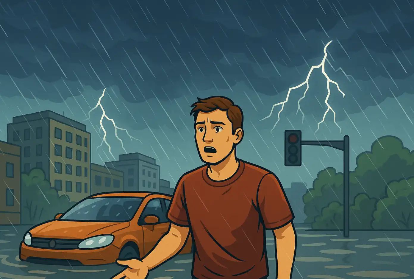
A dangerous severe weather setup is unfolding across Illinois and Indiana, with Chicago and the surrounding suburbs facing a serious risk of damaging thunderstorms, fast-moving wind damage, large hail, torrential rain and rotating storms. The most extreme tornado threat appears to increase south of I-80, but the Chicago metro area is still close enough to the volatile environment that residents should treat this as a high-alert severe weather day.
The main message: this is not an ordinary summer thunderstorm setup. NOAA‘s Storm Prediction Center highlights a Moderate Risk for severe storms over Illinois and Indiana, with the potential for several intense tornadoes, damaging wind gusts over 75 mph and wind-driven hail. NWS Chicago warns of a Level 4 out of 5 tornado risk, damaging winds up to 80 mph, hail up to golf-ball size and localized flash flooding. The highest-impact window is expected from mid-afternoon into the evening.
Chicago may not be in the absolute bullseye, but it is close enough to the danger zone. The tornado and destructive wind threat increases southward from I-80, yet storms moving at 50 to 55 mph can reach communities quickly. Anyone in northern Illinois, the Chicago suburbs, northwest Indiana and central Illinois should have multiple ways to receive warnings.
What the NOAA forecast says
The Storm Prediction Center describes an outbreak of severe thunderstorms centered on Illinois and Indiana. The official hazards include several intense tornadoes, swaths of damaging wind gusts over 75 mph and damaging wind-driven hail.
The setup is being driven by a powerful mid- and upper-level jet moving into the Midwest, a strengthening low-level jet, rapidly increasing moisture and enough instability for explosive storm development. SPC expects the atmosphere to recover quickly across northern Missouri, Illinois and Indiana, with 65–70°F dewpoints and 2000–3000 J/kg of MLCAPE supporting severe thunderstorm growth.
NWS Chicago’s local outlook is especially strong. It lists a significant thunderstorm risk with a Level 4 out of 5 tornado risk, Level 3 out of 5 damaging wind risk up to 80 mph, Level 2 out of 5 hail risk up to golf-ball size and significant flooding risk. The most substantial severe threat is expected between 2 p.m. and 9 p.m.
Why the wind setup looks so dangerous
The first wind-analysis shows a dramatic change in wind direction and speed with height. Near the surface, winds are from the south-southeast. Around 5,000 feet, the flow turns southwesterly. Near 10,000 feet, winds become west-southwesterly, while stronger west winds dominate around 500 millibars. That vertical turning and strengthening of wind with height is exactly what severe-weather forecasters call strong wind shear.
For thunderstorms, this matters because rising air inside a storm does not move through the same wind at every level. When winds turn and accelerate with height, a thunderstorm updraft can begin rotating. If instability is present at the same time, the storm can organize into a supercell capable of producing large hail, damaging winds and tornadoes.
The highlight a low-pressure area over Illinois and strong arrows pointing into the Great Lakes region. That indicates a focused corridor where warm, moist air near the surface can meet stronger winds aloft.
Satellite analysis: a powerful Midwest storm system
A large cloud shield and storm system spreading across the Upper Midwest and Great Lakes. The broad circulation and cloud structure suggest a deep, organized system rather than scattered pop-up storms. In a setup like this, storms can form in waves: one round may produce damaging winds and heavy rain, while a later round can mature into discrete or semi-discrete supercells.
That is the dangerous part for Chicago, northern Illinois and northwest Indiana. Morning storms can complicate the forecast, but if the atmosphere destabilizes again by afternoon, the wind field will already be strong enough to support rapid storm rotation.
Chicago risk zone: what areas should watch most closely?
This is closer to the core of the Moderate Risk and supercell corridor.
Lake Michigan shoreline
Storm and marine risk
Dangerous lightning, waterspouts, high swim risk, hazardous small-craft conditions
Thunderstorms over or near the lake can create sudden marine hazards.
Why “off-the-chart rotation” matters
Rotation in a storm environment is often measured through wind shear and storm-relative helicity. When low-level winds are very strong and turn sharply with height, storms can ingest rotating air close to the ground. If a supercell develops in that environment, the tornado threat can rise quickly.
This does not mean every storm will produce a tornado. It means any storm that can remain organized and surface-based may have a much higher ceiling than usual. In this case, the most dangerous storms may not look like a solid wall of rain at first. They may begin as individual rotating supercells before evolving or merging into broader storm clusters.
Main hazards for Chicago and northern Illinois
Hazard
Forecast signal
Impact
Tornadoes
Strong low-level shear, rotating supercells and a Level 4 tornado risk in the NWS Chicago outlook area
Potential for strong, long-track tornadoes, especially south of I-80 and across central Illinois into Indiana
Damaging winds
Fast-moving storms and wind gust potential up to 80 mph
Tree damage, power outages, roof damage, dangerous driving conditions and possible structural damage
Large hail
Supercell storm mode and strong updraft rotation
Golf-ball-size hail possible, with vehicle, roof, crop and window damage
Flash flooding
Torrential rainfall in repeated thunderstorms
Urban flooding, flooded underpasses, ponding on expressways and dangerous low-lying roads
Lake Michigan hazards
Strong storms, high swim risk and hazardous nearshore conditions
Dangerous waves, lightning, waterspout risk and small-craft hazards
Timing: when storms may hit
Scattered storms are possible from the morning into early afternoon, but the more substantial severe weather threat is expected from mid-afternoon through early evening. NWS Chicago highlights the main window from about 2 p.m. to 9 p.m., with storms moving generally east at 50 to 55 mph.
That fast motion is important. A warning may leave only limited time to act. If a tornado warning or destructive severe thunderstorm warning is issued, move immediately to shelter rather than waiting to visually confirm the storm.
Why the forecast can still shift
The exact placement of the warm front and the amount of instability after early storms will decide where the highest tornado risk sets up. If the warm front lifts farther north, the Chicago area could be closer to the strongest rotation zone. If it stays farther south, the most dangerous tornado corridor may remain focused across central Illinois and Indiana.
That uncertainty does not reduce the seriousness of the setup. It means residents across the broader Chicago region should monitor updates frequently, because the highest-risk corridor can shift within a few hours.
Safety checklist before storms arrive
Action
Why it matters
Charge phones and power banks
Power outages are possible if 70–80 mph winds hit trees and power lines.
Enable Wireless Emergency Alerts
Tornado and flash flood warnings may be issued quickly.
Know your shelter location
Use a basement or interior room on the lowest floor, away from windows.
Do not shelter in a vehicle or mobile home
These are extremely dangerous in tornadoes and destructive winds.
Bring pets indoors early
Storms will move fast, leaving little time once warnings are issued.
Move cars away from trees if safe
Strong winds and large hail can cause vehicle damage.
Avoid flooded underpasses
Chicago-area roads can flood quickly during torrential rain.
What to do during a tornado warning
Move immediately to a basement or an interior room on the lowest floor.
Stay away from windows, exterior walls and large open rooms.
Use a helmet, heavy blanket or mattress to protect your head and neck.
Do not try to outrun a tornado in a car in a metro area.
If you are in a high-rise building, move to an interior hallway or stairwell on the lowest accessible floor.
If you are outside, seek a sturdy building immediately.
Weather Forecaster app
Use App to track local weather, storms, wind and severe-weather changes before dangerous thunderstorms arrive. Check hourly forecasts, wind, precipitation, cloud cover and local weather updates for your location. Download the Android app: https://play.google.com/store/apps/details?id=com.bitltd.pogodnik
Main takeaway
This is a serious severe weather setup for Illinois and Indiana. Chicago may sit near the northern edge of the most dangerous tornado corridor, but the environment is volatile enough that the entire metro area should remain weather-aware. The combination of extreme wind shear, strong low-level flow, instability, fast storm motion and a powerful Midwest storm system creates a risk for rotating supercells, destructive winds, large hail and flash flooding.
The safest approach is simple: prepare before storms arrive, keep warnings enabled, avoid flooded roads, and shelter immediately if a tornado warning or destructive thunderstorm warning is issued.
FAQ: Severe weather Chicago
Is Chicago under the highest tornado risk?
The highest tornado risk appears to increase south of I-80 and into central Illinois and Indiana. However, Chicago and the suburbs remain close enough to the severe storm environment to face damaging winds, hail, flooding and at least some tornado risk.
What time is the worst severe weather expected?
The main severe weather window is expected from mid-afternoon into the evening, especially between about 2 p.m. and 9 p.m. Central Time.
Could storms produce tornadoes near Chicago?
Yes, tornadoes are possible in the broader region. The strongest tornado threat is more likely south of the city, but any storm that becomes surface-based and rotating could become dangerous quickly.
How strong could the winds get?
NWS Chicago highlights damaging winds up to 80 mph, while SPC warns of damaging gusts over 75 mph in the broader Illinois and Indiana risk area.
Could this become a derecho?
The current setup favors rotating supercells and damaging wind-producing storms. A broader wind event is possible if storms merge into a fast-moving line, but the key concern is all hazards: tornadoes, destructive winds, hail and flash flooding.
What should people in Chicago do now?
Charge devices, enable emergency alerts, know your shelter location, avoid travel during warnings, keep pets indoors and do not drive through flooded underpasses.
Sources and methodology
This article is based on NOAA Storm Prediction Center Day 1 Convective Outlook guidance, NWS Chicago Hazardous Weather Outlook information, and analysis of the provided wind-shear and satellite images. The article focuses on Chicago, northern Illinois, northwest Indiana and the surrounding severe weather corridor.
The Founder and Chief Meteorologist at Pogodnik.com. With over 15 years of operational experience in synoptic analysis and climate forecasting, he specializes in storm tracking, magnetic storms, and atmospheric dynamics. A recognized expert in Ukraine’s meteorological sector, he maintains strategic collaborations with global agencies, including NOAA and ECMWF, to ensure high-precision data integration. His analytical reviews and scientific contributions are regularly featured in leading media outlets dedicated to weather science and environmental trends.