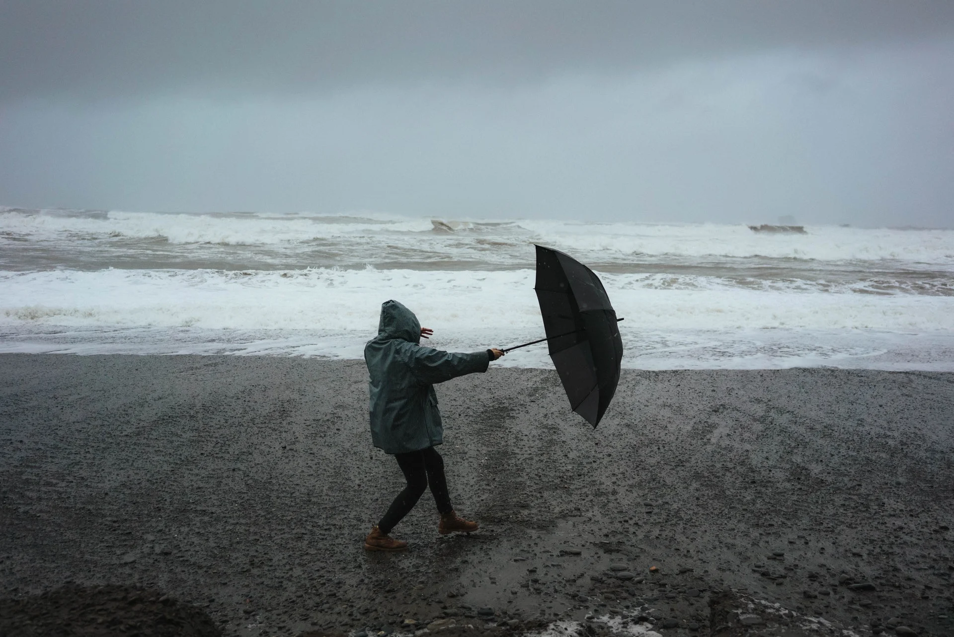
Auckland Braces for Heavy Rain and Thunderstorms Weather Report for Local Residents
A powerful storm system is battering Auckland and the upper North Island, bringing heavy rain, strong winds, and the potential for severe thunderstorms. As of 9 May 2025, MetService has issued orange heavy rain warnings and severe thunderstorm watches for Auckland, Northland, the Coromandel Peninsula, Bay of Plenty, and other regions. Localised downpours of 25–40 mm/h are possible, with 23 mm already recorded in Birkdale and 22 mm in Kumeū in just one hour yesterday afternoon.
Forecast for Auckland
Today (Saturday, 10 May 2025): Expect heavy rain throughout the day, with a severe thunderstorm watch in place from 2pm to 7pm. A deceptive lull, or “sucker’s gap,” may occur mid-afternoon, but more intense rain is forecast for the evening commute. Thunderstorms could bring sudden downpours, increasing the risk of flash flooding.
Tomorrow (Sunday, 11 May 2025): Conditions may ease slightly, but scattered showers and gusty winds are still likely as the low-pressure system lingers.
Rainfall Impact: Areas like streams, rivers, and low-lying zones are at high risk of surface and flash flooding. Slips are also possible in hilly areas.
Impacts on Daily Life
Commuters: Prepare for delays, especially during the afternoon and evening rush. A vehicle breakdown on the Upper Harbour Bridge yesterday already caused significant congestion, and more disruptions are likely. NZTA advises allowing extra travel time.
Air Travel: Dozens of domestic flights at Auckland Airport have been delayed. Check the Auckland Airport website for real-time updates on arrivals and departures.
Safety Risks: Flash flooding could make roads hazardous, particularly in low-lying areas. Avoid walking or driving through flooded zones, as even shallow water can be dangerous.
Advice for Residents
Stay Informed: Monitor MetService updates and severe weather alerts. Follow 1News or local radio for real-time information.
Prepare for Flooding: Clear drains and gutters around your property to reduce flood risk. Move valuables to higher ground if you live in a flood-prone area.
Travel Smart: If possible, avoid non-essential travel during peak storm hours (late afternoon to evening). Carry an umbrella and waterproof clothing.
Power and Safety: Charge devices in case of power outages, and keep a torch handy. Stay clear of downed power lines or flooded areas.
The storm is part of a broader weather system affecting New Zealand. Northland, Bay of Plenty, and Tongariro National Park are under orange heavy rain warnings, while strong wind watches cover multiple regions. Yesterday, Methven recorded a 150 km/h wind gust, and Hokitika saw 23 mm of rain in one hour. While the South Island is expected to see calmer conditions this afternoon, the North Island remains in the storm’s grip.
The worst of the storm is expected to subside by Sunday, but residual showers and winds may persist. Stay vigilant, as additional weather warnings could be issued if conditions worsen.
Stay safe, Auckland, and take care during this stormy spell.
The Founder and Chief Meteorologist at Pogodnik.com. With over 15 years of operational experience in synoptic analysis and climate forecasting, he specializes in storm tracking, magnetic storms, and atmospheric dynamics. A recognized expert in Ukraine’s meteorological sector, he maintains strategic collaborations with global agencies, including NOAA and ECMWF, to ensure high-precision data integration. His analytical reviews and scientific contributions are regularly featured in leading media outlets dedicated to weather science and environmental trends.