North America Heat Dome Forecast: 111°F in Montana and Humidex 45 in Canada
A powerful cross-border heat dome is expanding across the western and central United States and into the Canadian Prairies. The most dangerous phase will unfold from July 11 through July 15, with temperatures above 100°F spreading from the Great Basin and Rocky Mountains into Montana, Wyoming, Colorado and the Dakotas. North of the border, southern Saskatchewan and Manitoba face a multi-day heat event with highs in the mid to upper 30s Celsius and humidex values approaching 45.
U.S. peak: Sunday, July 12, is expected to be the hottest day across central and eastern Montana into North Dakota. Highs of 100–110°F are widespread, with isolated locations above 110°F.
Canada peak: southern Saskatchewan and Manitoba face their most dangerous heat from July 11–13. Regina and Winnipeg may reach 36°C, while southwestern Manitoba could reach 38°C.
Warm nights: nighttime temperatures will remain unusually high. Bismarck may stay near 77°F Sunday night, while Winnipeg may remain around 26°C.
When relief arrives: Saskatchewan and Manitoba should begin cooling from July 14, but heat risks may persist across the Northern Plains, Rockies and Great Basin into July 18–22.
The heat dome in four numbers
111°F Forecast high in Billings, Montana, on Sunday, July 12
38°C Possible Sunday high in southwestern Manitoba
45 Forecast humidex in Winnipeg and southern Manitoba
15–25°F Temperature departure above normal in Montana and North Dakota
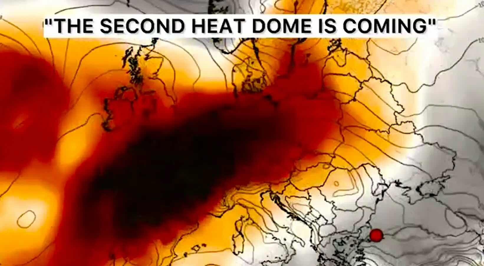
The event is being driven by a strong ridge of high pressure building northward from the Desert Southwest into the Intermountain West, Northern Rockies and Northern Plains. Inside the ridge, air sinks, compresses and warms. Clouds are suppressed, the ground receives intense sunshine and the same hot air mass remains trapped over the region.
This is the atmospheric structure commonly described as a heat dome. It does not create identical temperatures everywhere. Dry desert locations experience extreme air temperatures, while more humid parts of the Plains and Canadian Prairies may record lower thermometer readings but more dangerous heat index or humidex values.
July 11–15: the main heat dome timeline
Date
Main risk area
Expected conditions
Main hazard
Saturday, July 11
Great Basin, Utah, Nevada, Colorado, Wyoming, Montana, North Dakota, southern Saskatchewan and Manitoba
Widespread 95–107°F in the U.S.; 33–34°C in Regina, Saskatoon and Winnipeg
Rapid heat buildup
Sunday, July 12
Montana, Wyoming, North Dakota, western South Dakota, southern Saskatchewan and southern Manitoba
100–110°F, locally above 110°F in the U.S.; 36–38°C in parts of Canada
Peak extreme heat
Monday, July 13
Dakotas, Central Plains, Upper Midwest, southern Manitoba
Triple-digit heat persists; Winnipeg near 35°C and Bismarck near 104°F
Heat and warm nights
Tuesday–Wednesday, July 14–15
Rockies, Great Basin, Northern Plains and parts of the Upper Midwest
Some Canadian relief, but continued major heat across parts of the U.S.
Uneven cooldown
July 18–22
Northern and Central Plains, Rockies, Northern Great Basin and parts of the West
Lower overall intensity, but continued elevated risk of extreme heat
Lingering heat risk
United States forecast: where the heat will be most intense
The most exceptional temperatures are expected from eastern Montana into North Dakota, where Sunday afternoon values may exceed 110°F. The National Weather Service expects the core of the ridge to produce temperatures 15–25°F above the mid-July average.
Major to Extreme HeatRisk covers parts of Montana and Wyoming, with Extreme Heat Warnings also issued across sections of Utah, Colorado, Nevada and North Dakota. The combination of high daytime temperatures and unusually warm nights will increase cumulative heat stress.
Residents who are not acclimatized may be especially vulnerable. Many areas of the Northern Plains experienced near-normal or cooler conditions during June, so the abrupt transition to triple-digit heat will place additional strain on people, livestock and infrastructure.
Major U.S. locations: city-by-city forecast
Location
July 11
July 12
July 13
Main concern
Billings, Montana
107°F / 42°C
111°F / 44°C
100°F / 38°C
Extreme heat and fire weather
Bismarck, North Dakota
100°F / 38°C
104°F / 40°C
104°F / 40°C
Hot nights near 77°F
Denver, Colorado
98°F / 37°C
97°F / 36°C
98°F / 37°C
Persistent high-elevation heat
Las Vegas, Nevada
111°F / 44°C
109°F / 43°C
106°F / 41°C
Very hot nights near 88–89°F
Zion National Park, Utah
About 110°F / 43°C
About 109°F / 43°C
About 106°F / 41°C
Dangerous hiking conditions
Wasatch Back, Utah
Near 100°F / 38°C
Near 102°F / 39°C
Near 99°F / 37°C
Extreme Heat Warning
The Northern Rockies and Plains are the most anomalous part of this event. Desert locations regularly experience extreme summer heat, but temperatures near or above 110°F in Montana are far less common and could challenge daily, monthly or all-time records.
Canada heat warning: the dome crosses into the Prairies
Canada will not experience the same widespread 110°F air temperatures as Montana or Nevada, but the combination of heat and humidity could be equally dangerous in southern Saskatchewan and Manitoba.
Environment Canada has warned of a long-duration heat event beginning Saturday and continuing through the weekend. Areas along and south of the Trans-Canada Highway face particularly muggy conditions, with humidex values approaching 45.
The highest Canadian temperatures are expected Sunday, July 12. Southwestern Manitoba may reach 38°C, while Regina and Winnipeg are forecast near 36°C. Overnight temperatures will remain elevated, especially in Winnipeg, where Sunday night may stay close to 26°C.
Major Canadian locations: heat forecast and warnings
Location
July 11
July 12
July 13
Main concern
Winnipeg, Manitoba
34°C / 93°F
36°C / 97°F
35°C / 95°F
Humidex near 45
Brandon and Spruce Woods, Manitoba
33°C / 91°F
38°C / 100°F
35°C / 95°F
Orange heat warning
Regina, Saskatchewan
34°C / 93°F, humidex 42
36°C / 97°F
31°C / 88°F
Very high UV and heat stress
Saskatoon, Saskatchewan
33°C / 91°F, humidex 41
32°C / 90°F
26°C / 79°F
Relief begins Monday
Medicine Hat, Alberta
33–35°C / 91–95°F
33–35°C / 91–95°F
Near 32°C / 90°F
Heat warning through weekend
Calgary, Alberta
29°C / 84°F
28°C / 82°F
26°C / 79°F
Warm but outside the main core
Edmonton, Alberta
Near 24°C / 75°F
Near 23°C / 73°F
Near 24°C / 75°F
Not in the main heat dome core
The edge of the heat dome could produce severe storms
A heat dome does not mean every region stays dry. The northern and eastern edges of the ridge often become corridors for thunderstorms, damaging winds and flash flooding.
A slow-moving front is producing repeated thunderstorms from the Central and Southern Plains into the Ohio and Tennessee valleys. Areas from Missouri and Oklahoma toward Kentucky, Tennessee and the southern Appalachians face a combination of high humidity, strong thunderstorms and locally excessive rainfall.
In Canada, thunderstorms may develop near the edge of the Prairie heat. Hot, humid surface air can provide high instability, while an approaching front supplies lift and wind shear. The strongest storms could produce hail, damaging wind gusts and sudden heavy rain.
Montana and Wyoming: dry thunderstorms and gusty winds may increase wildfire danger.
Dakotas and Canadian Prairies: storms may form near the northern and eastern boundary of the ridge.
Central Plains: severe thunderstorms may develop where extreme heat meets cooler and more humid air.
Ohio and Tennessee valleys: repeated storms may cause flash flooding even where daytime heat is less extreme.
Wildfire risk rises as heat and drought overlap
Extreme temperatures accelerate evaporation from soil and vegetation. In areas already experiencing drought, the heat dome can rapidly increase the flammability of grass, brush and forest fuels.
Fire weather concerns are especially important in Montana, Wyoming, Utah, Nevada and the interior West. Billings is under a Fire Weather Watch on July 12 in addition to its Extreme Heat Warning.
Canada also faces a compound hazard. Heat can overlap with wildfire smoke, particularly across parts of Alberta, Saskatchewan and Manitoba. When heat and smoke occur together, public-health guidance recommends prioritizing cooling while keeping indoor air as clean as possible.
Why the nights may be more dangerous than the afternoons
The most damaging heat waves are often defined by their nighttime temperatures. When the air remains hot after sunset, the human body cannot fully recover from daytime heat stress.
Bismarck is forecast to remain near 77°F Sunday night. Winnipeg may stay near 26°C, or 79°F. Las Vegas may not fall below the upper 80s Fahrenheit.
Warm nights are particularly dangerous for people without air conditioning, older adults, infants, pregnant people, outdoor workers and anyone with cardiovascular, respiratory or kidney disease.
When will the heat dome weaken?
The first meaningful relief should arrive unevenly. Saskatchewan and Manitoba are likely to cool first as the hottest air shifts east and a front crosses the Prairies.
Region
Peak heat
First likely relief
Forecast confidence
Southern Saskatchewan
July 11–12
Monday, July 13, in Saskatoon; July 14 in Regina
High
Southern Manitoba
July 12–13
Temperatures begin easing from July 14–15
High
Montana and North Dakota
July 12–13
Partial relief from July 14–15
Moderate-high
Colorado and central Rockies
July 11–15
Only modest cooling through midweek
Moderate
Great Basin and interior West
July 11–15
Elevated heat may persist into July 18–22
Moderate
Eastern United States
Earlier heat through July 11
Clouds, rain and a backdoor front bring relief during the weekend
Moderate-high
NOAA’s week-two outlook indicates that the ridge should gradually weaken after July 18. However, a moderate risk of extreme heat remains across portions of the Northern and Central Plains, Rockies and Northern Great Basin on July 18–19, with a broader slight-risk area continuing through July 22.
Heat dome meets summer travel, agriculture and major events
The heat wave arrives during one of the busiest travel periods of the North American summer and during the knockout stage of the 2026 World Cup. Airports, highways, outdoor fan zones and public-transport systems may face higher demand and heat-related disruptions.
Agriculture is also exposed. Cattle and other livestock need continuous access to shade, ventilation and clean water. Crops can experience rapid moisture loss, while hot and windy conditions increase fire risk during harvesting and field work.
Power demand is likely to rise sharply as households and businesses use more air conditioning. Utilities may ask customers to reduce non-essential electricity consumption during the late afternoon and early evening peak.
Track the heat dome in Weather Forecaster
The maximum temperature is only one part of the danger. Weather Forecaster provides hourly temperature, feels-like conditions, thunderstorms, rainfall, wind, air quality, fire maps and local weather changes for your location.
Check the forecast before travelling, hiking, attending outdoor events, working outside or driving through wildfire-prone areas.
Reschedule outdoor work and exercise. Use early morning hours and avoid the hottest period of the afternoon.
Drink water regularly. Do not wait until you feel thirsty, especially during physical work.
Use air-conditioned spaces. Libraries, malls, community centres and cooling centres may be safer than an overheated home.
Check on vulnerable people. Older neighbours, people living alone and those without cooling may need direct assistance.
Never leave children or animals in vehicles. A parked vehicle can become deadly within minutes.
Protect outdoor animals. Provide permanent shade, ventilation and plenty of fresh water.
Watch for heat illness. Confusion, fainting, hot dry skin or loss of consciousness may indicate heat stroke and require emergency help.
Monitor smoke and air quality. During wildfire smoke, keep indoor air clean while prioritizing access to a cool environment.
Main forecast message
The July 2026 North American heat dome will be a cross-border event. The most exceptional air temperatures are expected in the western and north-central United States, while the greatest humidex stress will spread across the Canadian Prairies.
The critical period is July 11–15. Billings could reach 111°F, Bismarck 104°F and parts of southern Manitoba 38°C. Winnipeg may experience humidex values near 45 and a Sunday night that remains close to 26°C.
Relief will arrive first in Saskatchewan and Manitoba, but the pattern may not disappear completely. Elevated heat risk could persist across the Rockies, Great Basin and Northern Plains through July 18–22.
FAQ: U.S. and Canada heat dome forecast
Where will the heat dome be strongest?
The strongest U.S. heat is expected across Montana, Wyoming, North Dakota, Utah, Nevada and Colorado. In Canada, the main risk zone is southern Saskatchewan, southern Manitoba and southeastern Alberta.
When is the hottest day?
Sunday, July 12, is expected to be the hottest day across central and eastern Montana, North Dakota, southern Saskatchewan and southern Manitoba.
How hot will Billings get?
The National Weather Service forecasts approximately 107°F on Saturday and 111°F on Sunday, followed by around 100°F Monday.
How hot will Winnipeg get?
Winnipeg is forecast near 34°C Saturday, 36°C Sunday and 35°C Monday. Humidex values may approach 45, and Sunday night may remain near 26°C.
What is the difference between heat index and humidex?
Both describe how hot conditions feel when humidity is included. The heat index is commonly used in the United States, while humidex is used in Canada.
When will the heat wave end?
Saskatchewan and Manitoba should begin cooling between July 13 and 15. Montana and North Dakota may see partial relief around July 14–15, while elevated heat risk could persist in parts of the western and central United States through July 22.
Will the heat dome cause thunderstorms?
Thunderstorms may develop along the northern and eastern edges of the heat dome. Some could produce damaging winds, hail, heavy rain or dry lightning that increases wildfire risk.
Which Canadian cities are outside the main heat core?
Calgary will be warm but less extreme, near 28–29°C over the weekend. Edmonton is forecast closer to seasonal levels in the low to mid-20s Celsius.
The Founder and Chief Meteorologist at Pogodnik.com. With over 15 years of operational experience in synoptic analysis and climate forecasting, he specializes in storm tracking, magnetic storms, and atmospheric dynamics. A recognized expert in Ukraine’s meteorological sector, he maintains strategic collaborations with global agencies, including NOAA and ECMWF, to ensure high-precision data integration. His analytical reviews and scientific contributions are regularly featured in leading media outlets dedicated to weather science and environmental trends.