Flood risk • New Zealand • Europe • France • Ukraine • Iberia • EFAS • Copernicus EMS
Flood Outlook (mid-February 2026): New Zealand’s North Island under Red Warning, Europe flags critical French basins, Iberia remains on edge
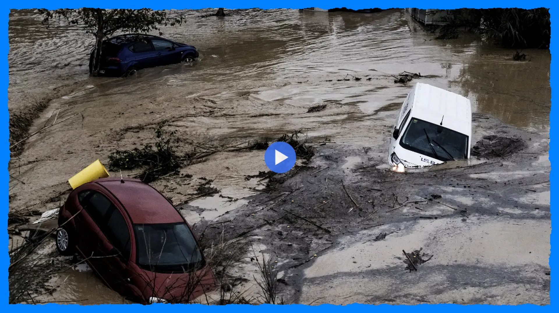
WELLINGTON/PARIS/LISBON, mid-February 2026. Flood risk is not just about what falls from the sky today, it is about what the ground can still absorb tomorrow. After weeks of storm activity in parts of the world, saturated soils and already swollen rivers are turning fresh rainfall into fast runoff. Here is the flood outlook for three hotspots where official alerts signaled elevated danger: New Zealand’s North Island, parts of Europe highlighted by EFAS/GDACS, and storm-battered Iberia still dealing with the legacy of Storm Kristin.
Flash Flood: New Zealand’s MetService issued a Red Heavy Rain Warning for Manawatū, Rangitīkei and Ruapehu Districts, with life-threatening flooding, slips and river surges expected overnight into 16 February, and a pre-emptive state of emergency declared for the Horizons Region. In Europe, EFAS/GDACS flagged the highest threshold (3/3) on key French river basins Gironde–Adour–Dordogne and Garonne–Tarn–Lot, and a warning level 2/3 for Ukraine’s Tysa basin in Zakarpattia. Iberia remains highly vulnerable as Copernicus EMS mapped Storm Kristin impacts and forecast river overflow risk in Andalusia, while Portugal continued to report high river flows and flood sensitivity after repeated storms.
1) New Zealand (North Island): Red Warning, saturated catchments, rapid river response
New Zealand’s flood setup is classic and dangerous: a deep low-pressure system feeding heavy rain into a landscape that has little “storage” left. MetService issued a Red Heavy Rain Warning for parts of the Manawatū, Rangitīkei and Ruapehu Districts, warning of life-threatening flooding, slips, and dangerous river surges overnight into 16 February. The alert was issued in consultation with regional authorities, and a pre-emptive state of emergency was declared for the Horizons Region.
Local briefings pointed to rainfall totals capable of pushing rivers quickly. Horizons Regional Council communications referenced expected accumulations on the order of roughly 120–170 mm in the warning window, with peak rates around 10–20 mm per hour overnight, a combination that can overwhelm small streams first and then drive a larger main-stem response hours later.
Flood outlook: Highest risk is overnight into the morning of 16 February, especially in low-lying floodplains, near fast-reacting tributaries, and where previous rain has already destabilized slopes. Even if rain intensity eases later, rivers can continue rising for hours and remain hazardous well after the heaviest burst.
What to watch: rapid rises on monitored gauges, road closures where water crosses state highways, and any shift from “warning” to “evacuation advice” from local civil defence. This event is also prone to isolating communities as slips and flooded roads cut access.
2) Europe (EFAS/GDACS): France’s critical thresholds, Ukraine’s Tysa basin on alert
Across Europe, the flood conversation in mid-February focused less on a single headline storm and more on river-basin thresholds. EFAS reporting referenced by GDACS highlighted the highest threshold level (3/3) for two major French basin groupings: Gironde–Adour–Dordogne and Garonne–Tarn–Lot. These are river systems where large catchments, saturated ground and repeated rain can turn a new pulse of precipitation into broad-area flooding, including impacts downstream far from where rain is falling.
EFAS also noted a warning level 2/3 for Ukraine’s Tysa (Tisza) basin in the Zakarpattia region. In the Carpathian headwaters, flood sensitivity often spikes when precipitation stacks onto wet ground or combines with thaw episodes. A “2/3” signal is a strong prompt for local authorities and river communities to prepare for fast changes in water levels and localized flooding of lowlands.
Flood outlook: In France, the critical-basins signal suggests elevated probability of river levels approaching or exceeding impactful stages in vulnerable stretches, especially where previous storms left high baseflow. In Ukraine’s Tysa basin, risk is focused on rapid rises and local overflow in floodplains if rainfall persists, with attention to tributary catchments that respond quickly.
What to watch: official hydrological bulletins and gauge trends, renewed heavy-rain episodes over upstream basins, and any coincident snowmelt pulses that can accelerate runoff in mountain-fed rivers.
3) Iberia (Portugal/Spain): Storm legacy, mapped impacts, and a “primed” landscape
Iberia enters this period with a clear vulnerability marker: Copernicus Emergency Management Service activated rapid mapping for Storm Kristin and related flooding, describing significant impacts in central Portugal and the forecast risk of river overflow in Andalusia’s Guadalquivir basin. The Copernicus assessment noted that even after the main rain front passed, further rainfall in the following 48 hours could maintain and increase river water levels, with flooding affecting buildings and infrastructure in floodplains, including urban areas.
Separately, ongoing reporting from Portugal emphasized how repeated storms had pushed rivers into prolonged high-flow conditions, with flooding sensitivity elevated around major basins such as the Mondego and others where levees, dams and saturated catchments become stress points during any renewed rain.
Flood outlook: The main hazard is not only fresh rainfall but the persistence of high baseflow and weakened defences after repeated storm cycles. In Portugal, river systems may stay “high and nervous” for days, meaning smaller additional rain pulses can still trigger new flooding. In Spain, the Guadalquivir floodplain remains a key watch area when upstream catchments stay wet and further rain arrives.
What to watch: dam and levee advisories, renewed heavy-rain warnings in upstream zones, and localized flash-flood risk in urban corridors where drainage is already compromised.
How to read these alerts without overreacting
In all three regions, the common thread is saturation. When soils are already wet and rivers already high, the flood “trigger” becomes smaller and the response faster. The safest approach is to follow the official hydrological and civil-defence updates, treat Red Warnings as action prompts, and plan for disruption even if your exact location does not see the heaviest rainfall.
The Founder and Chief Meteorologist at Pogodnik.com. With over 15 years of operational experience in synoptic analysis and climate forecasting, he specializes in storm tracking, magnetic storms, and atmospheric dynamics. A recognized expert in Ukraine’s meteorological sector, he maintains strategic collaborations with global agencies, including NOAA and ECMWF, to ensure high-precision data integration. His analytical reviews and scientific contributions are regularly featured in leading media outlets dedicated to weather science and environmental trends.