Travel chaos threat: Orange Level 5 storms target Gauteng as South Africa braces for severe weather
Severe Weather: South Africa’s Weather Service has issued an Orange Level 5 warning for Gauteng and neighbouring regions as widespread severe thunderstorms, flooding and damaging winds threaten travel, infrastructure and public safety on January 4, 2026.
Severe weather alert raises concern for travellers
South Africa is facing a high-impact weather setup on January 4, 2026, with forecasters warning that severe thunderstorms could significantly disrupt travel across key economic and transport corridors. An Orange Level 5 impact-based warning has been issued for Gauteng, placing the country’s most densely populated province under heightened alert as intense rainfall, strong winds and frequent lightning are expected.
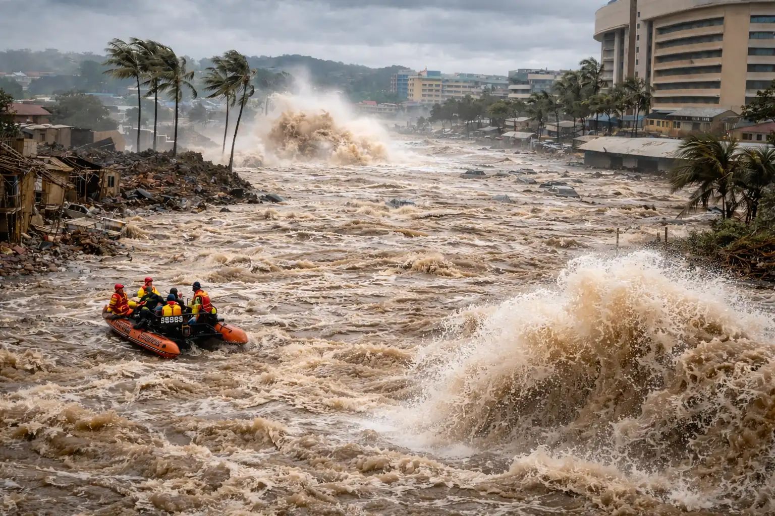
The warning comes as widespread showers continue to spread from the eastern parts of the country into the central interior, creating conditions favourable for flooding of susceptible roads, settlements and low-lying bridges. Weather officials stress that this is a disruptive system rather than an isolated storm, increasing the risk for prolonged impacts during peak travel periods.
Orange Level 5 warning explained and areas at risk
The Orange Level 5 warning highlights the potential for high-impact severe thunderstorms capable of causing flooding and infrastructure damage. In addition to Gauteng, the alert extends across eastern parts of the Free State, eastern sections of the North West, western areas of Limpopo and the Highveld of Mpumalanga. These regions are expected to experience persistent and widespread rainfall rather than short-lived convective downpours.
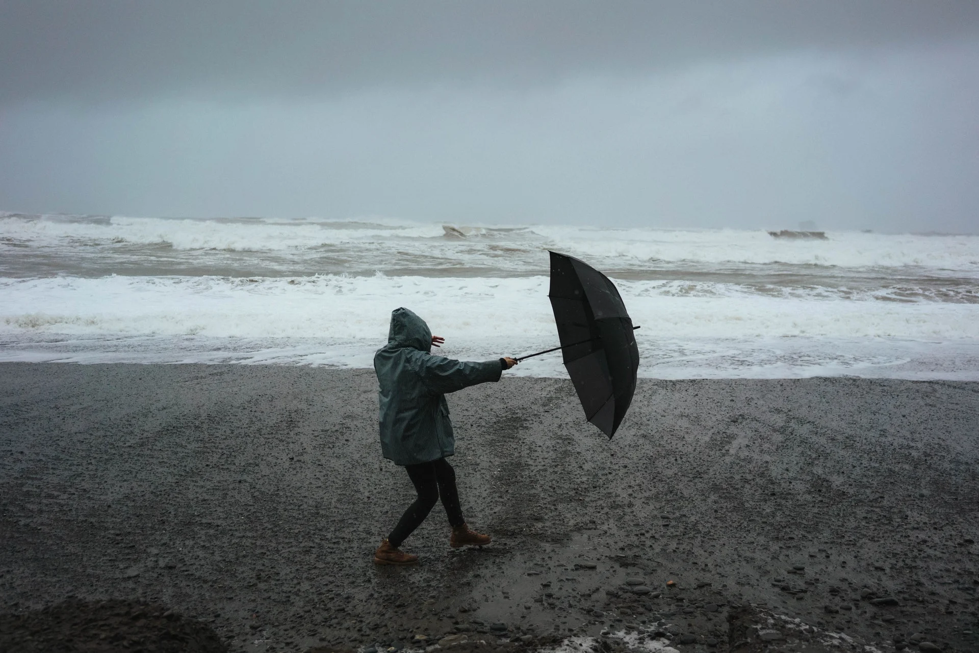
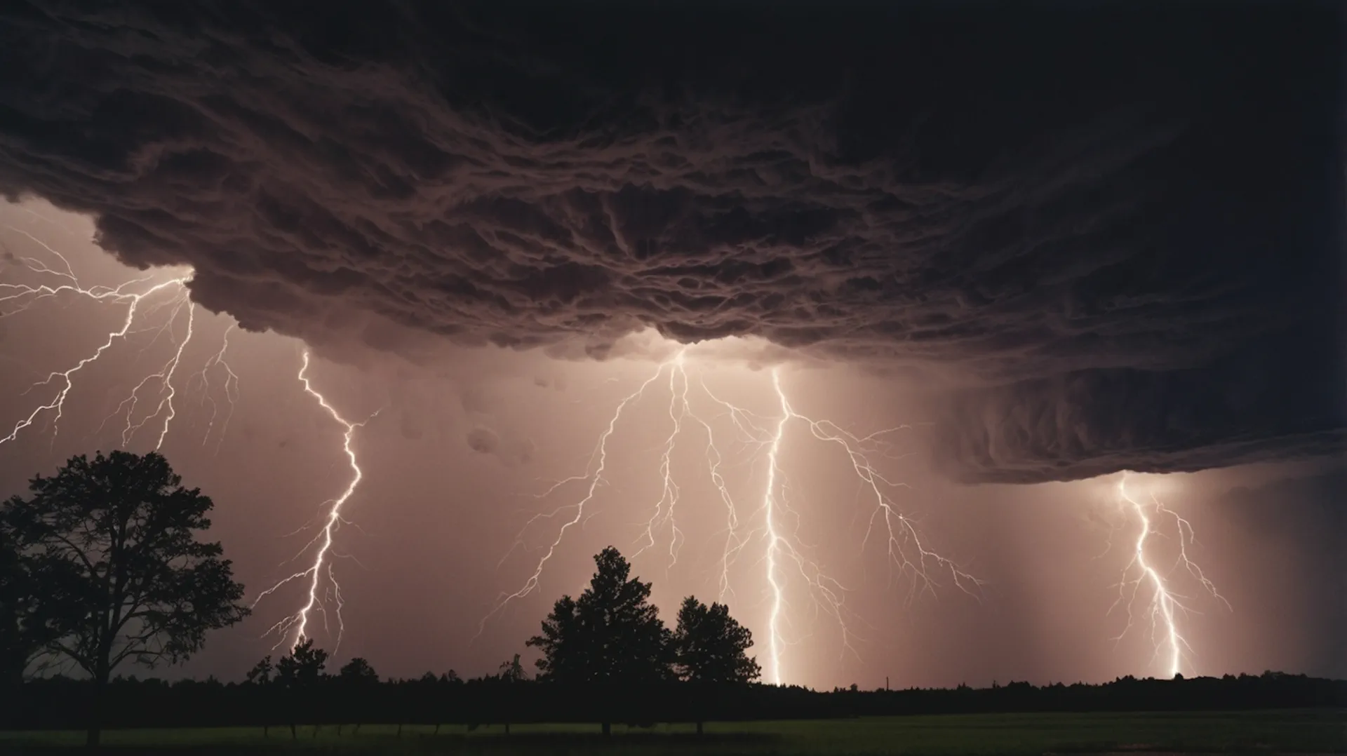
Forecasters warn that strong and locally damaging winds may accompany the heaviest storms, raising the risk of fallen trees, power disruptions and dangerous driving conditions. Excessive lightning also remains a concern, particularly for outdoor activities and vulnerable infrastructure.
Yellow Level 2 warning widens the threat footprint
Beyond the core Orange Level 5 zone, a Yellow Level 2 warning has been issued for several surrounding regions. These include the extreme north-eastern parts of the Northern Cape, western areas of the Free State and North West, western KwaZulu-Natal and sections along the escarpment of Mpumalanga and Limpopo.
While impacts in these areas are expected to be more localised, forecasters caution that flooding of roads and settlements and isolated damage to infrastructure remain possible, especially where storms repeatedly track over the same locations.
Fire danger adds a contrasting hazard
In a stark contrast to the flood risk elsewhere, extremely high fire danger conditions are forecast over parts of the Northern Cape and the Western Cape. The Dawid Kruiper and Kai Garib municipalities, along with the West Coast district of the Western Cape, are expected to face dry, windy conditions that could allow fires to spread rapidly if ignited.
This juxtaposition of flood and fire risk underscores the complex and highly variable weather pattern affecting South Africa as the country moves deeper into the summer season.
City-by-city outlook for January 4
In Pretoria and Johannesburg, cloudy conditions with widespread showers and thundershowers are expected throughout the day. Temperatures will remain relatively mild, with minimums in the mid-teens and daytime highs near 26°C, but wet roads and reduced visibility may complicate commuting.
Vereeniging is also forecast to experience widespread showers and thunderstorms, while Mahikeng and Bloemfontein are expected to see windy conditions combined with frequent storm activity. In these areas, strong gusts may exacerbate the impact of heavy rainfall.
Farther north, Polokwane and Mbombela are forecast to see scattered showers and thunderstorms, while Upington stands out with very hot conditions, reaching up to 38°C, combined with isolated storms and strong winds.
Along the coast, Cape Town is expected to remain fine but windy, with strong southerly to south-easterly winds developing during the afternoon and a very high UVB sunburn index. Durban, Richards Bay and Pietermaritzburg may see isolated showers and thunderstorms, with fog possible in the early morning hours in inland areas.
Why flooding risk is elevated
Meteorologists point to a combination of deep atmospheric moisture, slow-moving storm cells and weak steering winds as the primary drivers of the elevated flood risk. When storms move slowly or repeatedly affect the same area, rainfall totals can accumulate quickly, overwhelming urban drainage systems and small river catchments.
In Gauteng, extensive urban development further amplifies this risk, as paved surfaces limit water absorption and increase runoff into already stressed stormwater systems.
Travel and safety guidance
Weather officials urge travellers to plan journeys carefully, avoid flooded roads and remain indoors during severe thunderstorms where possible. Securing loose outdoor objects, monitoring official alerts and allowing extra travel time are strongly advised, particularly in areas under the Orange Level 5 warning.
As conditions may change rapidly, authorities emphasise the importance of staying informed through updated forecasts, which are scheduled to be revised again in the early morning hours.
With an Orange Level 5 warning in effect and widespread severe thunderstorms forecast, January 4 is shaping up to be a challenging day for travel and outdoor activity across large parts of South Africa. Gauteng and surrounding provinces face the greatest risk of disruption, while contrasting fire danger in the west highlights the complexity of the current weather pattern.
Travellers and residents alike are advised to treat the warnings seriously as South Africa navigates another high-impact summer weather event.
The Founder and Chief Meteorologist at Pogodnik.com. With over 15 years of operational experience in synoptic analysis and climate forecasting, he specializes in storm tracking, magnetic storms, and atmospheric dynamics. A recognized expert in Ukraine’s meteorological sector, he maintains strategic collaborations with global agencies, including NOAA and ECMWF, to ensure high-precision data integration. His analytical reviews and scientific contributions are regularly featured in leading media outlets dedicated to weather science and environmental trends.