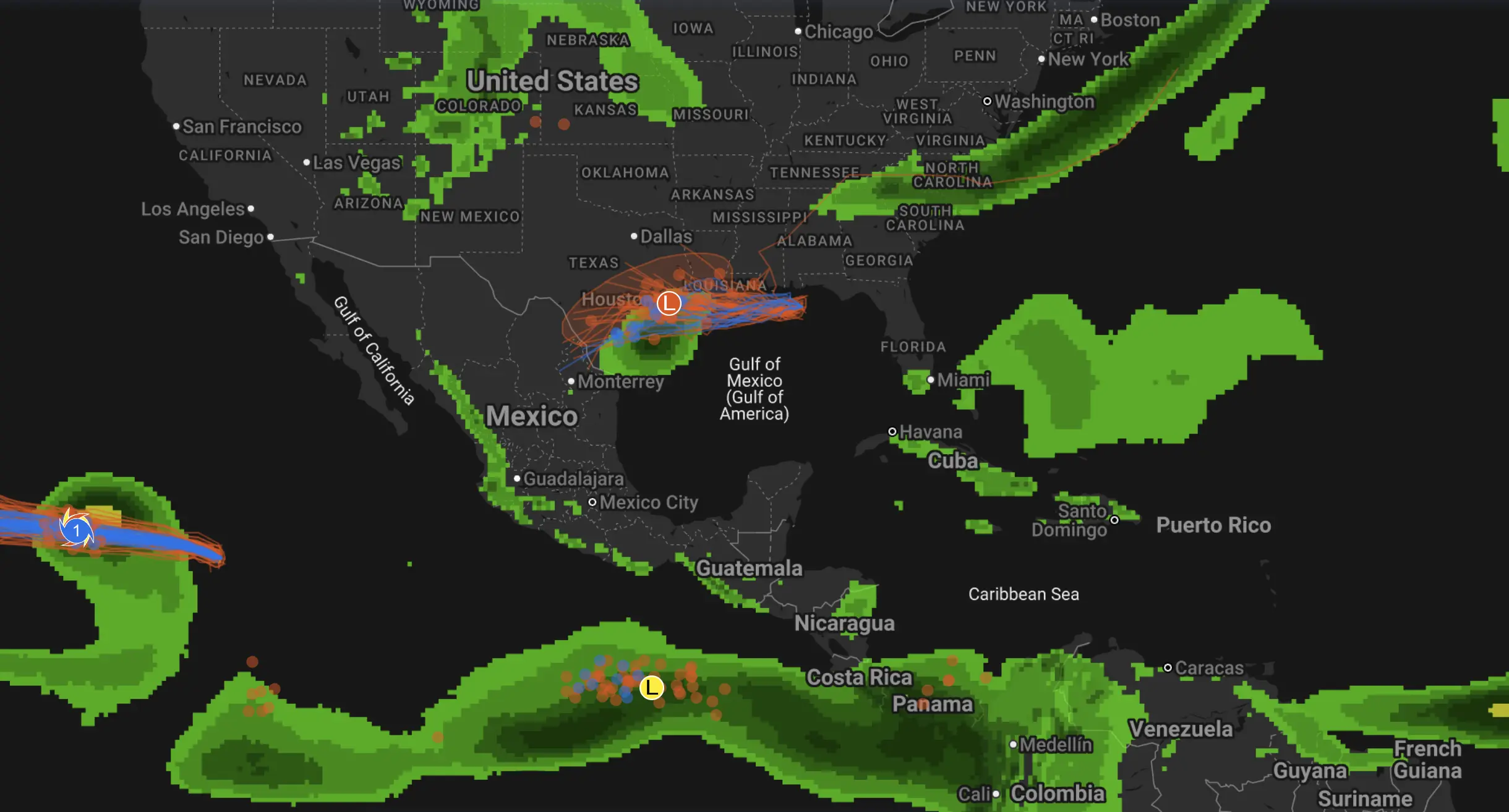
Hurricane Priscilla intensifies off Mexico’s Pacific coast — expected to bring torrential rain, dangerous surf, and hurricane-force winds
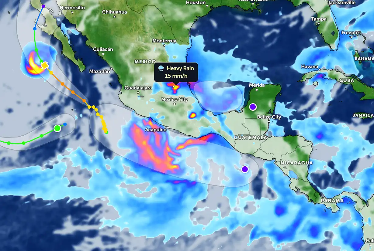
Hurricane Priscilla continues to strengthen as it churns off Mexico’s Pacific coastline, moving north-northwest and threatening coastal states from Guerrero to Jalisco with life-threatening rain and powerful winds. According to the latest update from the National Hurricane Center (NHC), Priscilla is maintaining maximum sustained winds near 90 knots (165 km/h), with higher gusts up to 200 km/h. Central pressure is estimated around 975 hPa, confirming a solid Category 2 hurricane on the Saffir–Simpson scale.
Satellite data and high-resolution rainfall maps show widespread heavy rain bands extending across Acapulco, Lázaro Cárdenas, and Manzanillo, with rainfall intensities of up to 15 mm/h and localized totals surpassing 200 mm in 12 hours. These torrential rains are already triggering flash floods and landslides in mountainous terrain along the Sierra Madre del Sur.
Hurricane #Priscilla is looking fine this evening 🥵#wxtwitter pic.twitter.com/elbOLFOzWX
— Pez (@PezexWx) October 5, 2025
Priscilla’s outer rainbands are spreading northward, bringing heavy showers to the central Mexican plateau, including parts of Mexico City and Guadalajara, while its core remains over the warm waters of the Pacific. The storm‘s broad circulation is generating rough surf and strong coastal currents, making navigation dangerous along the southwestern coast.
Based on spaghetti models and the NHC ensemble forecast, Priscilla is expected to continue tracking north-northwest, paralleling the coastline. The storm may make its closest approach to the coast of Colima and southern Jalisco late Thursday or early Friday before gradually weakening as it encounters cooler waters near the southern Baja California Peninsula. Most models agree the system will begin to decay into a tropical storm by late October 10–11, but residual moisture will linger over western Mexico, prolonging heavy rainfall episodes through the weekend.
Forecasters warn that Priscilla’s rainbands could repeatedly pass over the same areas — a “training convection” pattern — significantly increasing the risk of flash flooding and river overflows. Coastal residents are urged to stay alert for emergency advisories from Protección Civil México and CONAGUA and to avoid travel in flood-prone zones. Marine conditions remain hazardous, with waves expected to exceed 7 meters in exposed areas.
Meteorologists highlight that Priscilla’s current trajectory keeps the core offshore, but even without a direct landfall, its impacts will be widespread and potentially severe along Mexico’s southwestern coast.
Ads Free Weather Forecaster App