America’s Weather Goes Off the Rails: Tornado Threat in the East, Record Heat in the West, Arctic Cold Behind It
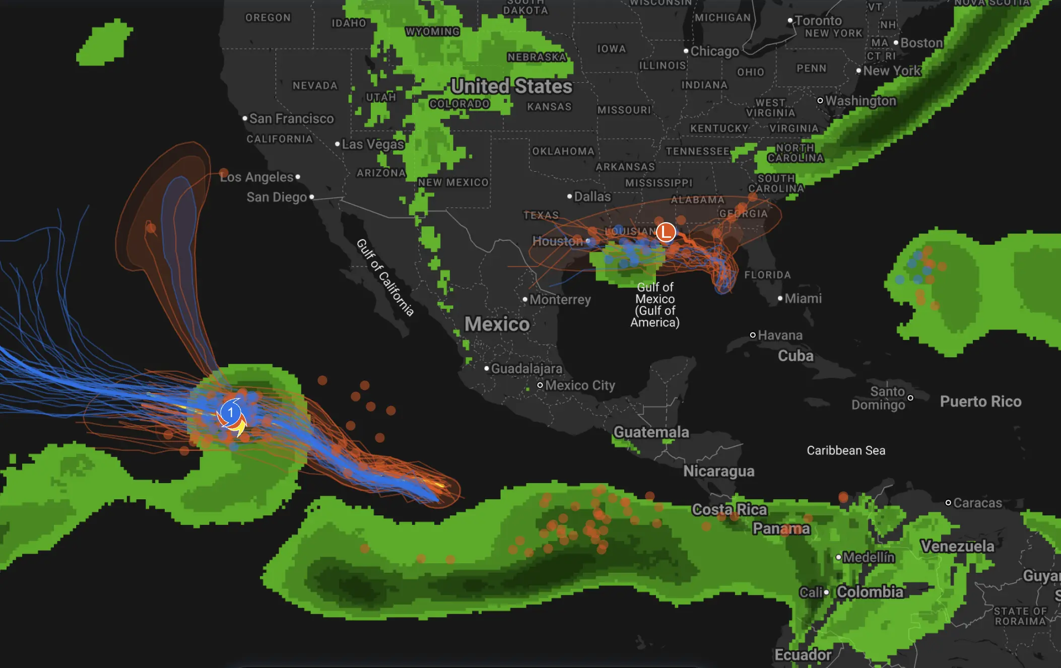
March is not waiting for spring to ease in gently. Across the United States, the atmosphere has flipped into a high-contrast pattern that looks more like peak severe season in one region and midsummer in another. A rare Level 4 out of 5 severe-weather risk has been posted for parts of the Mid-Atlantic, including the Washington area, with the potential for damaging winds, large hail and strong tornadoes. At the same time, the West is under an unusually intense heat dome, with temperatures running 20 to 30 degrees Fahrenheit above average and some desert locations pushing toward or above 100°F shockingly early in the season.
The reason for this split is not mysterious, but it is dramatic. The U.S. jet stream is highly amplified right now. That means it is bending sharply northward in the West, where a strong ridge of high pressure is trapping and compressing warm air, and diving southward in the central and eastern United States, where it is helping drag colder air south and energize storm systems. That same amplified flow is one reason meteorologists are seeing such a volatile mix: blizzard conditions and heavy snow near the Great Lakes, severe thunderstorms and tornado risk in the East, and extreme heat across the Southwest and West Coast.
The tornado threat is being driven by a classic severe-weather setup. Warm, moist air from the Gulf of Mexico is surging north into the eastern half of the country, while a powerful upper-level jet and an advancing cold front are providing the wind shear and lift needed for rotating thunderstorms. That is why forecasters are warning not just about ordinary spring storms, but about the potential for several strong tornadoes in an area where that level of risk is unusual for March. The Washington Post noted that some storms could become long-track tornado producers if the atmosphere destabilizes enough between rounds of rain and storms.
At the same time, the cold is not disappearing — it is simply shifting. Behind the storm system, polar air is expected to surge back southward, driving temperatures 10 to 25°C below average across parts of the Midwest and East. In other words, this is not a clean transition into spring. It is a clash zone: warm-sector instability ahead of the front, then a sharp cold shot behind it. That is exactly the kind of contrast that can make March weather in North America so dangerous.
So where does the polar vortex split fit into this? It matters, but not in the oversimplified way social media often presents it. A sudden stratospheric warming disrupts the stratospheric polar vortex by weakening or even reversing the usual westerly winds aloft. NOAA explains that these events can alter the broader circulation pattern and increase the odds of Arctic air intrusions into North America later on. That helps explain why late-winter and early-spring cold outbreaks can keep reappearing even while parts of the country are turning very warm. But the polar vortex split does not directly create a tornado outbreak over Washington or a heat dome over California on its own. The immediate drivers are the jet stream pattern, pressure systems, fronts, moisture return, and local instability.
And what about El Niño? This part needs to be said clearly: El Niño has not started yet. NOAA’s Climate Prediction Center says La Niña was still present in February, with a transition to ENSO-neutral expected soon, and an El Niño watch in place because El Niño is likely to emerge in June to August 2026, not now. That means it is not accurate to say today’s U.S. weather extremes are being caused by “the start of El Niño.” At most, the tropical Pacific is in transition, and that may matter more for seasonal background patterns later in the year than for today’s day-to-day storm outbreak and heat spike.
What matters right now is that the atmosphere is loaded at both ends. In the East, residents need to treat the tornado threat seriously, especially in places not used to frequent severe-weather days at this level. In the West, the record heat is not just a curiosity — it is accelerating snowmelt, increasing wildfire risk and setting up water-supply concerns later on. AP reported that this combination of heat, cold, snow, severe storms and wildfire danger all hitting at once is highly unusual even by U.S. spring standards.
The Founder and Chief Meteorologist at Pogodnik.com. With over 15 years of operational experience in synoptic analysis and climate forecasting, he specializes in storm tracking, magnetic storms, and atmospheric dynamics. A recognized expert in Ukraine’s meteorological sector, he maintains strategic collaborations with global agencies, including NOAA and ECMWF, to ensure high-precision data integration. His analytical reviews and scientific contributions are regularly featured in leading media outlets dedicated to weather science and environmental trends.