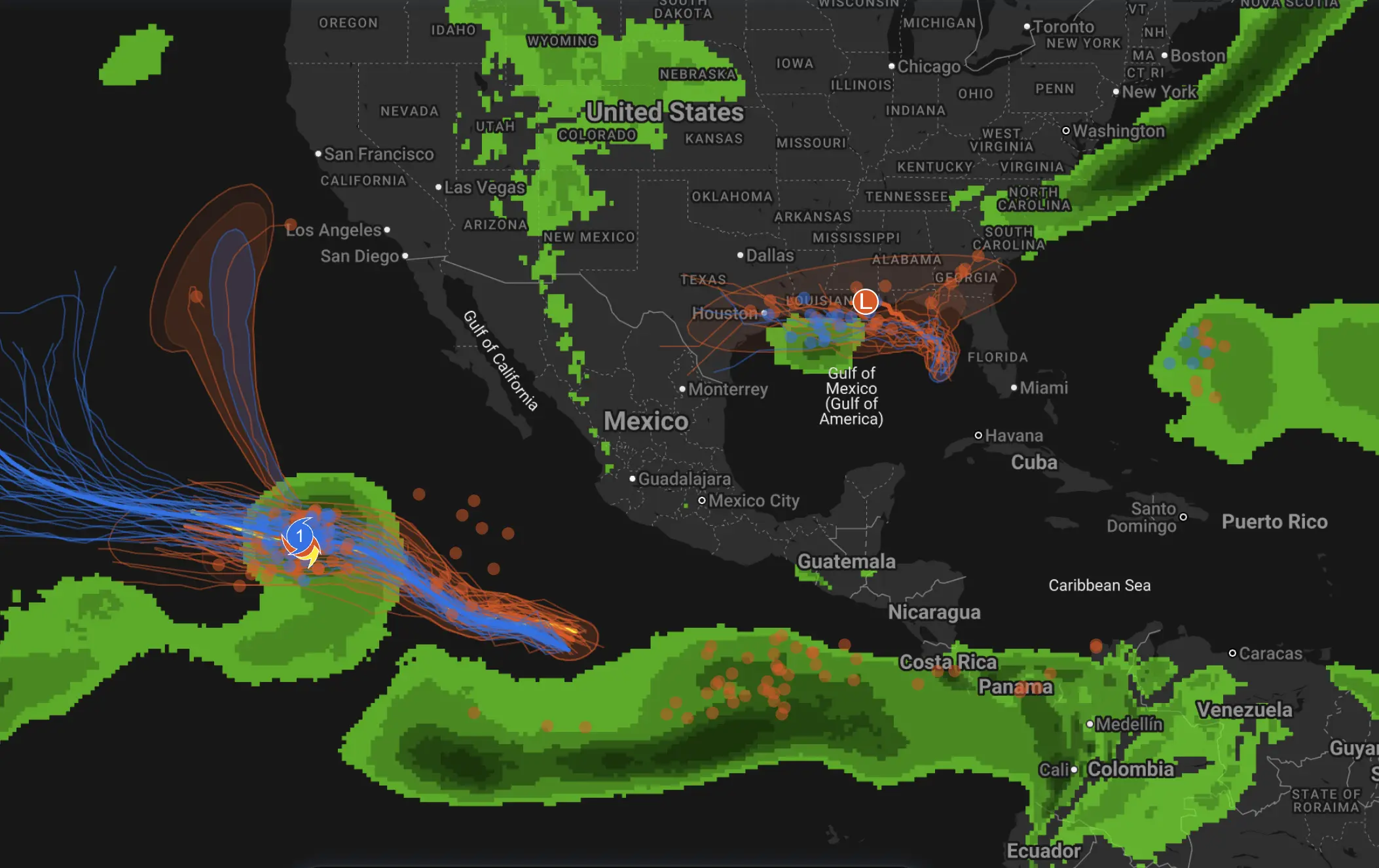
Thanksgiving Weekend Weather Outlook – U.S. & Canada
A strong early‐winter signal
As holiday travel ramps up, weather conditions are rapidly shifting across North America. A powerful combination is emerging: cold Arctic air descending from western Canada, and a developing storm system set to spread from the northern Plains into the Upper Midwest. This dynamic is being driven by a weakening polar circulation aloft and an already active winter pattern—meaning this Thanksgiving may be one of the more unsettled in recent years.
Northern Plains & Upper Midwest (North Dakota, Minnesota, Wisconsin)
Tuesday into Wednesday: A developing low‐pressure system will move northeast from the central Plains into Minnesota and Wisconsin. It will pull cold air behind it and wrap in moisture from the Great Lakes region. Impacts expected:
Snow accumulation of 6+ inches (15 cm or more) is possible in central Minnesota and northeastern North Dakota.
Strong winds and blowing snow may significantly reduce visibility, creating hazardous travel conditions just ahead of the holiday weekend.
Temperatures will fall below freezing late Tuesday, and with overnight lows likely in the teens (°F), ice formation on untreated roads is a real risk.
For travellers heading into this region or through it, consider leaving extra time, checking road conditions, and being prepared for winter‐road challenges.
Great Lakes & Interior Northeast
By Thanksgiving Day, cold air surging in will bring highs only in the 30s (°F) in many areas around the Great Lakes. Wind chill values may dip into the teens. Snow drift concerns: In zones where lake‐effect bands develop (especially downwind of Lake Michigan and Lake Erie), brief but intense bursts of snow and gusting winds may create patchy white‐out conditions on key routes. If your plans will take you across I-90, I-94 or I-80 corridors, keep a sharp eye on evolving conditions.
Central & Southern U.S. (Plains into Texas and the Southeast)
While the heaviest snow threat sits further north, the central and southern U.S. are not spared:
The storm system tapping Gulf moisture could bring heavy rain and thunderstorms along the Interstate 30 corridor (Dallas toward Little Rock).
As cold air follows, a transition from rain into snow and sleet is possible by late Wednesday, especially along the northern edge of the system.
In Texas and the southeastern states, the nighttime cold could drive frost, freeze conditions, and slick travel surfaces despite daytime highs in the 40s–50s°F.
Holiday travel through this region will face two hazards: precipitation/icing and cold‐air surges.
Western Canada & Northern U.S. Rockies
Behind the advancing cold, western Canada will see the build-up of a colder air mass, which for early‐winter standards is significant. Travel to mountain resorts and through high passes in the Rockies should anticipate early winter‐type conditions: snow on elevated routes, slick roads, and gusty winds. Those headed to ski destinations or mountain towns this holiday week are advised to check high‐mountain forecasts and drive prepared for winter tyres or chains.
Key Takeaways for Holiday Travellers
Across northern U.S. and southern Canada: expect a real winter feel, not a “late autumn”. Snow, wind, and plunging temperatures will affect travel.
For the Great Lakes region and beyond: Roads, bridges and airport runways may become snow/ice‐hindered; leave extra time.
Southern and southeastern travel: Don’t assume “warm holiday weather”—rain, sleet and freezing surfaces are credible risks.
Mountain and western destinations: This week will likely see the start of winter‐driven travel hazards, even if overall conditions remain better than storm peaks further east.
Thanksgiving 2025 is shaping up as more than just a typical holiday weekend—it’s likely a weather turning point. With a strong Arctic push meeting a low pressure system, a broad swath of North America is at risk of encountering winter’s first meaningful outbreak. If you’re traveling, plan ahead, monitor forecasts, and factor in extra time for weather‐related disruption.
Safe travels, and stay alert to the changing skies.
The Founder and Chief Meteorologist at Pogodnik.com. With over 15 years of operational experience in synoptic analysis and climate forecasting, he specializes in storm tracking, magnetic storms, and atmospheric dynamics. A recognized expert in Ukraine’s meteorological sector, he maintains strategic collaborations with global agencies, including NOAA and ECMWF, to ensure high-precision data integration. His analytical reviews and scientific contributions are regularly featured in leading media outlets dedicated to weather science and environmental trends.