Stormy Night in Australia: Tornadoes and Tens of Thousands Without Power
Melbourne / Brisbane, October 27, 2025
A series of powerful thunderstorms hit southeastern Australia, bringing destruction, power outages, and a rare occurrence for the region – a possible tornado that moved through Melbourne’s western suburbs.
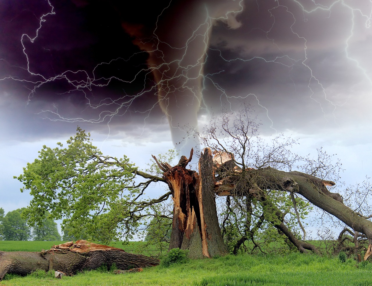
On Sunday afternoon and evening (October 26 local time), an extended line of thunderstorms formed over Victoria and southeast Queensland, associated with an active tropospheric front and a moist marine flow from the Tasman Sea. According to the Bureau of Meteorology (BOM), localized vortices and squalls reached 100 km/h, and hail exceeded 5 cm in diameter in parts of Brisbane.
A confirmed weak tornado occurred yesterday (26/10/25) across Werribee and Hoppers Crossing VIC Australia, likely the result of a low-topped supercell in a high shear environment.#tornado #melbournetornado pic.twitter.com/J0YIRVdwm8
— Trent Moore – Southeast Storm Media (@SE_STORMEDIA) October 27, 2025
Timeline of Events
By Sunday afternoon, heavy rainfall accompanied by squally winds began in western Victoria. Within hours, the storm line moved through Melbourne’s western suburbs—Werribee, Hoppers Crossing, Newport—where witnesses reported a “tornado-like” vortex. One local resident, Eleanor Jewers, said the wind literally “blew the roof off the bedroom,” and that around her home, “everything looked like a war zone.”
By 5:00 PM local time, Powercor and Citipower had recorded more than 25,000 power outages in Victoria, primarily in Melbourne’s western suburbs and along the coast. According to VicSES, 395 calls were received, 215 of which were for building damage and 80 for fallen trees. City streets in Newport were partially flooded, with water reaching storefronts.
Meanwhile, further north in Queensland, a thunderstorm caused even more widespread outages, leaving up to 60,000 homes without power. In Brisbane, strong gusts of wind tore a house off its foundation in the West End neighborhood, and lightning set a tree on fire in a yard in the suburb of Moorooka. Fans and players had to be evacuated at Suncorp Stadium during the Samoa-Tonga match, and play at the AFLW Grand Final in Melbourne was suspended due to thunderstorms.
Residential property was also damaged: lightning caused a fire in a two-story house in the northeastern suburb of Templestowe, where three people were evacuated, and 34 fire crews were called in to extinguish the fire.
Causes: A Forecaster’s View
As a meteorologist, I note that the situation is typical for spring storms in Australia, but anomalous in scale. A deep low-pressure zone formed over the eastern part of the continent, fueled by a warm and moist northeasterly flow from the Coral Sea. A powerful jet stream operated at high altitudes, providing significant wind shear—a key ingredient for mesocyclones and tornadoes.
The upper atmosphere over Victoria was cold, while surface temperatures reached 28°C, creating pronounced baroclinic instability. The contrast between the air masses generated a series of “supercell” thunderstorms, each of which had the potential to develop into a vortex.
According to BOM lead forecaster Miriam Bradbury, “The storm lines were accompanied by hazardous conditions, ranging from downed trees to flooding and downed power lines. The threat remains on Monday, particularly along the east coast.”
Weather Forecast Australia
For Monday, October 27, the Australian Bureau of Meteorology is warning of a new round of thunderstorms over the east coast, from southern Queensland to New South Wales. In some areas, secondary squalls and localized showers are possible, but tornadic activity is forecast to decrease.
There will be cooler air and reduced humidity. However, coastal areas of eastern Queensland will remain under a moist trough of pressure, which will continue to bring occasional showers and thunderstorms. At the same time, forecasters are warning of heatwaves and increased fire danger in central and northern Queensland, the Northern Territory, and northeastern New South Wales.
Thus, the continent will once again be subject to the dual pressures of storms and heatwaves, typical of the transition from spring to summer in the Southern Hemisphere.
Parallels with Past Events
This scenario is reminiscent of the devastating thunderstorms of November 2011 in Melbourne, when an F1 tornado ripped through the city’s western suburbs, as well as the December 2018 event in Queensland, when swirling squalls devastated residential areas of Brisbane. In both cases, the dynamics were similar: warm, moist air from the north, a cold front, and strong wind shear.
This event confirms that spring thunderstorm activity in Australia is intensifying, and localized tornadoes are becoming less common. Residents in coastal areas should closely monitor BOM warnings, avoid traveling during thunderstorms, and reinforce lightweight structures. Power companies have already begun grid restoration, but the storm’s effects may continue for several days.

Gleb Perov is the founder and chief meteorologist of POGODNIK, a leading weather forecasting service in Eastern Europe. With over 15 years of hands-on experience in meteorology and climate analysis, he has worked private weather services.
Gleb is the author of numerous scientific and analytical publications on climate, magnetic storms, and atmospheric processes. He regularly collaborates with major international agencies such as NOAA, ECMWF.


