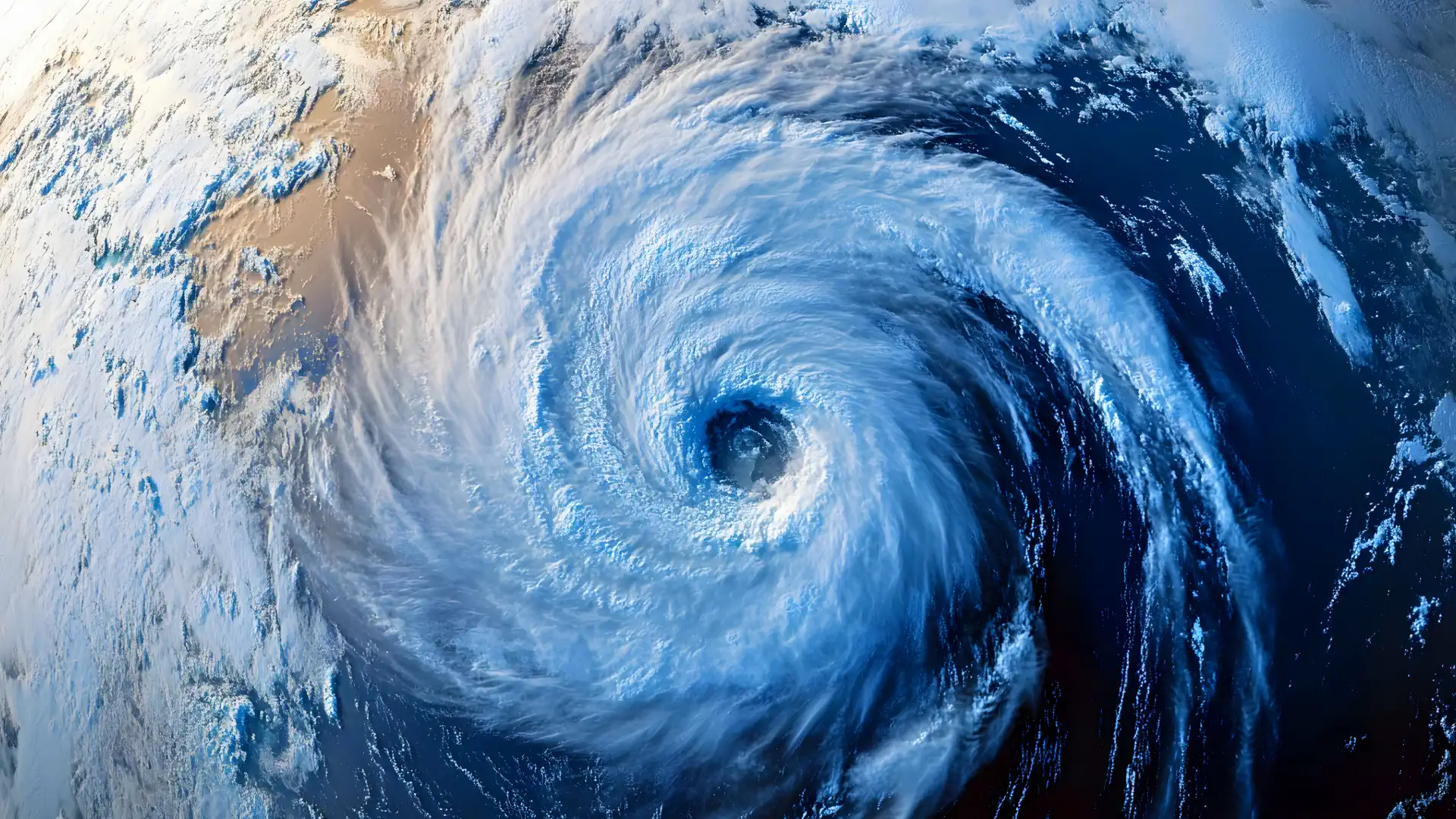
Watch Out US : Hurricane Erin May Be Gone but Fernand Is Rising Fast

A New Storm Fernand on Erin’s Tail
Hurricane Erin, a rapidly intensifying Category 4 (briefly Category 5) storm, has dominated headlines—but meteorologists are now shifting focus to its successor. A growing tropical wave moving off Africa has elevated odds of becoming Tropical Storm Fernand. The U.S. East and Gulf Coasts must stay alert. This article breaks down the timeline, trajectory possibilities, and potential impact zones with crystal clarity.

Erin’s Track and Influence
- Erin became the first major hurricane of the 2025 Atlantic season, blasting from Category 1 to Category 5 with 160 mph winds on August 15–16, before easing back to Category 4.
- As of mid-week (August 19), it’s veering north-northeast, passing between Bermuda and the mid-Atlantic U.S. seaboard, remaining offshore yet generating life-threatening surf, rip currents, coastal erosion, and storm surge threats.
- Coastal communities, especially North Carolina’s Outer Banks, have activated evacuations, issued tropical storm warnings, and declared states of emergency—not due to direct landfall risk, but due to huge waves (up to 15–20 ft), storm surge, and dangerous rip currents.
Fernand: The Potential Successor
Development Odds
- A tropical wave in the eastern Atlantic is being monitored closely. Development odds have surged to 60% over the next several days as models (EURO, GFS) both suggest a tropical cyclone forming this weekend which would become Fernand, the season’s sixth named storm.
The National Hurricane Center similarly flags this disturbance, with 60% formation chance over the next seven days.
Forecast Track & Timeline
- If formation occurs, Fernand may emerge mid- to late week (end of August or very early September), given typical formation cadence. AccuWeather and others forecast 3–5 named storms in August, with Fernand next after Erin, potentially moving west-northwest toward the Caribbean or U.S. East Coast before turning—though model paths vary.
- The Earliest U.S. impact window spans mid- to late August, especially if the wave holds its current track.
Impact Zones: Where Might Fernand Hit?
Caribbean & East Coast
- Should Fernand track like Erin—but closer to the Caribbean archipelagos—it may threaten areas such as Florida, Georgia, or the Carolinas by generating tropical rain, gusty winds, surf, and rip currents.
Gulf Coast Scenario
- Alternatively, if forecasters monitor a different wave or disturbance (e.g., Invest 98L) developing in the western Gulf of Mexico, Fernand could instead threaten South Texas, notably ports like Brownsville, Corpus Christi. Impacts could include scattered thunderstorms, elevated swells, but major development currently remains low-to-moderate.
Timing & Risk Overview
| Storm | Status | Current Location / Movement | Key Threats | U.S. Impact Potential |
|---|---|---|---|---|
| Hurricane Erin | Category 4 (after brief Category 5) | Moving N-NE between U.S. East Coast and Bermuda | Life-threatening surf, rip currents, coastal erosion, evacuations | High (positive impact due to offshore track) |
| Tropical Storm Fernand (potential) | Not yet formed (~60% chance) | Emerging wave off Africa; models show possible development this weekend | Tropical rain, wind, beach erosion, rip currents | Medium—timing mid- to late August; possible paths toward East or Gulf Coast |
Final Forecast & Preparation Advice
- Erin remains a major offshore threat through the week. Beach communities along the U.S. East Coast, particularly from North Carolina to New England, should stay vigilant for dangerous conditions—not because of landfall, but due to rough seas and rip currents.
- Fernand, if it forms, will likely do so by late August. Its path remains uncertain—but both the Atlantic coast and possibly the Gulf Coast must closely monitor updates. Swell, rain, and wind hazards are possible even without a full landfall scenario.
- Beachgoers and coastal residents: heed local advisories, watch for unexpectedly strong surf, avoid swimming in unsupervised areas, and prepare for tropical rain or gusts—even if major landfall seems unlikely.
Authority & Sources
This analysis draws from up-to-date reporting and forecasts from authoritative outlets:
Additional data from AccuWeather, NHC, Reuters, AP, etc., integrated above.
Be sure to visit trusted sources like the National Hurricane Center, NOAA, and local weather services for updates.
Gleb Perov is the founder and chief meteorologist of POGODNIK, a leading weather forecasting service in Eastern Europe. With over 15 years of hands-on experience in meteorology and climate analysis, he has worked private weather services.
Gleb is the author of numerous scientific and analytical publications on climate, magnetic storms, and atmospheric processes. He regularly collaborates with major international agencies such as NOAA, ECMWF.


