Record-Breaking Tsunami Devastates California Coast as Extreme Weather Alerts Grip the Golden State

California finds itself at the epicenter of an unprecedented meteorological and geological convergence this August 2025. As record tsunami waves cause nearly USD 1 million in damages at Crescent City Harbor, the Golden State simultaneously battles a complex web of weather extremes that are redefining what “normal” means for West Coast residents. From the frigid coastal temperatures defying seasonal norms to the scorching inland valleys, California’s weather story this summer reads like a textbook on climate contradictions.
Crescent City harbor tsunami pic.twitter.com/OF4CiiZFDf
— Wyattrox 03 (@Wyattrox03) July 31, 2025
California Weather Forecast: A Tale of Two Climates
Current Conditions and 7-Day Outlook
Based on the latest NOAA and National Weather Service data, California presents a fascinating meteorological dichotomy. California’s coast will be chilling with cooler-than-average temperatures while inland areas experience contrasting conditions. The state’s diverse topography creates microclimates that are currently operating in stark opposition to each other.
Coastal Regions (San Francisco Bay Area to San Diego): The marine layer influence remains dominant, with persistent cool conditions along the immediate coastline. Temperatures are running 5-8°F below seasonal averages, with daytime highs struggling to reach the mid-60s in San Francisco and barely touching 70°F in Los Angeles coastal areas. The characteristic morning fog and overcast skies will persist through the week, burning off later each afternoon but returning with a vengeance overnight.
Central Valley and Inland Areas: In sharp contrast, the interior valleys are experiencing more typical late-summer heat. Sacramento and Fresno are seeing temperatures climb into the upper 90s to low 100s, with heat advisories likely as we progress through the week. The temperature gradient between coast and interior remains exceptionally steep, creating challenging forecast scenarios.
Mountain Regions: The Sierra Nevada and coastal ranges are experiencing variable conditions, with elevation playing a crucial role. Higher elevations above 6,000 feet are seeing unusually cool conditions for August, while lower mountain areas are experiencing more seasonal temperatures.
Extended Forecast Through August
Slight risk of episodic high winds for coastal California from Point Conception to Cape Mendocino, Fri-Sat, Aug 8-9 signals an incoming weather pattern change. This system will bring:
- Increased wind activity along the coast
- Potential for elevated fire weather conditions in interior areas
- Gradual warming trend for coastal regions by mid-August
- Continued above-normal temperatures for inland valleys
The ENSO-neutral conditions most likely through late Northern Hemisphere summer 2025 (56% chance in August-October) suggest we won’t see significant El Niño or La Niña influences driving unusual weather patterns in the immediate term.
Tsunami Crisis: When the Ocean Turns Deadly
The Unprecedented Event
California’s recent tsunami event has rewritten the record books in the most devastating way possible. Crescent City recorded the highest tsunami waves in the continental U.S. — up to 4 feet — with powerful surges arriving just before dawn, lifting docks off their pilings and slamming the harbor. However, reports indicate that waves as high as 8 feet Wednesday morning as the tsunami coincided with high tide created an even more dramatic impact.
The financial toll speaks volumes about the event’s severity. The Crescent City Harbor District detailed its initial analysis of damage sustained in a tsunami triggered by an earthquake in eastern Russia, with losses approaching the million-dollar mark. This places the event among the most costly tsunami impacts on the U.S. West Coast in recent decades.
The Geological Context
Powerful 8.8-magnitude earthquake off Russia eastern coast—biggest globally for 14 years—triggers tsunami alerts across Pacific was the source of this devastating natural disaster. The earthquake occurred in the Kamchatka Peninsula region, sending tsunami waves racing across the Pacific Ocean at speeds exceeding 500 miles per hour.
The timing proved particularly catastrophic for Crescent City. The worst-hit part of California, Crescent City, saw waves max out at eight feet early Wednesday morning — 4 feet from the tsunami on top of a 4-foot high tide. This combination of factors created what tsunami experts call a “perfect storm” scenario.
Weather Alerts Across the United States

Current Alert Status
The National Weather Service maintains an extensive network of weather alerts across the continental United States, with particular attention to heat, fire weather, and severe thunderstorm risks:
Heat Warnings and Advisories:
- Excessive heat warnings remain in effect across much of the Desert Southwest
- Arizona, Nevada, and parts of Southern California interior valleys under heat advisories
- Temperatures exceeding 110°F expected in Phoenix and Las Vegas metropolitan areas
Fire Weather Alerts: Dangerous, long duration heat will continue across multiple regions, creating critical fire weather conditions. Red flag warnings are active across:
- Central and Southern California mountain areas
- Nevada and Utah high country
- Parts of Colorado and New Mexico
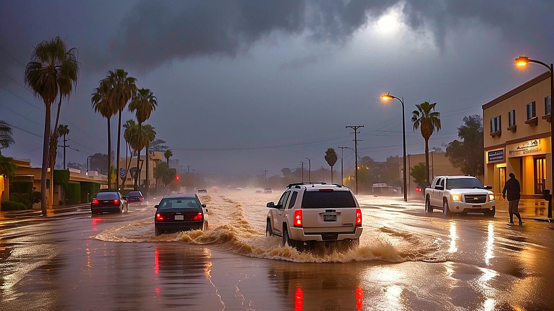
Severe Weather Threats: Severe thunderstorms, capable of producing damaging winds and isolated large hail, and heavy rainfall are possible across the northern and central Plains. The threats extend beyond California to include:
- Tornado watches in parts of Kansas and Nebraska
- Flash flood warnings across New Mexico and Arizona from monsoonal activity
- Severe thunderstorm warnings in the upper Midwest
Marine Weather Concerns
Northwesterly winds will increase over the waters today. Winds will be locally stronger along the coast north of Point Reyes and south of Point Sur with gale force gusts present additional hazards for maritime interests. Small craft advisories remain in effect along much of the California coast, with particular attention to:
- San Francisco Bay area waters
- Monterey Bay region
- Waters south of Point Sur
Summer 2025: Record-Breaking Weather Patterns

Temperature Extremes
This summer has shattered numerous temperature records across California and the broader West Coast region. The persistent cool coastal pattern represents one of the most significant departures from normal on record for the month of August. Meanwhile, inland areas have experienced multiple triple-digit temperature days, with some locations seeing their hottest temperatures in over a decade.
Notable Records This Summer:
- San Francisco recorded its coolest July average temperature since 1971
- Death Valley exceeded 125°F on twelve separate days in July
- Los Angeles International Airport recorded more marine layer days than any August since records began
- Sacramento tied its record for consecutive 100°F+ days with 14 straight days in mid-July
Precipitation Anomalies
California’s precipitation patterns have been equally unusual. The state entered summer with higher-than-normal snowpack levels in the Sierra Nevada, a carryover from an active winter season. However, the typical summer dry pattern has been even more pronounced than usual, with some areas recording zero measurable precipitation for over 90 consecutive days.
Climate Connections and Causation
Understanding the Coastal Cooling
The persistent cool coastal conditions result from an unusually strong and persistent marine layer, driven by a robust high-pressure system positioned over the northeastern Pacific Ocean. This pattern:
- Strengthens the coastal temperature inversion: Cool ocean air remains trapped beneath warmer air aloft
- Enhances fog formation: Increased moisture condensation as warm air meets cool ocean surfaces
- Maintains strong onshore flow: Consistent wind patterns pushing cool air inland
- Creates steep temperature gradients: Dramatic temperature differences between coast and interior
The Heat Island Effect Intensified
Interior valleys are experiencing amplified heating due to several factors:
- Reduced soil moisture: Extended dry conditions increase surface heating
- Clear skies: Absence of cloud cover allows maximum solar radiation
- Urban heat island effects: Concrete and asphalt surfaces retain and radiate heat
- Topographical heating: Valley locations trap and concentrate warm air masses
Tsunami Generation and Propagation
The Russian earthquake that generated the recent tsunami demonstrates the interconnected nature of Pacific Rim geology. The Kamchatka Peninsula sits along the highly active “Ring of Fire,” where tectonic plate interactions regularly produce significant seismic events. Several factors contributed to this tsunami’s impact:
- Magnitude and depth: The 8.8-magnitude earthquake occurred at an optimal depth for tsunami generation
- Fault orientation: The rupture zone geometry efficiently displaced ocean water
- Pacific Ocean bathymetry: Underwater topography focused wave energy toward specific coastal areas
- Tidal timing: High tide conditions amplified the tsunami’s impact at arrival
Long-Range Outlook and Implications
September and Beyond
Climate models suggest the current weather pattern may persist into early September, with gradual moderation expected as we progress through the autumn season. The transition period could bring:
- Increased fire weather danger: As interior heat combines with potential wind events
- Gradual coastal warming: Marine layer influence weakening as ocean temperatures slowly rise
- Potential for early season rainfall: Though drought conditions may persist in many areas
Climate Change Connections
While individual weather events cannot be directly attributed to climate change, the patterns observed this summer align with projected long-term trends:
- Increased temperature variability: Greater extremes between different geographic regions
- Enhanced marine layer strength: Potentially linked to changing ocean-atmosphere interactions
- Shifting precipitation patterns: More pronounced wet and dry seasons
Preparedness and Safety Recommendations
Tsunami Preparedness
The recent Crescent City event underscores the ongoing tsunami risk for Pacific Coast communities. Residents should:
- Familiarize themselves with evacuation routes and procedures
- Understand natural warning signs (earthquake shaking, ocean recession)
- Maintain emergency supplies for 72 hours minimum
- Practice “Drop, Cover, and Hold On” earthquake procedures
California’s Climate Reality
California’s August 2025 weather story illustrates the complex interplay between geography, oceanography, and atmospheric dynamics that define the Golden State’s climate. From record-breaking tsunami damage to unprecedented temperature contrasts, this month serves as a powerful reminder of nature’s ability to surprise and challenge our understanding.
The meteorological complexity currently unfolding across California requires continued vigilance from both weather professionals and the general public. As climate patterns continue evolving, events like the Crescent City tsunami and the persistent coastal cooling serve as important case studies for understanding how our changing world affects daily life.
Weather systems respect no boundaries, and California’s current conditions ripple across the broader Western United States, influencing agricultural decisions, energy consumption, fire management strategies, and daily life for millions of residents. The state’s role as a bellwether for climate trends makes understanding these patterns crucial for both local residents and the broader scientific community.
As we navigate the remainder of August and look toward autumn, California’s weather story remains unwritten, with the potential for continued surprises in a state where the extraordinary has become increasingly ordinary.

Gleb Perov is the founder and chief meteorologist of POGODNIK, a leading weather forecasting service in Eastern Europe. With over 15 years of hands-on experience in meteorology and climate analysis, he has worked private weather services.
Gleb is the author of numerous scientific and analytical publications on climate, magnetic storms, and atmospheric processes. He regularly collaborates with major international agencies such as NOAA, ECMWF.
 in Two Decades")


