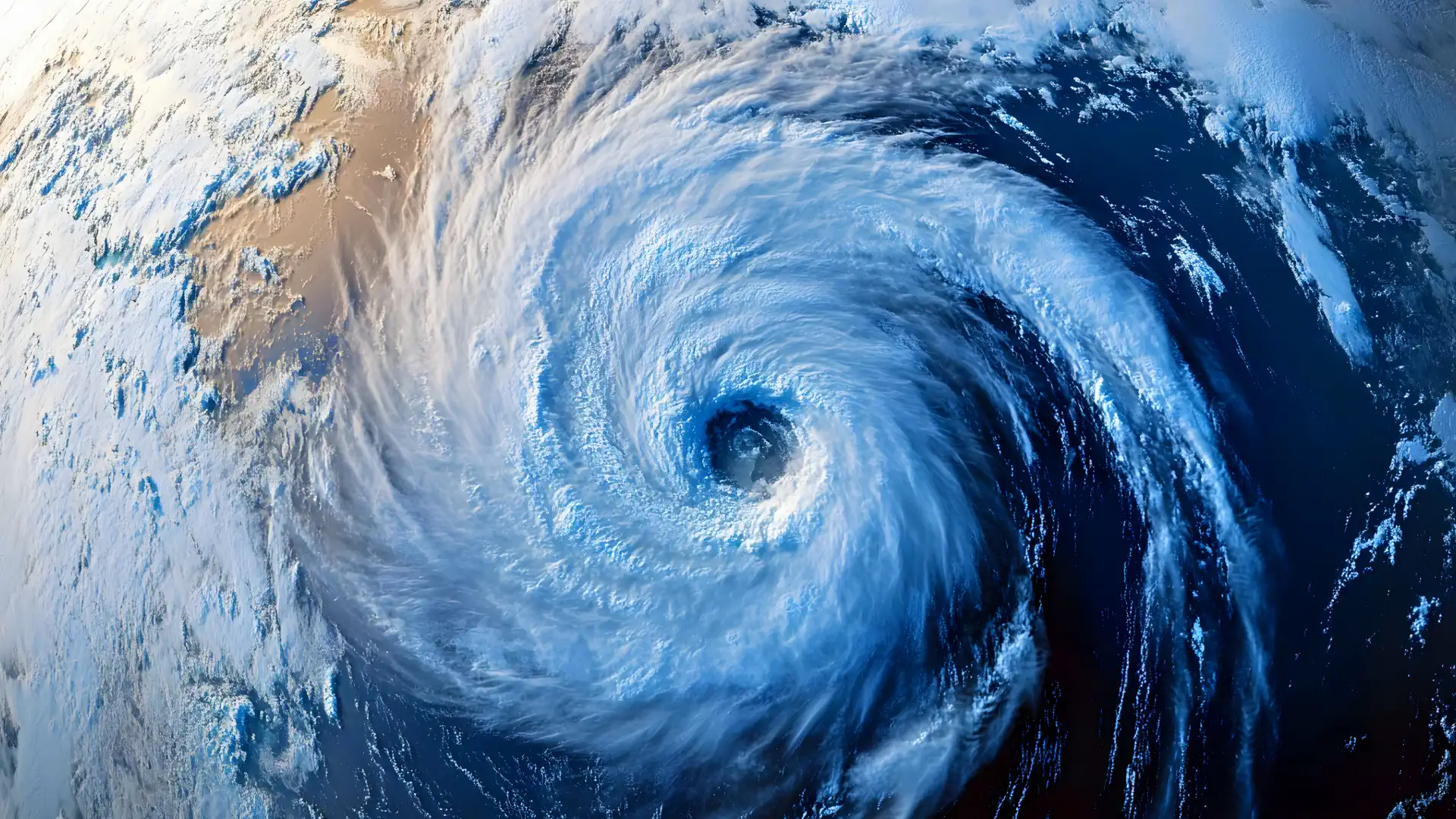
Typhoon Nari’s Historic Hokkaido Landfall: A Rare July Fury

Typhoon Nari etched its name into meteorological history on July 15, 2025, as it roared ashore near Cape Erimo, Hokkaido, marking the first typhoon landfall on Japan’s northern main island since 2016 and the first ever recorded in July since records began in 1951. This formidable storm, the fifth named system of the 2025 Pacific typhoon season, brought punishing winds, torrential rains, and towering waves, leaving Hokkaido and surrounding regions bracing for impact.
A Historic Strike on Hokkaido
Typhoon Nari slammed into Hokkaido’s southern coast near Cape Erimo at approximately 02:00 local time (LT) on July 15, 2025, delivering a rare and powerful blow to Japan’s northernmost main island. As the first typhoon to make landfall in Hokkaido since 2016, and the first ever in July, Nari unleashed sustained winds exceeding 80 km/h (50 mph), heavy rainfall, and waves up to 6 meters (20 feet), threatening infrastructure, transportation, and safety across the region.
The JMA has urged residents to remain vigilant, warning of potential landslides, flooding, and storm surges as the system transitions into an extratropical cyclone. With up to 120 mm (5 inches) of rain forecast for Hokkaido and gusts reaching 105 km/h (65 mph), Nari’s impact continues to reverberate even after moving into the Sea of Okhotsk.
Severe Tropical Storm #Krosa is predicted to strengthen into a Typhoon, making landfall over the east of Kyushu and west of Shikoku islands in #Japan on Thursday. Impacts are likely, following on from Typhoon #Francisco and Tropical Storm #Nari pic.twitter.com/MyYCdWDDtR
— Met Office (@metoffice) August 13, 2019
Typhoon Nari originated approximately 1,000 km south of Honshu, near Chichijima Island in the Pacific, over the weekend prior to July 14, 2025. The storm tracked northward along Japan’s eastern coastline, passing within 250 km of Tokyo on July 14 before accelerating toward Hokkaido. Its historic landfall occurred near Cape Erimo, a rugged coastal point on Hokkaido’s southern tip, around 02:00 LT on July 15.
After striking Hokkaido, Nari moved swiftly into the Sea of Okhotsk by 07:00 LT, transitioning into an extratropical cyclone by 09:00 LT. Regions at risk included Hokkaido’s Pacific coast, particularly areas between Hidaka and Kushiro, as well as the Tohoku and Kanto-Koshin regions, which faced heavy rainfall and strong winds. The storm’s trajectory also raised concerns for Russia’s Kuril Islands as it continued northwestward.
Meteorological Characteristics
At the time of landfall, Typhoon Nari was classified as a severe tropical storm, with a central pressure of 994 hPa and sustained winds near the center reaching 23 m/s (83 km/h or 51 mph), with gusts up to 35 m/s (126 km/h or 78 mph). The storm’s radius of gale-force winds extended approximately 200–300 km, impacting a wide swath of Hokkaido’s southern and eastern coasts.
By 06:00 LT on July 15, Nari was located 30 km northwest of Cape Erimo, moving north at 55 km/h. Satellite imagery from JMA’s Himawari-9 revealed a partially exposed low-level circulation, with convection weakened by dry air entanglement, yet the storm maintained significant intensity as it approached Hokkaido. Rainfall rates were extreme, with some areas expecting up to 120 mm (5 inches) in 24 hours, while wave heights reached 6–7 meters along Hokkaido’s Pacific coast.
Forecast and Dynamics
The JMA and Joint Typhoon Warning Center (JTWC) tracked Nari’s rapid northward progression, forecasting its transition to an extratropical cyclone by 09:00 LT on July 15 as it entered the colder waters of the Sea of Okhotsk. The storm’s forecast track indicated continued movement northwestward, potentially affecting Russia’s Kuril Islands.
While Nari weakened after landfall, the JMA warned of persistent impacts due to a strong pressure gradient caused by an expanding Pacific high-pressure system. Through July 15, Hokkaido was expected to see up to 120 mm of rainfall, Tohoku up to 80 mm, and Kanto-Koshin up to 200 mm by 18:00 LT. Winds were forecast to remain strong, with gusts up to 105 km/h in Hokkaido and 108 km/h in Tohoku.
The risk of high waves, with swells up to 6 meters in Hokkaido and 5 meters in Tohoku, persisted through the day. Beyond July 15, moist tropical air was expected to fuel heavy rain in Kanto and Tokai, with totals potentially reaching 400–500 mm by July 18, raising concerns for prolonged flooding.
Potential Impacts
Typhoon Nari’s landfall brought significant disruptions to Hokkaido and surrounding areas. The storm’s strong winds, with gusts up to 126 km/h (78 mph), caused power outages across Hokkaido, particularly along the Pacific coast, and felled trees, blocking roads and railways. JR Hokkaido suspended services on the Nemuro, Hanasaki, and Senmō lines through midday on July 15 due to safety concerns.
Heavy rainfall, with up to 120 mm expected in Hokkaido and 200 mm in Kanto-Koshin, raised the risk of flash flooding, landslides, and rising river levels, particularly in low-lying areas. Coastal regions faced dangerous storm surges and waves up to 6 meters, prompting warnings for shipping and fishing vessels.
In Tohoku and Kanto, train schedules and ferry services were disrupted, with Tokyo experiencing indirect effects from rain and gusts. No deaths or major injuries were reported as of Tuesday afternoon, but evacuation advisories were issued in Hokkaido and Tohoku, urging residents to seek shelter. The agricultural sector faced potential crop damage due to heavy rain and hail risks.
Recommendations and Warnings
The JMA issued warnings for strong winds, high waves, and heavy rainfall across Hokkaido, Tohoku, and Kanto-Koshin, urging residents to remain vigilant through July 15. Specific alerts included landslide risks in low-lying areas, potential river flooding, and hazardous sea conditions. Residents were advised to avoid coastal areas, secure outdoor objects, and stay indoors during peak storm conditions.
The JMA recommended monitoring real-time updates via their website, NHK World, or local authorities. Emergency kits with food, water, and flashlights were advised, along with waterproof clothing due to strong winds rendering umbrellas ineffective. Local governments in Hokkaido activated evacuation centers, and residents were urged to follow advisories and contact authorities via emergency hotlines for assistance. For travelers, checking with JR Hokkaido, Narita, or Haneda airports was recommended to avoid disruptions.
Historical Context
Typhoon Nari’s landfall on Hokkaido is a rare event, marking the first typhoon to strike the island since Typhoon Mindulle in 2016 and the first July landfall in recorded history since 1951. Hokkaido, located in Japan’s northern region, typically experiences fewer and weaker typhoons compared to southern areas like Okinawa, which face 6–7 typhoons annually.
The 2025 Pacific typhoon season, running from May to October, has seen heightened activity, with Nari as the fifth named storm. Historically, typhoons in July are less common, with August and September being peak months for landfalls. Nari’s northward trajectory mirrors rare events like Typhoon Lionrock (2016), which also struck Hokkaido, causing significant flooding. The storm’s unusual July timing and strength suggest possible influences from warming ocean temperatures, though further research is needed to confirm climate change connections.
Conclusion
Typhoon Nari’s historic landfall on Hokkaido on July 15, 2025, as the first July typhoon to strike the island since records began, underscores the unpredictable nature of tropical cyclones. With sustained winds of 83 km/h, heavy rainfall up to 120 mm, and waves reaching 6 meters, Nari disrupted transportation, triggered power outages, and prompted evacuation advisories across Hokkaido and Tohoku.
As the storm transitions to an extratropical cyclone, the JMA warns of ongoing risks from high winds, flooding, and landslides through July 15, with Kanto and Tokai facing prolonged heavy rain. Residents are urged to stay informed via JMA updates, expected next at 12:00 LT on July 15, and prioritize safety. Nari’s rare path serves as a reminder of the need for robust preparedness in Japan’s northern regions, where such events are increasingly possible.
Sources
- Japan Meteorological Agency (JMA): Real-time typhoon updates and warnings.
- Joint Typhoon Warning Center (JTWC): Forecast tracks and storm data.
- NOAA/Himawari-9 via RAMMB/CIRA: Satellite imagery and loops.
- The Watchers: Detailed storm reports and analysis.
- Kyodo News: Regional impact summaries.
Gleb Perov is the founder and chief meteorologist of POGODNIK, a leading weather forecasting service in Eastern Europe. With over 15 years of hands-on experience in meteorology and climate analysis, he has worked private weather services.
Gleb is the author of numerous scientific and analytical publications on climate, magnetic storms, and atmospheric processes. He regularly collaborates with major international agencies such as NOAA, ECMWF.


