Storm Brem Targets the UK: Damaging Winds, Storm Surge and Widespread Disruption Expected
Storm Brem, a fast-intensifying Atlantic depression, is set to bring a period of severe and potentially dangerous weather to the United Kingdom. The Met Office has issued a series of warnings as the system accelerates toward the British Isles, driven by powerful upper-level dynamics and exceptionally warm Atlantic waters.
Forecasters confirm that Storm Brem is undergoing explosive cyclogenesis — a process in which surface pressure falls extremely rapidly, strengthening wind fields and enhancing rainfall rates. This type of storm evolution is often associated with the most damaging winter windstorms across the UK and Ireland.
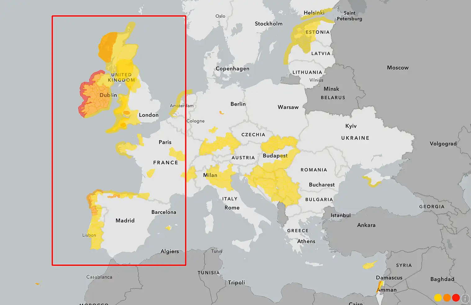
The highest impacts are expected across western Wales, north-west England, western and northern Scotland, and exposed Irish Sea coastlines. However, strong winds and heavy rain will spread well inland, affecting large parts of England and southern Scotland as well.
Wind remains the dominant threat. Forecast models indicate gusts of 70–90 mph (110–145 km/h) along exposed coasts and high ground, with inland areas still facing gusts strong enough to bring down trees, damage roofs, disrupt power lines and create hazardous driving conditions for high-sided vehicles.
Along the coast, the risk is compounded by a developing storm surge. The timing of Storm Brem coincides with elevated tidal levels, raising the likelihood of coastal overtopping, flooding of low-lying promenades, harbour disruption and wave damage to sea defences. Ferry services across the Irish Sea and west coast routes are likely to face significant disruption or suspension.
Heavy rainfall will accompany the storm as deep Atlantic moisture is driven ashore by persistent south-westerly winds. With ground already saturated after recent wet conditions, the additional rain increases the risk of surface-water flooding, river level rises and localised flash flooding in urban areas.
Transport infrastructure is particularly vulnerable during Storm Brem. Rail networks may suffer from fallen trees and overhead line damage, while major road routes — especially bridges and exposed motorways — could see speed restrictions or temporary closures. Aviation operations are also at risk from strong crosswinds and turbulence.
Power distribution companies are preparing for localised electricity outages, particularly in rural and coastal communities where overhead lines are most exposed to falling trees and debris.
Meteorologically, Storm Brem represents a textbook example of how extreme temperature contrasts between Arctic air and warm Atlantic waters can rapidly intensify cyclonic systems. A powerful and accelerated polar jet stream is acting as a conveyor belt, directing the storm energy straight toward the United Kingdom.
Residents in warning areas are urged to prepare in advance. Loose outdoor objects should be secured, unnecessary travel avoided during peak conditions and coastal areas treated with extreme caution. Mobile devices and backup lighting should be charged in case of power interruptions, and motorists are advised to remain vigilant for sudden hazards on the roads.
The first significant impacts are expected overnight, with peak conditions arriving during the morning and afternoon. While winds should slowly ease by evening, unsettled and gusty conditions may persist into the following day.
Storm Brem is shaping up to be one of the most significant early-winter windstorms of the season for the UK. While severe weather cannot be prevented, its impact can be reduced through preparation, caution and strict adherence to official warnings.
The key message from forecasters is clear: do not underestimate Storm Brem.

Gleb Perov is the founder and chief meteorologist of POGODNIK, a leading weather forecasting service in Eastern Europe. With over 15 years of hands-on experience in meteorology and climate analysis, he has worked private weather services.
Gleb is the author of numerous scientific and analytical publications on climate, magnetic storms, and atmospheric processes. He regularly collaborates with major international agencies such as NOAA, ECMWF.

 in Two Decades")

