Polar Vortex Meltdown Update: New Data Says Get Ready for a Wild, Chilly March!

Remember that Polar Vortex collapse we’ve been tracking? Buckle up, because the latest update is here, and it’s a doozy! Fresh data shows this stratospheric showdown is kicking into high gear, and it’s about to shake up March across North America with some serious cold vibes.
We’re talking about a Stratospheric Warming event so intense it’s smashing the Polar Vortex to smithereens—its second and final knockout of 2025. New forecasts reveal it’s not just big—it’s historic, one of the wildest late-season disruptions we’ve seen in years. And the first signs are already popping up: a beefy high-pressure zone is building over Greenland and eastern Canada, ready to unleash a wave of late-winter chill on the U.S.
The Sky’s Falling Apart (Sort Of)
Let’s break it down. The Polar Vortex is that giant, swirling cold-air machine that spins over the Arctic, stretching from the troposphere (where your rain and snow happen) up into the stratosphere (way up at 18.5 miles!). Since our last update, things have gotten crazy up there. New 3D scans show a massive high-pressure system teaming up with a scorching warming wave to rip the Vortex apart. Winds that usually blow west-to-east? They’ve flipped completely—now screaming eastward, a surefire sign this thing’s toast until next fall.
The numbers don’t lie. Stratospheric temps are spiking fast—way above normal for March—and the latest wind forecasts show them diving into record-breaking territory. This isn’t just a hiccup; it’s a full-on collapse, and it’s rewriting the weather rulebook.
From Space to Your Street
Here’s where it gets real for you. A crumbling Polar Vortex messes with the jet stream—that high-altitude river of air that steers our weather. When it wobbles, Arctic air spills south like soda from a shaken can. The newest models show that high-pressure blob over Canada acting like a bouncer, shoving cold air toward the central and eastern U.S. by mid-March. Think crisp mornings, frosty windshields, and maybe even a snow cameo or two—pretty wild for spring, right?
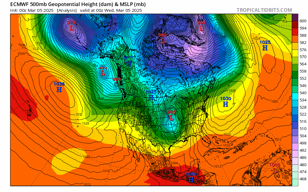
Since our last chat, we’ve got sharper data. The ECMWF and GFS models agree: cold air’s pooling in southern Canada, primed to swoop into places like the Midwest and Northeast. It’s still early days—the full punch might take a week or two to land—but the trend’s locking in: March is about to feel more like January.
Why This Matters to You
Normally, a strong Polar Vortex keeps the Arctic’s icy grip locked up north, leaving us with milder days. But when it falls apart—like now—that cold air gets a free pass to crash the party. Past collapses have dropped snow bombs and frozen entire regions. This one’s shaping up to be a heavyweight champ, so don’t ditch your scarves just yet!
This Polar Vortex meltdown is a live show, and we’ve got front-row seats.
Polar vortex collapse weather 2025

Gleb Perov is the founder and chief meteorologist of POGODNIK, a leading weather forecasting service in Eastern Europe. With over 15 years of hands-on experience in meteorology and climate analysis, he has worked private weather services.
Gleb is the author of numerous scientific and analytical publications on climate, magnetic storms, and atmospheric processes. He regularly collaborates with major international agencies such as NOAA, ECMWF.


