Massive Hailstorm and Flash Flood Devastate Paris: Two Killed, Dozens of Buildings Damaged Across France

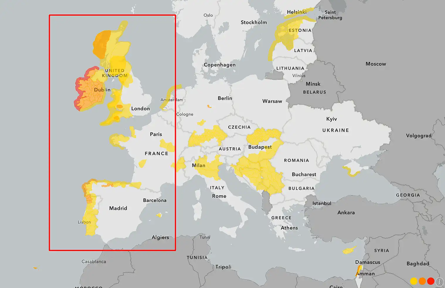
A violent summer storm system has swept across France, leaving a trail of destruction from Tarn-et-Garonne to Paris and Mayenne, with at least two fatalities, hundreds of emergency responses, and widespread flooding. The capital witnessed golf ball-sized hail, over 39,000 lightning strikes, and flash floods that submerged metro stations, overwhelmed drains, and flooded city streets.
Chaos in Paris, France
A 12-year-old boy was killed in southern France when a tree collapsed near a riverbank amid gusts reaching 114 km/h (71 mph). In Mayenne, a 59-year-old motorcyclist died after colliding with a fallen tree.
In Paris, scenes of chaos unfolded as powerful storms struck late on June 25:
Metro stations flooded
Pedestrians waded through waterlogged streets
Firefighters responded to 40+ calls about fallen trees
Rainwater leaked into the French National Assembly, halting parliamentary debate
⚡ Historical Context: When Paris Last Faced Nature’s Fury
France is no stranger to severe summer weather, but the intensity and timing of this system is rare. The last comparable event was in July 2021, when a hailstorm damaged vineyards in Bordeaux and a “supercell” system swept through central France. In June 2016, Paris faced devastating floods that forced the Louvre Museum to evacuate artworks and pushed the Seine River above 6 meters.
The June 2025 storm, however, stands out due to the combination of extreme heat and rapid convective development, setting the stage for high-energy thunderstorms capable of hail, downbursts, and lightning clusters across urban centers.
💨 A severe thunderstorm hits Paris, France, June 25, 2025. Wind gusts during the squall reached 25 meters per second. On the streets of Paris after a squall.https://t.co/FZr7DAoVoI#Paris #hail #THUNDER #France pic.twitter.com/0D8CbP4ovX
— City Weather (@ukcityweather) June 26, 2025
🌦️ Forecast: Paris & France – June 26 to July 2, 2025
Short-Term Outlook (June 26–28):
Thunderstorms are forecast to gradually weaken and shift northeast, bringing temporary relief to central France.
However, lingering instability may trigger localized storms in the Grand Est and Île-de-France regions.
Friday (June 27): Dry and sunny over most of France, but thunderstorm watches remain in effect for eastern Burgundy and Alsace.
Extended Outlook (June 29–July 2):
Extreme heat will return over the weekend, with highs near 36°C (97°F) in Paris and 40°C (104°F) in southern valleys.
New convective outbreaks are likely July 1–2, especially in central and southern France, increasing the risk of new hailstorms and flash floods.
UV and heat warnings expected to be reissued by Météo-France.
Gleb Perov is the founder and chief meteorologist of POGODNIK, a leading weather forecasting service in Eastern Europe. With over 15 years of hands-on experience in meteorology and climate analysis, he has worked private weather services.
Gleb is the author of numerous scientific and analytical publications on climate, magnetic storms, and atmospheric processes. He regularly collaborates with major international agencies such as NOAA, ECMWF.


