Hurricane Gabrielle Approaches the Azores: New Forecast and European Outlook
Category 4 Gabrielle Nears the Azores
As of 23 September 2025, HurricaneGabrielle has intensified into a Category 4 hurricane with maximum sustained winds of 220 km/h (140 mph) and gusts even higher, according to the National Hurricane Center (NHC). The central pressure stands at 948 mb. The system is moving east-northeast at 31 km/h (20 mph) and is currently located approximately 2,840 km west of the Azores and 630 km east-northeast of Bermuda.
In response, the Azores Meteorological Service has issued a Hurricane Watch for all islands, with hurricane conditions expected late Thursday, September 25. Tropical-storm-force winds extend up to 220 km (140 miles) from the center, while hurricane-force winds reach 65 km (40 miles).
Latest on hurricane #Gabrielle with the track bringing the remnants towards Portugal for weekend but weakening quickly and just bringing some rain and wind. Ireland will see rain Friday night into Saturday so get that silage wrapped by Friday evening. pic.twitter.com/Jsmx27qFdj
Gabrielle is forecast to approach the archipelago late Thursday, bringing:
Hurricane-force winds across central and western islands;
Heavy rainfall of 75–125 mm (3–5 inches) in central and western islands, 25–50 mm (1–2 inches) in the east;
Dangerous storm surge and large coastal waves in areas with onshore winds.
Although the hurricane’s eye remains well-defined with strong convection, increasing westerly wind shear is beginning to disrupt the inner core. Shear is expected to exceed 20 kt within 24 hours and 30 kt in 48 hours, gradually weakening the storm as it moves past the Azores.
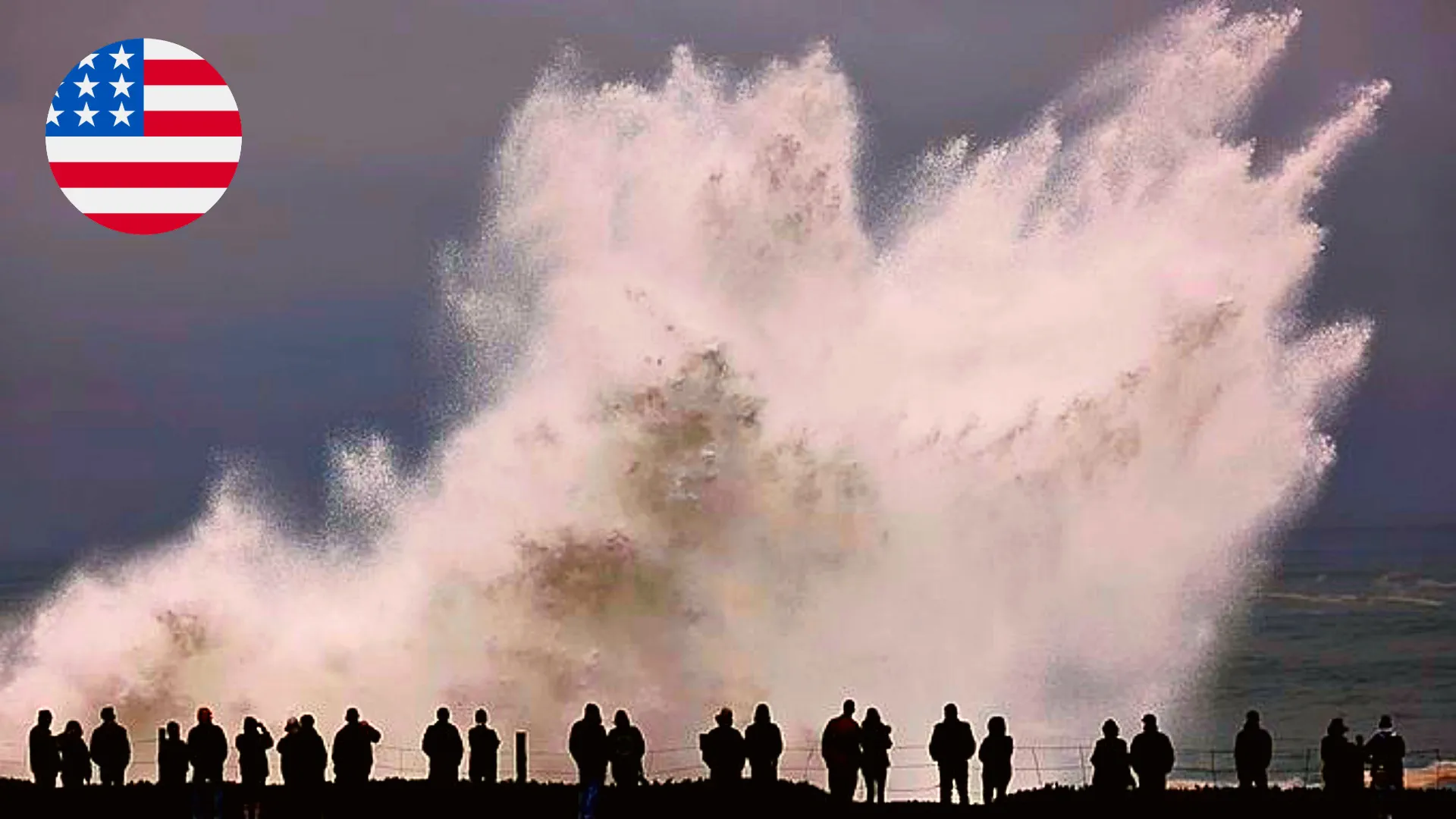
Swells and Marine Hazards Across the Atlantic
Swells generated by Gabrielle are already affecting:
Bermuda;
The eastern United States (North Carolina northward);
Atlantic Canada.
These swells will persist for several days, creating life-threatening surf and rip current conditions, even as the hurricane begins to weaken near the Azores. Mariners in the North Atlantic are strongly advised to avoid affected areas.
Acceleration Toward Europe and Extratropical Transition
After passing the Azores, Gabrielle is forecast to accelerate poleward, interacting with a mid-latitude trough. This interaction will trigger extratropical transition, likely completing shortly after the hurricane moves past the islands. While the system will lose its tropical characteristics, it will continue to pose significant wind, rainfall, and coastal hazards across the wider North Atlantic.
European Outlook: Portugal and Ireland
With Gabrielle moving northeast, Europe remains under threat from the storm’s extratropical remnants. Updated spaghetti-model guidance suggests:
Portugal: Southwestern Europe may experience heavy rains, gusty winds, and large waves along the coast by September 28–29. Central and northern regions are at higher risk of localized flooding.
Ireland: Western Ireland could see gale- to storm-force winds (up to 120–130 km/h) and significant rainfall on 29 September, with inland flooding and coastal hazards likely.
Although Gabrielle is weakening as it transitions to an extratropical system, the broad wind field and intense ocean swells will continue to affect the Atlantic coastlines of Europe.
Coastal flooding in the Azores, Portugal, and western Ireland;
Marine hazards, including extremely high waves and rip currents;
Strong winds causing power outages, downed trees, and infrastructure damage;
Heavy rainfall, potentially triggering flash floods and landslides.
Hurricane Gabrielle, now a major Category 4 storm, is set to impact the Azores on 25 September before continuing northeast. The system will undergo extratropical transition, but its effects will extend to Portugal and Ireland by the end of the month. Coastal communities, mariners, and authorities are advised to remain vigilant as Gabrielle progresses across the North Atlantic, bringing significant wind, rain, and surf hazards.
Gleb Perov is the founder and chief meteorologist of POGODNIK, a leading weather forecasting service in Eastern Europe. With over 15 years of hands-on experience in meteorology and climate analysis, he has worked private weather services. Gleb is the author of numerous scientific and analytical publications on climate, magnetic storms, and atmospheric processes. He regularly collaborates with major international agencies such as NOAA, ECMWF.