Tornado Warning: Severe Thunderstorm Outbreak Threatens Europe with Large Hail and Damaging Winds
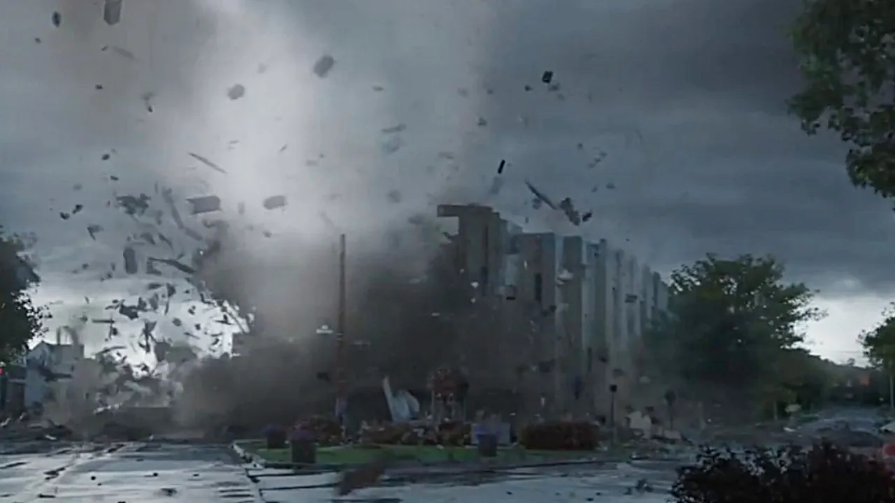
A significant severe weather outbreak is forecast to sweep across Europe, bringing a heightened risk of tornadoes, large hail, damaging winds, and flash flooding. The European Storm Forecast Experiment (ESTOFEX) has issued multiple Level 2 warnings across the continent, driven by a dynamic low-pressure system and a potent synoptic-scale front. Residents are urged to stay vigilant, monitor local weather updates, and take immediate precautions to ensure safety during this volatile weather event.
A deep low-pressure system, with pressure values of 970–975 hPa centered over northwestern Europe and extending toward Iceland, is fueling a strong cyclonic flow across the continent on June 3. This system, coupled with a blocking ridge over southeastern Europe, is setting the stage for widespread severe thunderstorms. A synoptic-scale front stretching from northern Spain to Ukraine is the primary trigger for intense convective activity, increasing the potential for dangerous weather phenomena, including tornadoes.
Spain and Southwestern France: High Tornado Risk
Eastern and northeastern Spain, along with far southwestern France, are under a Level 2 warning for large hail exceeding 5 cm (2 inches), severe wind gusts, heavy rainfall, and a notable tornado threat. With MUCAPE values of 1,000–1,500 J/kg and deep-layer shear of 20–25 m/s (66–82 ft/s), conditions are ripe for long-lived multicells and supercells. These storms could produce isolated tornadoes, particularly in the early evening of June 3, before weakening after sunset due to cell interference.
Central Europe: Widespread Severe Weather
South-central and eastern France, Switzerland, northern Italy, southern Germany, and Austria face multiple Level 2 warnings. MUCAPE values of 800–1,500 J/kg, combined with deep-layer shear of 15 m/s (50 ft/s) and orographic lifting, will spark scattered thunderstorms by the afternoon of June 3. These areas are at risk for classic and high-precipitation supercells, capable of producing large hail, severe winds, heavy rain, and isolated tornadoes. Northeastern Switzerland, southern Germany, and northern Austria are particularly vulnerable, with 0–3 km shear reaching 20 m/s (66 ft/s), enhancing the tornado potential.
Eastern Europe: Supercells and Mesoscale Systems
Southeastern Austria and western Hungary are under a borderline Level 2 risk, with MUCAPE values of 1,000–1,500 J/kg and deep-layer shear of 15 m/s (50 ft/s). Organized multicells and isolated supercells may produce large hail, severe gusts, heavy rain, and an isolated tornado during the discrete storm phase. Eastern Slovakia, western and northern Ukraine, and southern Belarus also face Level 2 warnings, with similar MUCAPE and shear values. A southeastward-moving cold front will trigger multicells, bowing segments, and supercells, potentially evolving into a mesoscale convective system overnight, with risks of very large hail, severe downbursts, and tornadoes.
Poland and Baltic States: Emerging Threats
Poland and the Baltic States are under a Level 1 risk, with MUCAPE values of 300–600 J/kg and strong deep-layer shear supporting organized thunderstorms. Convective initiation is expected after 12:00 local time on June 3, with risks of hail, gusty winds, heavy rainfall, and an isolated tornado, particularly in northeastern Poland, northwestern Belarus, and southeastern Lithuania.
Northern Algeria: Localized Risks
In northern Algeria, thunderstorms along the Atlas Mountains are forecast to produce large hail and severe downbursts, with mid-level CAPE and adequate shear supporting rotating updrafts. These storms carry a Level 1 warning for localized severe weather, including a slight tornado risk.
Safety Recommendations
The severe weather outbreak poses significant risks across Europe, with tornadoes, large hail, damaging winds, and flash flooding threatening lives and property. Residents in Level 2 and Level 1 areas should:
Monitor local weather alerts.
Seek shelter in sturdy buildings during thunderstorms, avoiding open areas and windows.
Prepare for potential power outages and flash flooding, especially in low-lying areas.
Avoid unnecessary travel, as road conditions may become hazardous.
ESTOFEX’s three-level risk scale highlights the enhanced threat of organized severe weather under Level 2 warnings, with historical data confirming high forecast accuracy during the warm season. Stay informed, stay safe, and act swiftly if severe weather approaches.

Gleb Perov is the founder and chief meteorologist of POGODNIK, a leading weather forecasting service in Eastern Europe. With over 15 years of hands-on experience in meteorology and climate analysis, he has worked private weather services.
Gleb is the author of numerous scientific and analytical publications on climate, magnetic storms, and atmospheric processes. He regularly collaborates with major international agencies such as NOAA, ECMWF.


