Fall 2025 Forecast: New Polar Vortex Changes Everything for USA and Canada

A new polar vortex is now developing in the stratosphere over the North Pole, fundamentally altering all previous fall weather forecasts for 2025 and the upcoming winter of 2025-2026 across the United States and Canada. Pressure and temperatures have already begun dropping over polar regions, creating conditions for one of the most dramatic cold weather scenarios in modern meteorological history.
Fall officially begins on September 22, 2025, at 2:19 PM EDT, but new data on polar vortex formation requires a complete revision of all climate expectations for North America. With recent oceanic and atmospheric anomalies impacting this powerful atmospheric phenomenon, signs are emerging for an exceptionally dynamic and unpredictable winter season across both the United States and Canada.
The Polar Vortex: Master of Winter Weather
To understand the magnitude of approaching changes, it’s essential to grasp the nature of the polar vortex phenomenon. This represents a massive cyclonic circulation that forms each autumn when polar regions begin cooling. As the sun drops lower on the horizon and less energy reaches the North Pole, a sharp temperature difference develops between polar and subtropical regions, creating this atmospheric giant.
The polar vortex has a two-level structure, like a gigantic atmospheric tornado stretched vertically through the atmosphere. The upper stratospheric portion sits at approximately 30 kilometers altitude and maintains a relatively symmetrical shape with powerful winds rotating around a cold core. The lower tropospheric section exists closer to Earth’s surface and becomes heavily deformed under the influence of mountain ranges and powerful pressure systems.
When the polar vortex remains strong and stable, it effectively contains Arctic air within polar latitudes, ensuring relatively mild winter conditions across the United States, Canada, and Europe. However, when this atmospheric giant weakens or collapses, massive Arctic air outbreaks penetrate into mid-latitudes, bringing record-breaking cold snaps and anomalous snowfall to regions typically unaccustomed to such extreme winter weather conditions.
Polar Vortex in Jeopardy
The current situation is causing serious concern among meteorologists and climatologists studying North American weather patterns. The polar vortex is already starting significantly weaker than usual, demonstrating readings close to record-low values for September. Analysis of historical weather data reveals a troubling pattern: weak September polar vortex starts often become harbingers of complete collapse during mid to late winter seasons.
Two critical climate factors present particular danger by simultaneously threatening polar vortex stability. The first factor involves the developing La Niña phenomenon, representing cooling of surface waters across the central and eastern Pacific Ocean. Statistical analysis shows that La Niña years carry a 60-75% probability of producing sudden stratospheric warming events, which lead to complete polar vortex collapse and massive Arctic air releases into mid-latitudes across the United States and Canada.
The second threatening factor involves the negative phase of the Quasi-Biennial Oscillation (QBO), representing regular changes in wind direction within the stratosphere over tropical regions. Every 17 months, these winds completely reverse direction, significantly influencing polar vortex development. The current easterly QBO phase creates unfavorable high-pressure conditions in the stratosphere that weaken the polar vortex and displace it from its usual polar position.
September 2025
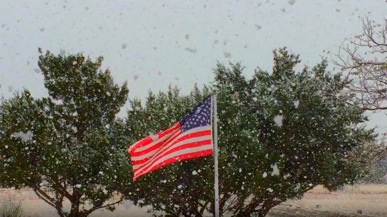
September is already demonstrating signs of approaching climate chaos across North America. Polar vortex weakness creates unstable weather patterns throughout the United States and Canada, causing unusual temperature contrasts and intensified storm activity. Northern U.S. states face anomalously early frost events that typically don’t occur until much later in autumn.
Central regions experience intense thunderstorm activity with elevated tornado potential, connected to unstable jet stream positioning. The Eastern Seaboard remains under threat from hurricane systems developing against the backdrop of temperature anomalies created by disrupted polar vortex circulation patterns.
Changes are particularly noticeable around the Great Lakes region, where cold air masses begin penetrating significantly earlier than usual, creating conditions for powerful lake-effect snow events by late September. The Rocky Mountains also experience premature cooling, with first snowfall occurring several weeks ahead of climatological norms.
Canadian provinces mirror these concerning trends, with the Prairie provinces experiencing unusually early cold snaps and British Columbia facing more frequent Pacific storm systems than typical for early autumn. Atlantic Canada prepares for increased storm activity as disrupted atmospheric patterns direct more weather systems toward the Maritime provinces.
October 2025
October may become the pivotal month in the development of this climate scenario across North America. Forecasts indicate high probability for first serious manifestations of the disrupted polar vortex, including early snowfall 2-3 weeks ahead of schedule and first significant Arctic air outbreaks across northern U.S. states and southern Canadian provinces.
Formation of blocking high-pressure systems over Greenland becomes the key mechanism through which the weakened polar vortex influences mid-latitude weather conditions. These powerful high-pressure areas act as atmospheric dams, redirecting the jet stream southward and opening pathways for massive Arctic air invasions across both the United States and Canada.
Halloween on October 31st may become a historically cold day for many North American regions. Northeastern states could face snow storms and freezing rain, while the Midwest experiences record-low temperatures for October. The Great Lakes region will likely see the first significant snowfall of the season, and even southern states may experience unusual frost and cold rain events.
The forecast for Halloween across different U.S. regions suggests fair skies followed by showers across the Northeast and New England, with similar conditions expected for the Great Lakes, Ohio Valley, and Midwest regions. The Southeast may maintain fair skies, while the North Central states face wet conditions in the Rockies and Plains before clearing. The South Central region anticipates wet weather followed by clearing skies, and both the Northwest and Southwest prepare for unsettled, showery conditions.
In Canada, the situation appears even more dramatic. Prairie provinces brace for heavy snowfall and blizzard conditions, Ontario and Quebec may encounter ice storms, and Maritime provinces expect stormy winds with mixed snow and rain. The forecast suggests showers followed by colder, drier weather across Newfoundland and Labrador, while Nova Scotia, Prince Edward Island, New Brunswick, and Quebec anticipate fair weather transitioning to rain possibly mixed with wet snow, followed by clearing and cold temperatures.
November 2025
November may become the month when sudden stratospheric warming occurs – one of the most powerful climate phenomena in Earth’s atmosphere. This event characterizes rapid temperature increases in the stratosphere of 40-50 degrees Celsius within just a few days, leading to complete stratospheric polar vortex collapse.
The mechanism of stratospheric warming resembles an explosion in the upper atmospheric layers. Powerful planetary waves generated in the troposphere by mountain ranges and temperature contrasts propagate upward into the stratosphere, where they interact with the polar vortex. Under certain conditions, these waves can literally tear the stratospheric vortex apart, causing rapid warming and circulation changes.
Consequences of such events propagate downward through the entire atmospheric column over several weeks. Powerful blocking high-pressure systems form over the Arctic, pushing Arctic air from polar regions into mid-latitudes across both the United States and Canada. Results include temperatures 15-25 degrees below normal lasting for weeks, record snowfall in unexpected locations, and potential energy crisis due to extreme heating demands.
Thanksgiving week weather presents a meteorological mixed bag across North America. Light snow and rain could complicate travel plans across central and eastern United States, but many areas should see clearing skies just in time for holiday celebrations. However, if stratospheric warming peaks during late November, traditional travel routes may become impassable due to unexpected snowfall in southern states where infrastructure isn’t adapted to such conditions.
Winter 2025-2026: New Climate Reality for North America
The approaching winter may become one of the most extreme in modern North American history. The combination of all unfavorable factors creates a perfect storm for exceptionally harsh conditions across both the United States and Canada. Powerful stratospheric warming continuing over the South Pole also influences global atmospheric circulation, amplifying effects throughout the Northern Hemisphere.
Northern U.S. states prepare for one of the coldest winters in history, with temperatures potentially dropping to extreme values and remaining at such levels for weeks. Central regions face massive snowfall and destructive ice storms. Even southern states, including Florida and Texas, may experience unusual and prolonged freezing conditions that could devastate unprepared infrastructure and agriculture.
Energy systems will face unprecedented pressure due to extreme heating demands. Older infrastructure may not withstand the load, leading to power outages during the most critical moments. Transportation systems also encounter serious problems as record snowfall and ice storms paralyze movement on roads and in airports throughout much of the continental United States.
The situation in Canada will be even more severe. The entire country will experience an exceptionally cold winter, with Prairie province temperatures dropping to -50°C and below. Eastern provinces face record snowfall amounts, while Arctic territories experience extremely low temperatures even by their harsh standards.
Regional Cold Weather Breakdown for Fall 2025
The Northeast and New England regions should prepare for a dramatic departure from typical autumn weather patterns. Early October may bring the first significant snow to higher elevations, with valley locations experiencing unusually early frost events. The combination of weakened polar vortex conditions and developing La Niña patterns suggests frequent Arctic air outbreaks beginning in mid-October, creating conditions more typical of December weather.
Great Lakes states face particularly challenging conditions as lake-effect snow machinery starts operating earlier than usual. Cooler lake temperatures combined with Arctic air masses create perfect conditions for heavy, localized snowfall that could accumulate rapidly across traditional snow belt regions. Wind patterns associated with displaced polar vortex positioning may also create unusual lake-effect trajectories, potentially affecting areas that typically see less snow.
Midwest agricultural regions confront early harvest challenges as temperatures drop sooner than anticipated. Corn and soybean crops may face premature freezing conditions, while livestock operations need earlier preparations for extended cold periods. The combination of early cold and potentially heavy snowfall creates significant concerns for rural communities throughout the heartland.
Southeast states, typically insulated from early cold weather events, may experience unprecedented early season frost and freezing conditions. Agriculture across Georgia, Alabama, and the Carolinas faces threats from unseasonably cold temperatures that could damage late-season crops and unprepared vegetation. Even Florida’s northern counties may see frost events occurring weeks ahead of normal timing.
Canadian Regional Impacts and Cold Weather Scenarios
Prairie provinces across Manitoba, Saskatchewan, and Alberta prepare for what could become a legendary cold weather season. Early season Arctic high-pressure systems may establish themselves over the region by mid-October, bringing sustained cold that typically doesn’t arrive until November or December. Agricultural operations face accelerated timelines for crop harvesting and livestock preparations.
Ontario and Quebec regions anticipate increased frequency of ice storms as warm, moist air from the south collides with established Arctic air masses. The combination creates perfect conditions for freezing rain events that can paralyze transportation networks and cause widespread power outages. Urban centers like Toronto and Montreal may experience multiple significant ice events throughout the autumn and early winter period.
British Columbia’s typically mild coastal climate may face disruption as altered jet stream patterns direct more Arctic air southward along the coast. Mountain regions prepare for exceptional early season snowfall that could establish deep snowpack weeks ahead of normal timing. Avalanche risks may increase significantly due to unstable snow layers forming under rapidly changing temperature conditions.
Maritime provinces brace for intensified storm activity as altered atmospheric patterns direct more powerful weather systems through the region. The combination of colder air masses and enhanced storm tracks creates conditions for significant snow and ice events, potentially beginning in November rather than the typical December timing.
Monitoring and Forecast Updates
Meteorological monitoring systems operate at maximum capacity to track the evolving situation. Stratospheric analysis receives particular attention as scientists watch for signs of imminent sudden warming events. Computer models run multiple scenarios daily, attempting to pinpoint timing and intensity of major pattern changes.
Early warning systems across both the United States and Canada prepare for activation as conditions warrant. Emergency management agencies coordinate preparation efforts while utility companies stockpile equipment and personnel for extended deployment periods.
The situation demands constant vigilance as small changes in timing or intensity could significantly impact regional outcomes. Public awareness campaigns emphasize the importance of personal preparation while communities develop mutual aid networks for extended emergency periods.

Gleb Perov is the founder and chief meteorologist of POGODNIK, a leading weather forecasting service in Eastern Europe. With over 15 years of hands-on experience in meteorology and climate analysis, he has worked private weather services.
Gleb is the author of numerous scientific and analytical publications on climate, magnetic storms, and atmospheric processes. He regularly collaborates with major international agencies such as NOAA, ECMWF.


