Storm Antoni Brings Disruptive Weather to the UK
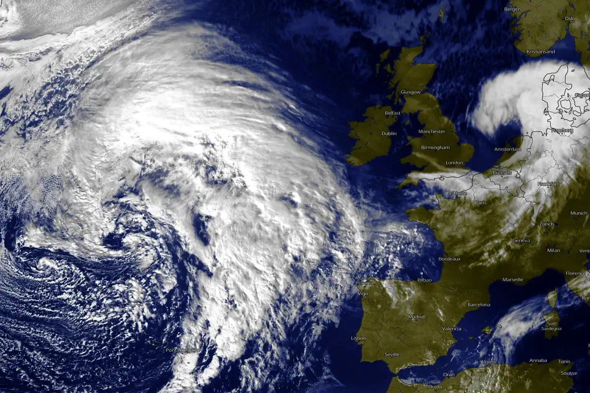
Hello, everyone! We've got some stormy news to share as Storm Antoni makes its presence felt across much of the UK today. This marks the first named storm since February, and it's not holding back. Strong winds and heavy rain are causing disruptions in various places. But let's take a closer look at what's in store for the coming days.
As we move into tomorrow, the weather takes on a more showery pattern, although the cool conditions persist. However, there's a glimmer of hope on the horizon. We're spotting signs of a potential warm-up next week, at least for a little while.
Let’s dive into the detailed forecast discussion:
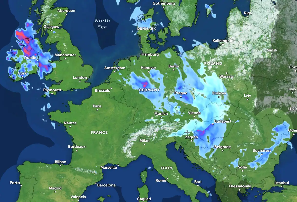
Starting off on Saturday, much of England, Wales, and Northern Ireland will experience a wet kickstart. Meanwhile, Scotland is in for a drier spell, although scattered showers might still pop up.
Throughout the day, those heavy bouts of rain gradually transform into more scattered showers. In the afternoon, expect brighter spells to develop in areas like south-western England, western Wales, and Northern Ireland. Scotland should see some drier periods with less concentrated showers. But hold on tight, as winds are expected to pick up, especially in the south-west. Coastal areas might witness gusts of up to 70mph, and the combination of strong winds and heavy rain could lead to some disruptions.
Let's talk temperatures. We're looking at a range from 11°Celsius in the far north to 19°Celsius in the south-east.
As we head into the night, those showery outbreaks of rain will bid adieu, moving away from most of the UK. Clearer skies will follow, though East Anglia might still experience some rain by morning, and western areas might see more showers. The winds will gradually ease up as Storm Antoni departs.
Tomorrow brings a mix of sunny spells and widespread, heavy showers. The blustery and cool conditions stick around, with maximum temperatures hovering close to 20 Celsius in the south.
Now, let’s discuss the potential changes on the horizon:
Monday morning sets the stage with widespread showers, but as the afternoon unfolds, they'll become more focused on the north and east. Cloudier skies will build over southern Britain, and later on, we can expect outbreaks of rain to move into the south-west. Temperatures will stay a bit below the August norm.
Looking towards Tuesday, we're in for a mixed bag. A patchy band of rain is set to move northeastwards. By early evening, it's likely to affect northern England and southern Scotland, with the west experiencing the heaviest bursts of rain. Breezy and rather cool conditions will prevail.
Stay tuned for more updates, and remember to subscribe to our weather channel to stay informed about the ever-changing UK forecasts.
Chief forecaster and ideologist of the weather forecast service Pogodnik. Co-author of scientific articles and specialized content for various online media.


