A Winter Storm to Blanket Europe in the Coming Days

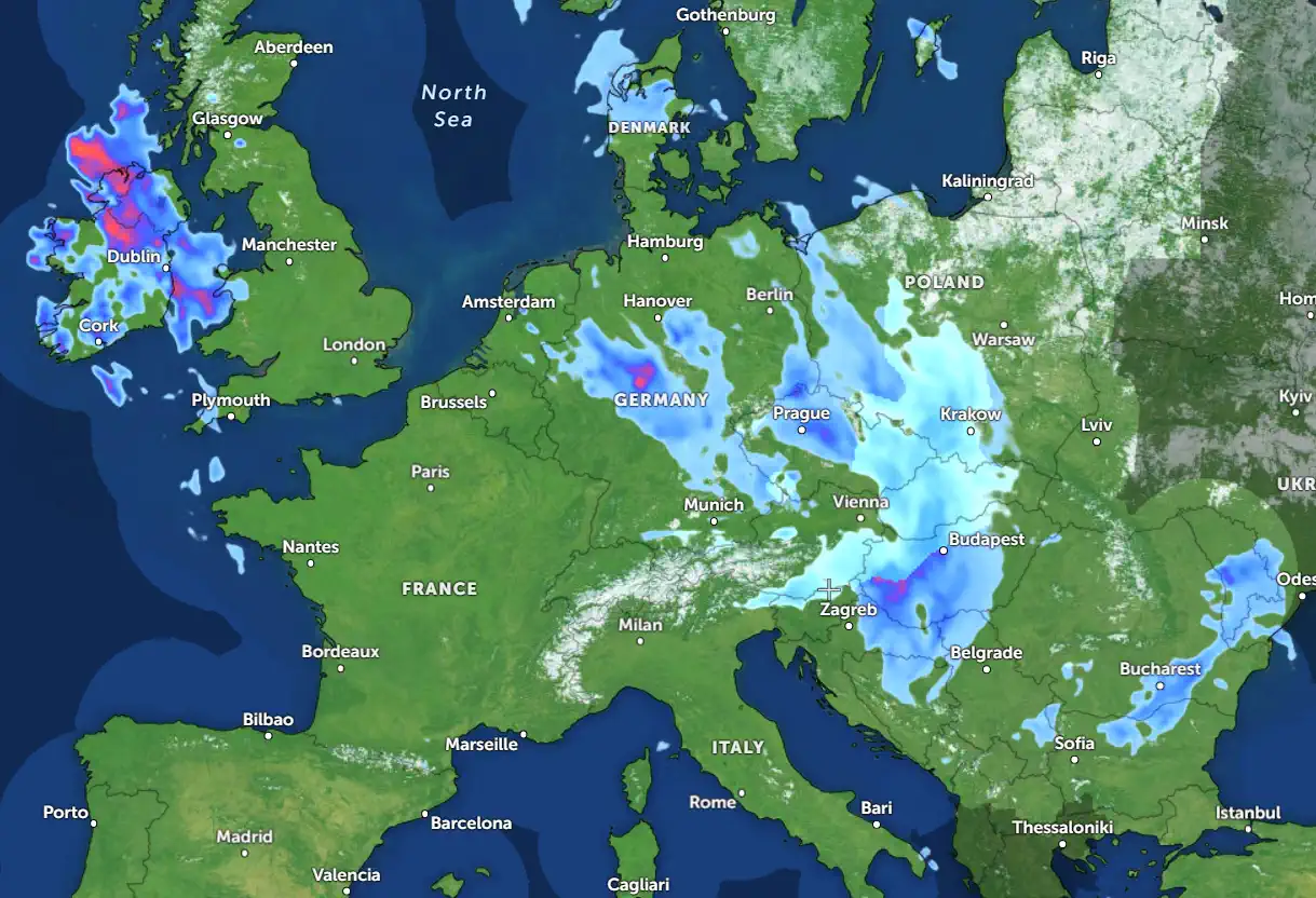
Western and Central Europe are bracing for a powerful winter storm expected to unfold this weekend. A dynamic weather system, accompanied by heavy snowfall, rain, and strong winds, will disrupt normal life across a significant portion of the continent. This storm will even impact southern regions, presenting notable challenges for residents and infrastructure.
Atmospheric Dynamics: The Driving Forces Behind the Storm
Europe's weather remains highly dynamic, fueled by active cyclonic processes over the North Atlantic. A blocking high-pressure system over the Atlantic will facilitate the intrusion of cold Arctic air deep into southern Europe. This scenario creates ideal conditions for the development of a major winter storm.
Starting on Friday, December 6, the storm will originate in the west, hitting Ireland and the UK before progressing across Benelux, Germany, France, and the Alps over the weekend. Heavy snowfall, rainfall, and gale-force winds will accompany its passage.
Initial Impacts of the Storm
On Friday, the storm system will reach Ireland, with its central pressure dropping to approximately 980 hPa. Southern parts of the UK will experience gale-force winds of 90–120 km/h and heavy rainfall, while northern Scotland may see wet snow.
By Saturday, the storm will intensify, with central pressure falling below 975 hPa. This will bring severe weather to Belgium, the Netherlands, and northern France, causing significant disruptions to transportation and infrastructure.
Snowfalls and Arctic Air Intrusion
Heavy snowfall is set to be one of the storm's most significant impacts. Cold air from the Arctic will penetrate as far south as Spain and France, with substantial snow expected in the highlands of the Pyrenees and Alps. Regions in Switzerland, Austria, and Slovenia may receive 30–50 cm of snow or more.
Over the weekend, the cold front will move towards the northern Balkans. By Monday, snowfall will spread across the Czech Republic, Slovakia, and southern Germany, blanketing the region in a fresh coat of snow.
Secondary Cyclone: The Alps and the Mediterranean
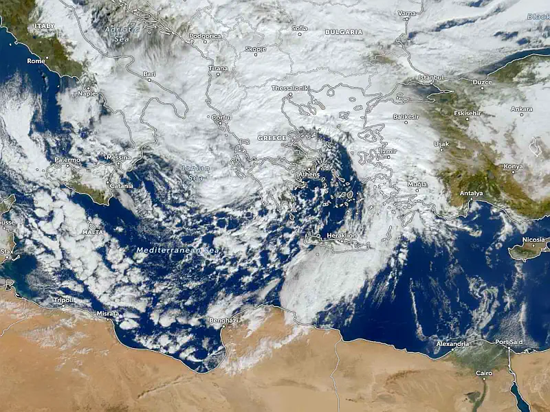
A secondary low-pressure system is forecast to develop south of the main cyclone, over the northern Mediterranean. This will amplify snowfall in the Alps and parts of the northern Balkans. Particularly intense precipitation is expected in Slovenia and Austria.
By Monday, the system will begin to weaken, moving southeastward, but snow will persist in higher-altitude regions.
A Chilly Week Ahead for Europe
The coming week will remain cold across much of Europe. Spain, Portugal, and France will experience the coldest anomalies, with temperatures falling 5–8°C below the seasonal average. These conditions will persist until Wednesday in many areas.
Disruptions to Transport and Infrastructure
This winter storm is expected to cause widespread travel disruptions. Airports in Germany, France, and the UK may face delays or cancellations. In mountainous regions, heavy snowfall could lead to blocked roads and hazardous conditions.
Advice for Residents
Prepare for severe weather: Check heating systems, stock up on food and water.
Limit travel: Avoid non-essential trips to reduce risks.
Stay informed: Follow updates from official weather services.
The next few days will test the resilience of Europe's residents. However, careful preparation and adherence to safety advice can mitigate the risks posed by this significant weather event.
Stay updated and learn more about the forecast to ensure safety during this challenging period.
Chief forecaster and ideologist of the weather forecast service Pogodnik. Co-author of scientific articles and specialized content for various online media.


