A strong cyclone is approaching the UK from the Atlantic - Storm Conall

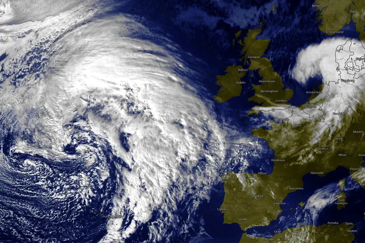
The UK will face a strong cyclone formed over the Atlantic in the coming days. According to forecasters, the system will bring strong winds, heavy rain and the possibility of localized flooding.
What is known about the cyclone
The cyclone, known as "Storm Conall", was named on November 26, 2024 and is already causing strong winds and rainfall in western Europe. It formed as a result of deep cyclogenesis, supported by warm, abnormally warm waters of the Atlantic.
Meteorological conditions:
Wind speeds on the coast of southwest England can reach 80-100 km / h.
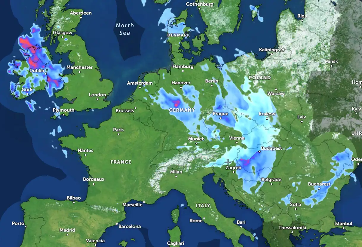
Heavy rainfall of up to 50mm is expected in some areas, increasing the risk of flooding.
Impact on the UK:
Southern and western England and Wales will be affected by the cyclone.
Transport disruptions are likely, particularly to rail and air services.
Weather warnings
Amber alerts have been issued for wind and rain in the southwest. The Met Office advises caution and avoidance of non-essential travel during the peak of cyclone.
What to do
Prepare for possible power outages.
Check drainpipes to avoid flooding.
Travellers should check the status of flights and trains in advance.
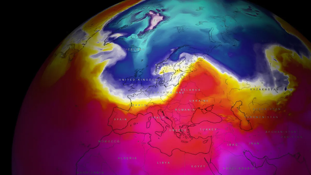
This cyclone is part of a general trend of increased storm activity in the Atlantic this season due to abnormally warm waters and strong westerly winds. Stay tuned to the Met Office and other resources for updates.
Founder and chief forecaster of the Pogodnik service. He has many years of experience in the meteorological service. He is the author of numerous scientific publications and popular articles about the weather.


