California Blizzard Brings Chaos and Danger : shuts down roads and ski resorts
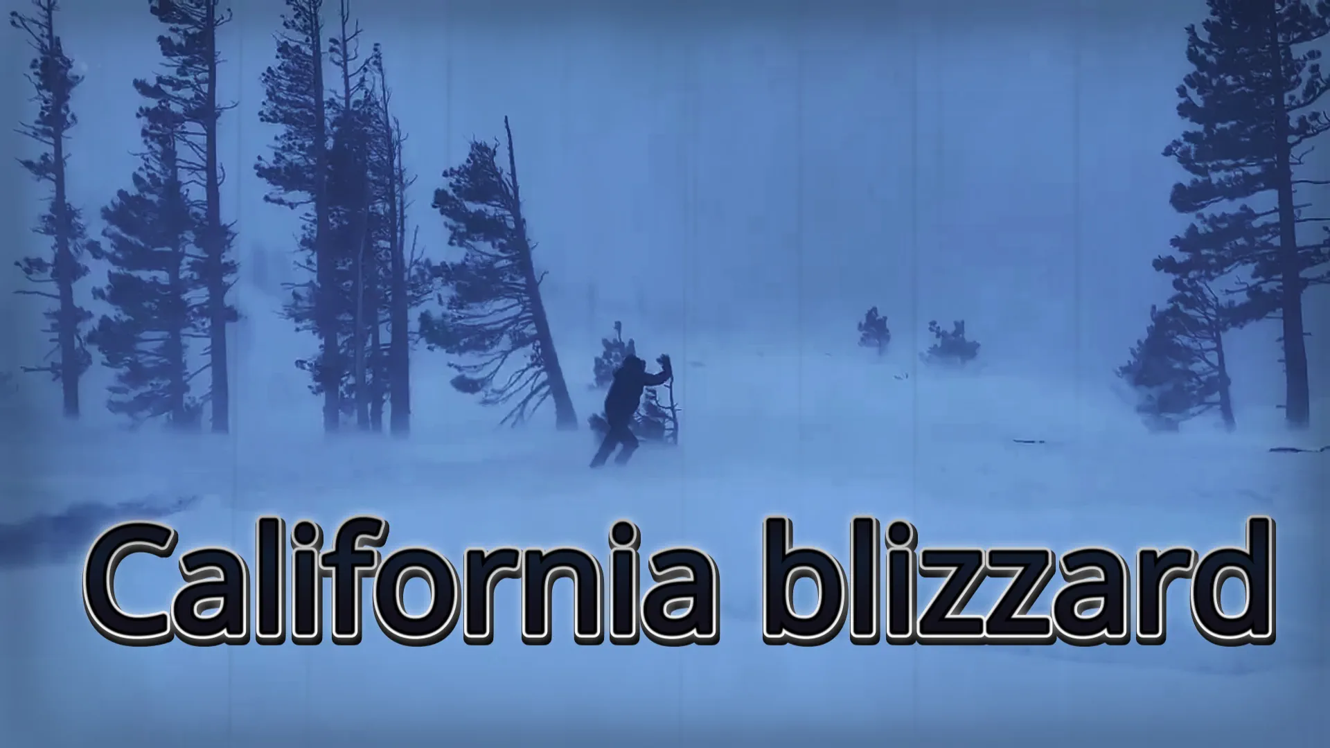
Over the weekend, California was slammed by a powerful blizzard that wreaked havoc across the Sierra Nevada mountain range. This formidable weather event, known for its combination of dry, powdery snow and fierce winds, even included lightning strikes. At its peak, the blizzard unleashed staggering snowfall rates of up to 152 mm per hour and gusts reaching a staggering 190 mph.
By Saturday morning, the Mammoth Mountain ski area had already received 0.6 meters of snow, prompting its closure for safety reasons. The National Weather Service didn't mince words, describing the situation as life-threatening. As the night wore on, the snowfall persisted, with accumulations reaching a staggering 3.7 meters in the highest elevations by Sunday morning.
Warnings for extreme avalanches blanketed the greater Tahoe region until the afternoon, urging residents to stay indoors and avoid unnecessary risks. While conditions may appear calmer at the start of the week, the looming threat of further snowfall on Wednesday looms overhead.
Northern California communities bore the brunt of the blizzard's impact, with the Sierra Nevadas facing relentless onslaught starting Thursday. High-elevation areas were buried under heaps of snow, accompanied by destructive hurricane-like winds.
The Weather Prediction Center issued a dire warning on Saturday, citing "extremely heavy snowfall rates" of 2-6 inches per hour, coupled with winds exceeding 100 mph, which would maintain treacherous travel conditions in the Sierra Nevada.
The Saffir-Simpson Hurricane Wind Scale, a measure of storm intensity, classified sustained wind speeds between 96 and 110 mph as Category 2, signifying "extremely dangerous" conditions capable of causing extensive damage.
Founder and chief forecaster of the Pogodnik service. He has many years of experience in the meteorological service. He is the author of numerous scientific publications and popular articles about the weather.


