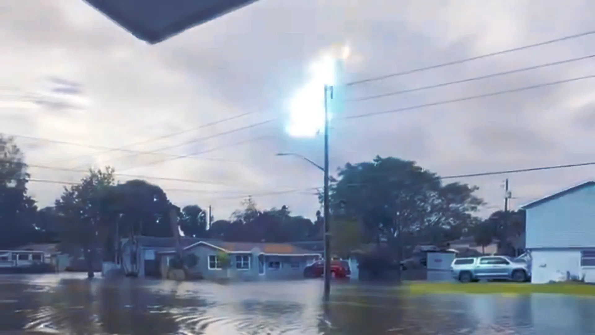
The storm drenches Florida and moves up the East Coast, creating conditions for a bomb cyclone.
A fierce late-year storm hammered the East Coast on Sunday, December 17, unleashing heavy rains and strong winds that shattered rainfall records and disrupted holiday festivities. South Carolina's town, Georgetown, witnessed dramatic water rescues as floodwaters stranded numerous motorists. Record-breaking rainfall, exceeding 9 inches between Charleston and Myrtle Beach since late Saturday, created chaos. The tide in Charleston Harbor reached its fourth-highest level on record.
The storm, anticipated to intensify, traced a path along the Georgia and Carolina coasts before advancing to New England by December 18. Wind gusts of 35-45 mph posed tree-fall risks on saturated ground. Charleston and South Carolina's Lowcountry faced numerous road closures, with stranded cars lining the streets. Fortunately, there were no reported injuries or deaths in Georgetown County. Florida bore the brunt with up to 5 inches of rain, prompting street inundation and the cancellation of holiday events. Power outages soared, exceeding 31,000 in South Carolina, 14,000 in North Carolina, and 11,000 in Florida.
This powerful storm, featuring gale-force winds and flooding, raised concerns about a potential bomb cyclone, intensifying rapidly along the mid-Atlantic and New England coasts. Meteorologists warned of significant damage as strong winds propelled water from the Atlantic toward the shoreline, coupled with heavy rainfall.
Founder and chief forecaster of the Pogodnik service. He has many years of experience in the meteorological service. He is the author of numerous scientific publications and popular articles about the weather.

