Lake Effect Snow in the United States
Northeast covered by almost 40 inches of lake-effect snow as drivers battle harsh conditions.
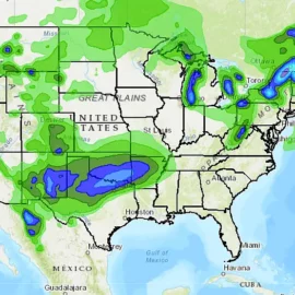
Cities across the Northeastern US saw several feet of lake-effect snow this week, wreaking havoc on roads and shutting down schools across the region. New York, saw the most snow, with 42.7 inches blanketing the town.
Northeastern residents might want to get used to heavy snowfall and treacherous roads more often, though, as research suggests a warming climate may temporarily increase the amount of lake-effect snow that hits the region each year.
Lake-effect snow falls when cold air from Canada moves across the Great Lakes, forming clouds that can produce two to three inches of snow per hour.
Warmer temperatures mean the lakes would remain warmer and ice-free for longer — so when that cold air arrives from Canada, the Lake Snow Effect could become more severe and dump even more snow on the northeastern US.
And with the Earth temporarily crossing the 2C warming milestone this summer — a rise in temperature that, if permanent, could mean extreme heatwaves, drought and water stress for large portions of the planet — more severe Lake Effect Snow could be right around the corner.
Founder and chief forecaster of the Pogodnik service. He has many years of experience in the meteorological service. He is the author of numerous scientific publications and popular articles about the weather.


