Thanksgiving Chaos: Record Snowfall Paralyzes Great Lakes Region, Millions Affected

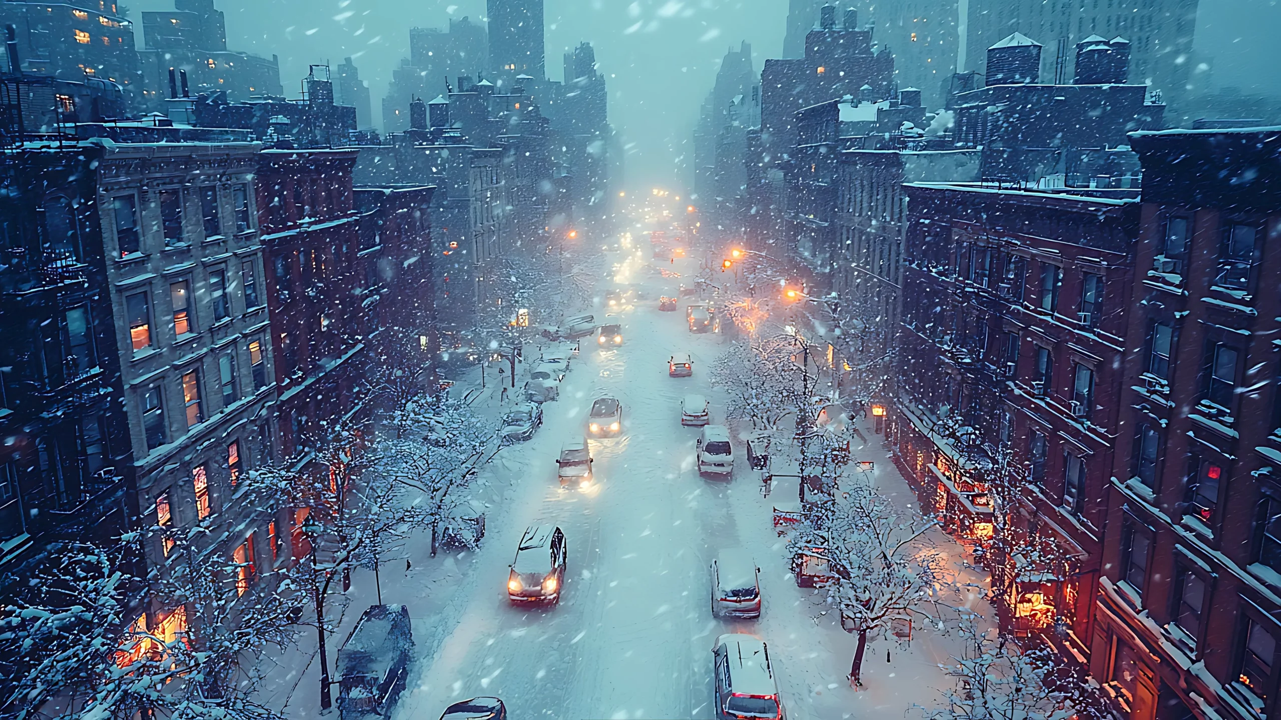
A historic lake-effect snowstorm over Thanksgiving weekend unleashed its fury across the Great Lakes region, burying parts of New York, Pennsylvania, Michigan, and Ohio under staggering snow accumulations. Fueled by unseasonably warm lake waters colliding with Arctic air, the storm produced relentless snowfall, leaving communities grappling with record-breaking conditions and widespread disruptions.
Record-Breaking Snowfall
The storm brought unprecedented totals:
- Erie, Pennsylvania: Broke its single-day snowfall record with 57.4 cm (22.6 inches) on Friday, November 29, and surpassed 61 cm (2 feet) by Saturday.
- Saybrook, Ohio: Buried under a massive 124 cm (49 inches) of snow by Sunday.
- Barnes Corners, New York: Recorded 117 cm (46 inches) near Lake Ontario's eastern shores.
Communities downwind of the Great Lakes were hammered with snowfall rates of up to 10 cm (4 inches) per hour, creating blizzard-like conditions and reducing visibility to nearly zero.
Travel Chaos and Emergency Declarations
The relentless snowstorm forced states of emergency across New York, Pennsylvania, and Michigan:
- Interstate Closures: Major highways like I-90 and I-86 were shut down, with New York and Pennsylvania implementing commercial travel bans to clear roadways. Over 100 vehicles were towed in Dunkirk, New York, as plows struggled to keep Route 5 open.
- National Guard Activation: Pennsylvania deployed its National Guard to rescue stranded motorists and assist emergency responders.
- Warnings in Effect: Nearly 2.9 million residents remained under Lake-Effect Snow Warnings through Monday, December 2.
Erie County, Pennsylvania, declared a snow disaster as neighborhoods like North East reported accumulations exceeding 110 cm (43 inches). Authorities warned residents to avoid travel except for emergencies.
Michigan and Ohio: Buried in White
Michigan's Upper Peninsula wasn't spared, with towns like Gaylord and Sault Ste. Marie seeing totals of 85.9 cm (33.8 inches) and 66.5 cm (26.2 inches), respectively. In Ohio, multi-vehicle accidents east of Cleveland added to the chaos as Interstate 90 saw continuous closures.
What’s Next? More Snow on the Horizon
Meteorologists predict the lake-effect snowstorm will persist until midweek:
- Additional Snowfall: Up to 30 cm (1 foot) of snow is expected in Michigan's Upper Peninsula, with parts of New York likely receiving another 15–25 cm (6–10 inches) by Wednesday.
- Arctic Air Intrusion: Cold air from Canada interacting with record-warm Great Lakes continues to fuel snowfall.
Chief forecaster and ideologist of the weather forecast service Pogodnik. Co-author of scientific articles and specialized content for various online media.


