Category 2 Typhoon Man-Yi Threatens Hong Kong

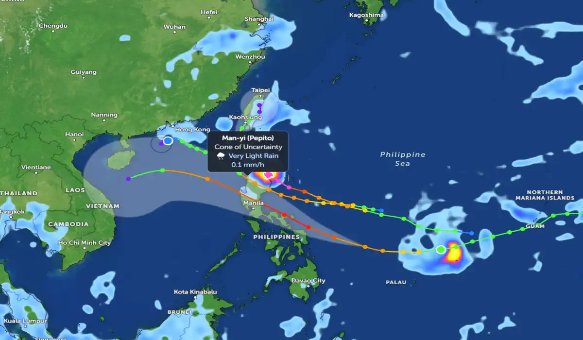
Category 2 Typhoon Man-Yi continues to move through the South China Sea, threatening Hong Kong and neighboring regions with heavy rains, strong winds and a dangerous storm surge.
According to the Hong Kong Observatory, as of the morning of November 14, Man-Yi was located about 450 km southeast of the city and moving northwest at a speed of 20 km/h. Maximum sustained wind speeds near the center of the typhoon reach 165 km/h, with gusts up to 200 km/h.
Meteorological situation
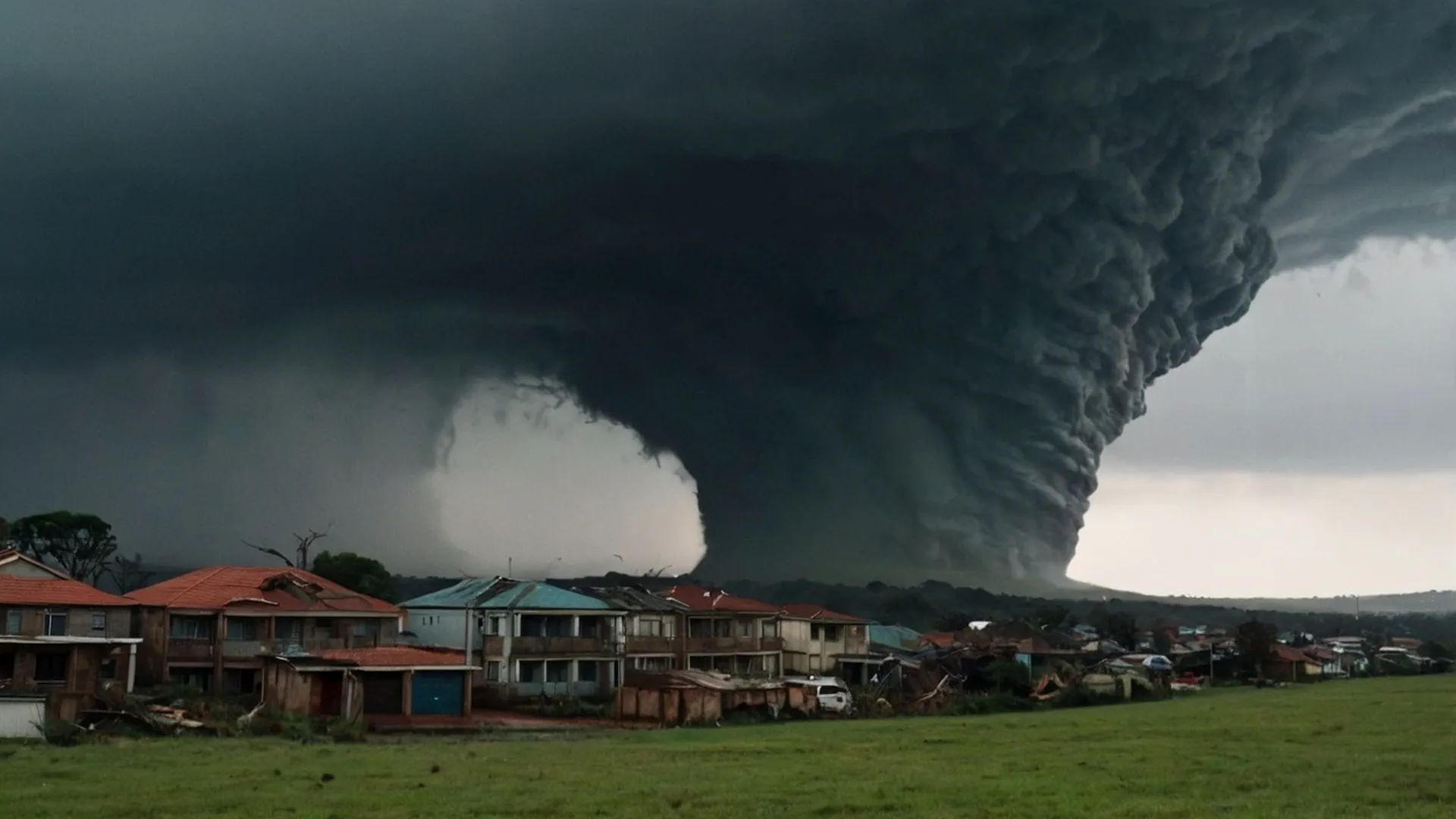
The typhoon formed in the western Pacific Ocean on November 10 and strengthened to Category 2 by November 13. Typhoon Man-Yi is accompanied by a massive cloud field, creating conditions for prolonged rainfall and strong winds at large distances from its center.
The typhoon is expected to pass near Hong Kong in the next 36 hours, possibly strengthening to Category 3 before weakening. The impact of Man-Yi will be most noticeable on November 15, when heavy rainfall of up to 150–200 mm is forecast, which could cause localized flooding and landslides.
Impact on Hong Kong
1. Wind and storm surge
Coastal wind gusts of 100-120 km/h are expected. A storm surge with a sea level rise of 1-2 metres above mean tide is possible. Low-lying areas such as Kowloon and the New Territories are particularly at risk.
2. Rainfall and flooding
Heavy rainfall forecast for Hong Kong and nearby areas may cause flooding of roads and infrastructure. Residents in mountainous areas have been warned of a high risk of landslides.
3. Flights and transport
Hong Kong International Airport is bracing for widespread flight cancellations and delays. Ferry services and commuter rail services may also be suspended depending on weather conditions.
Advice for residents
Follow the warnings and advisories issued by the Hong Kong Observatory.
Prepare for power and water outages.
Residents in coastal and mountainous areas should evacuate at the first sign of danger.
Car owners should avoid driving during the typhoon.
Forecast for the next 24 hours Hong Kong
Typhoon Man-Yi will continue to move northwest and pass 100-150 km southwest of Hong Kong. Its intensity may decrease after interaction with land, but it will remain dangerous until November 16.
Residents in the region should remain vigilant and prepared for any unexpected changes in weather conditions.
Chief forecaster and ideologist of the weather forecast service Pogodnik. Co-author of scientific articles and specialized content for various online media.


