Lewotobi Laki Laki Volcano Erupts, Sends Ash 16.7km Above Sea Level in Indonesia

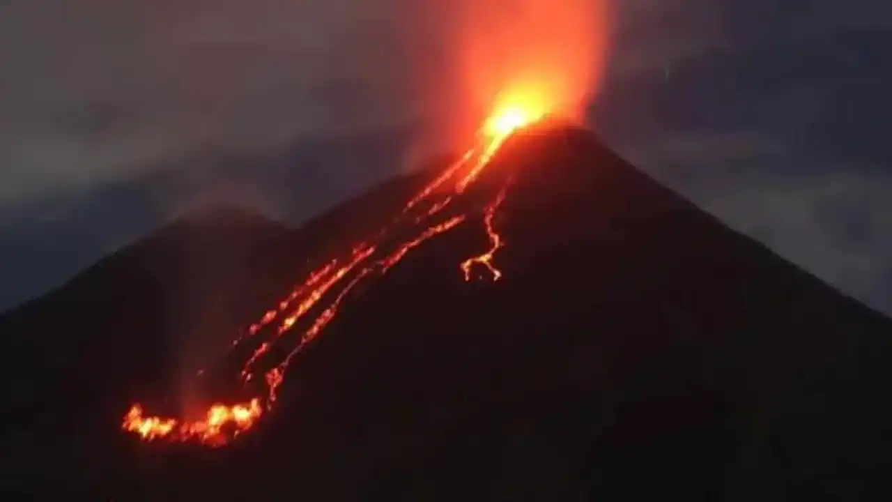
On November 7, 2024, Indonesia's Lewotobi Laki Laki Volcano erupted in a powerful eruption, sending a dense column of volcanic ash an impressive 16.7km (55,000ft) above sea level. This powerful event was the latest in a series of eruptions that began to intensify in late October, including the deadly eruption on November 3, which tragically killed nine people and destroyed more than 2,000 homes with lava bombs.
Eruption details
The November 7 eruption began with a new series of explosive activity at 22:49 UTC on November 6 (05:49 local time on November 7), with eruptions intensifying by the following morning. By 04:50 UTC, a huge ash cloud had spread across the region, significantly reducing visibility and creating hazardous conditions as pyroclastic flows rapidly moved down the volcano's slopes.
Pray for Lewotobi 🥹😢
Gunung Lewotobi Laki-laki di Nusa Tenggara Timur kembali menunjukkan aktivitas vulkaniknya dalam letusan dahsyat pada pukul 12.00 malam tadi. Let's not forget that we are going to have to fight for our lives, but we are going to have to do something… pic.twitter.com/ZOIKdwaYkb
— BACOT (@bacottetangga__) November 4, 2024
According to a statement released by the Darwin Volcanic Ash Acquisition Centre (VAAC) in By 05:10 UTC, the ash cloud had reached 16.7 km (55,000 ft) in altitude and was drifting south with lateral dispersion to both the east and west. Volcanic ash was also reported to have reached 7.3 km (24,000 ft) above sea level, moving southwest.
Volcanologist Yohanes Kolli Sorivutun of Indonesia's PVMBG described the ash column as a thick brown plume extending southwest, west, and northwest, noting: "The eruption was ongoing as of 05:48 UTC (10:48 LT), with intense ash fall in the affected areas." The aviation colour code remains red, indicating that volcanic activity poses a high risk to air traffic, and the alert level remains at its highest level, 4 out of 4.
Satellite Observations
Satellite images taken by JMA/Himawari-9 at 04:50 UTC give a striking view of the ash plume extending from Lewotobi Laki-laki. Additional satellite data shows sulfur dioxide emissions accompanying the ash cloud, posing a risk to the environment and health of nearby communities.
Evacuations and Long-Term Impacts
Following the deadly eruption on November 3, Indonesian authorities issued evacuation orders for 16,000 residents within 7 km of the crater. On November 6, officials announced that thousands of those affected would be permanently relocated, although exact numbers have yet to be confirmed. These relocation efforts reflect the ongoing danger and instability in the area as Lewotobi Laki-laki continues its phase of increased activity.
The eruption highlights the significant challenges of volcanic monitoring and disaster management in Indonesia, a region known for its active volcanic landscape within the Pacific “Ring of Fire.” As Lewotobi Laki-laki remains active, authorities continue to prioritize safety measures for residents and provide real-time updates to air traffic controllers due to the ongoing ash hazard.
Founder and chief forecaster of the Pogodnik service. He has many years of experience in the meteorological service. He is the author of numerous scientific publications and popular articles about the weather.


