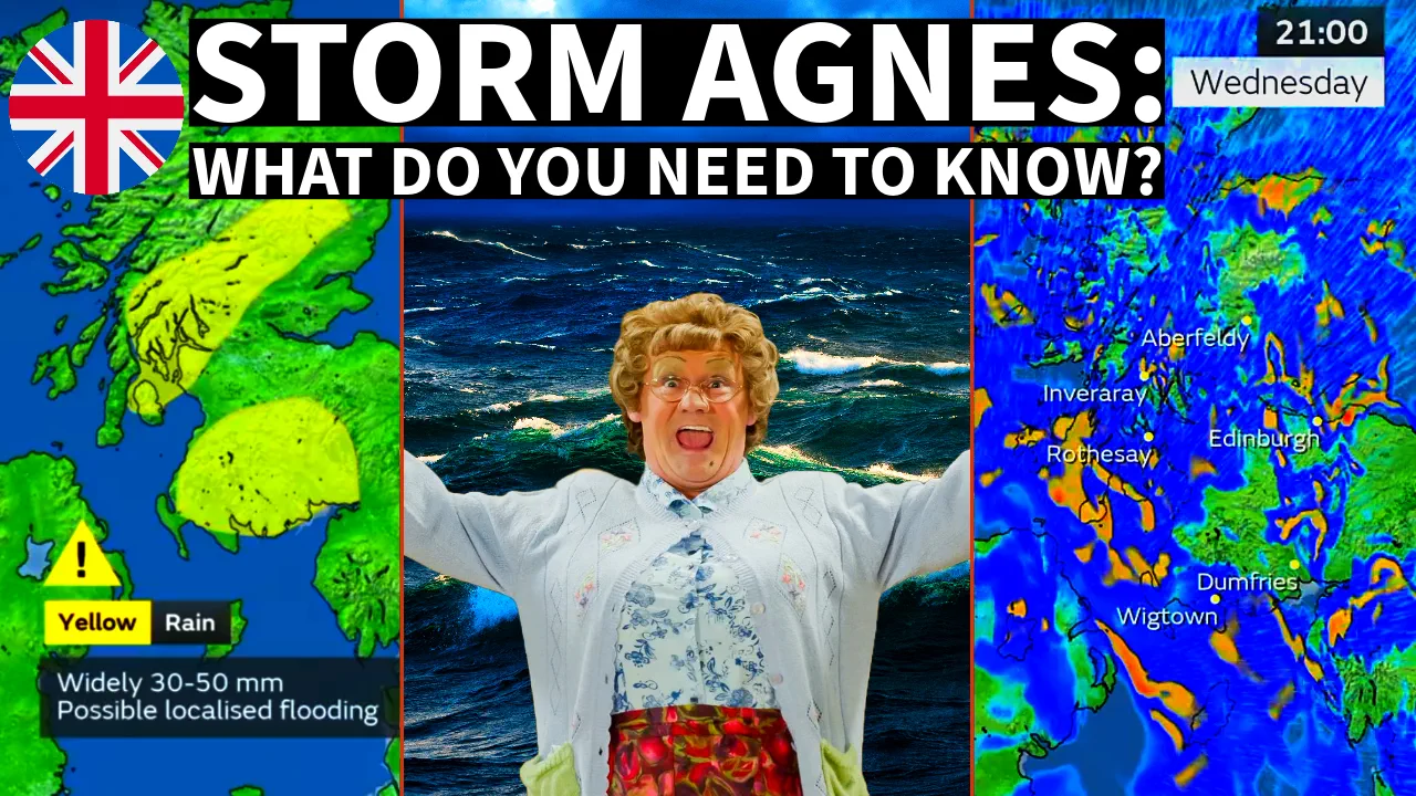
Shocking Revelations About Storm Agnes You Won't Believe!
The North Atlantic has been incredibly active this month, with a series of storms impacting Western Europe. Meanwhile, in the tropical region, several powerful hurricanes have formed. The latest storm, Ophelia, has just struck the U.S. East Coast and is now transitioning into an extratropical storm. Its path is set to take it towards Ireland and the UK, where it will arrive as a potent windstorm named Agnes on Wednesday.
Forecast models for wind and rainfall tracks indicate that the remnants of Ophelia will regain strength as they traverse the North Atlantic. The combination of extremely warm sea waters and interaction with cold air from the north will fuel its transformation into a formidable extratropical storm named Agnes.
Pressure forecasts for Monday and Tuesday nights over the North Atlantic illustrate the rapid development expected in this extratropical storm. As ex-Ophelia moves away from the Northwest Atlantic, it will intensify into the powerful storm Agnes by the time it approaches Western Europe on Tuesday night and Wednesday morning.
With a substantial low-pressure system, a cold air mass to the north, and its origins in the tropics, Agnes will intensify quickly and develop a warm seclusion, making it the most intense autumn storm to date.
Agnes is projected to track across the Bay of Biscay from Tuesday into Wednesday night, posing a threat to shipping in this region during its intensification phase.
As it nears the coastal areas of Ireland and the UK, peak wind gusts could reach a staggering 150-170 km/h on Wednesday morning. Additionally, the system's deep central pressure will generate significant wave heights, with maximum heights of approximately 10 meters expected before the storm reaches the southern coast of Ireland and the southwest UK. The highest waves are anticipated from Tuesday night through Wednesday morning.
While the general consensus among weather models indicates that the heaviest rainfall will remain west of Ireland, it's essential to stay vigilant. Agnes is expected to traverse the central British Isles on Wednesday, gradually weakening as it moves into the North Sea by Thursday.
Prepare for gale force winds on Tuesday night, and brace for potentially significant impacts with violent gusts and squalls as storm Agnes slams into Ireland and the southwestern UK throughout Wednesday. Stay safe and stay informed.
Chief forecaster and ideologist of the weather forecast service Pogodnik. Co-author of scientific articles and specialized content for various online media.


