Landfall

Atmospheric Rivers

Atmospheric Rivers Threaten Pacific Northwest and Northern California with Heavy Rainfall

The Pacific Northwest and Northern California are preparing for a significant weather event as two atmospheric rivers are set to bring extensive rainfall and potential flooding from November 10 to 14, 2024. Meteorologists are closely monitoring these powerful moisture-laden systems that could create substantial environmental challenges for the region.

Atmospheric Rivers Threaten Pacific Northwest and Northern California with Heavy Rainfall Read Post »

Hurricane Rafael

Hurricane Rafael: Impact on Cayman Islands and Approach Toward Cuba

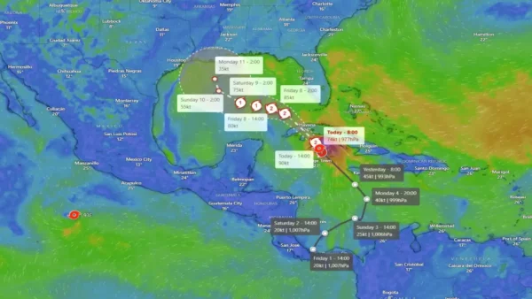
On Tuesday night, Hurricane Rafael made landfall over Little Cayman, bringing torrential rain, powerful winds, and rough seas to the Sister Islands. Initial assessments by emergency teams on Little Cayman and Cayman Brac are set to begin early Wednesday as recovery efforts are underway. Power outages swept across both islands as emergency responders braved the harsh conditions to assist residents.

Hurricane Rafael: Impact on Cayman Islands and Approach Toward Cuba Read Post »

Super Typhoon Kong-rey

Super Typhoon Kong-rey Bring Record Rains to China and Threaten Japan with Flooding and Landslides

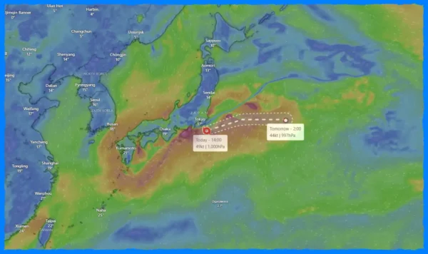
The remnants of former Super Typhoon “Kong-rey” are wreaking havoc across East Asia, particularly in China and Japan. After making landfall in Taiwan, where it left a tragic toll of three fatalities and over 500 injuries, Kong-rey has since transformed into an extratropical low, continuing its destructive path. As it moves away from Taiwan, it has now begun to heavily impact coastal regions of China and poses significant risks of landslides and flooding in Japan.

Super Typhoon Kong-rey Bring Record Rains to China and Threaten Japan with Flooding and Landslides Read Post »

Kong-rey

Typhoon Kong-rey Makes Historic Landfall in Taiwan as Strongest Storm Since 1996

Kong-rey intensified to a Category 4-equivalent super typhoon on October 30, with peak sustained winds reaching 250 km/h (155 mph) before making landfall. At the time of impact in Taitung County, the storm’s central pressure had dropped to approximately 925 hPa, with maximum sustained winds near 184 km/h (114 mph) and gusts hitting 230 km/h (145 mph), according to the Joint Typhoon Warning Center (JTWC).

Typhoon Kong-rey Makes Historic Landfall in Taiwan as Strongest Storm Since 1996 Read Post »

Kong-rey

Typhoon Kong-rey Intensifies: A Threat to Taiwan and the Philippines

As Typhoon “Kong-rey” approaches Taiwan, it is rapidly intensifying and raising significant concerns among meteorologists and residents in the region. Currently located approximately 1,040 kilometers southeast of Taipei, Taiwan, Kong-rey has sustained winds reaching 148 km/h (92 mph) and is moving west-northwest at 13 km/h (8 mph). The forecast suggests a potential landfall on Taiwan’s southeastern coast within the next 48 to 60 hours, with the possibility of a westward shift that could lead to a direct hit on the Batanes Islands in the Philippines.

Typhoon Kong-rey Intensifies: A Threat to Taiwan and the Philippines Read Post »