Long-Range Weather Forecast for Winter 2024: December Outlook

As December approaches, global weather models predict significant changes in atmospheric patterns that will shape the start of winter across North America, Europe, and parts of Asia. Here's a detailed meteorologist-style analysis of expected weather trends and anomalies.
Key Drivers of Winter Weather
Cross-Polar Flow:
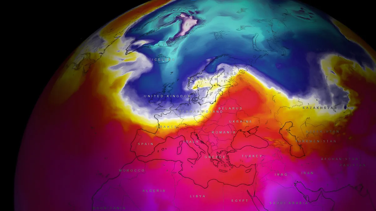
A strong cross-polar flow is forecasted to dominate the early winter period. This pattern facilitates the direct transport of Arctic air across the polar regions into North America and Europe, increasing the likelihood of below-average temperatures in these regions.
Polar Vortex:
Indications of a weaker polar vortex suggest cold air intrusions into the mid-latitudes, particularly in Canada, the northern United States, and parts of Europe.
La Niña Influence:
A moderate La Niña phase continues in the equatorial Pacific. This will likely contribute to a stronger jet stream over the United States, influencing storm tracks and precipitation patterns.
Regional Forecasts
North America
Canada:
Expect colder-than-average temperatures in western and central Canada. Arctic outbreaks will lead to significant snow accumulations in Alberta and Manitoba.
United States:
Pacific Northwest: Above-average precipitation with heavy snow in the Cascades.
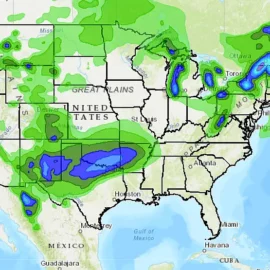
Midwest: Frequent snowstorms due to active storm tracks and persistent cold.
Southwest & Southern Plains: Drier and warmer than average conditions.
Northeast: A mix of rain and snow events early in December, transitioning to colder conditions by mid-month.
Europe
Northern Europe (Scandinavia):
Dominated by cold Arctic air, with blizzards expected in Sweden and Finland. Coastal regions will experience heavy snowfall.
Western Europe:
The United Kingdom and France will see a mix of wet and cold conditions, with higher chances of snow inland.
Eastern and Central Europe:
Polar air intrusions will lead to below-average temperatures, with snow accumulations in Poland, Germany, and Ukraine.
Southern Europe:
Warmer Mediterranean air will limit snow events in coastal regions, though inland areas (e.g., the Alps, Balkans) will see significant snowfall.
Siberia:
Intensely cold conditions with temperatures plummeting to -30°C in some areas.
East Asia:
Northern China, Korea, and Japan are likely to experience heavy snowfall due to cold air masses from Siberia.
Temperature and Precipitation Anomalies
North America:
Cold Spot: Central Canada and the Midwest U.S.
Warm Spot: Southern Plains and southeastern U.S.
Europe:
Cold Spot: Eastern Europe and the Alps.
Warm Spot: Mediterranean coastlines.
Asia:
Persistent cold over Siberia, with milder conditions in Southeast Asia.
Winter Storm Patterns
Frequent Snowstorms: Expect multiple snowstorm systems across the Midwest and Northeast U.S., as well as Central Europe.
Blizzard Risks: Scandinavia and the northern Great Plains of North America will face the highest risk of blizzards.
Ice Storms: Likely in parts of the southern U.S. and Eastern Europe, where warm and cold air masses collide.
Founder and chief forecaster of the Pogodnik service. He has many years of experience in the meteorological service. He is the author of numerous scientific publications and popular articles about the weather.


