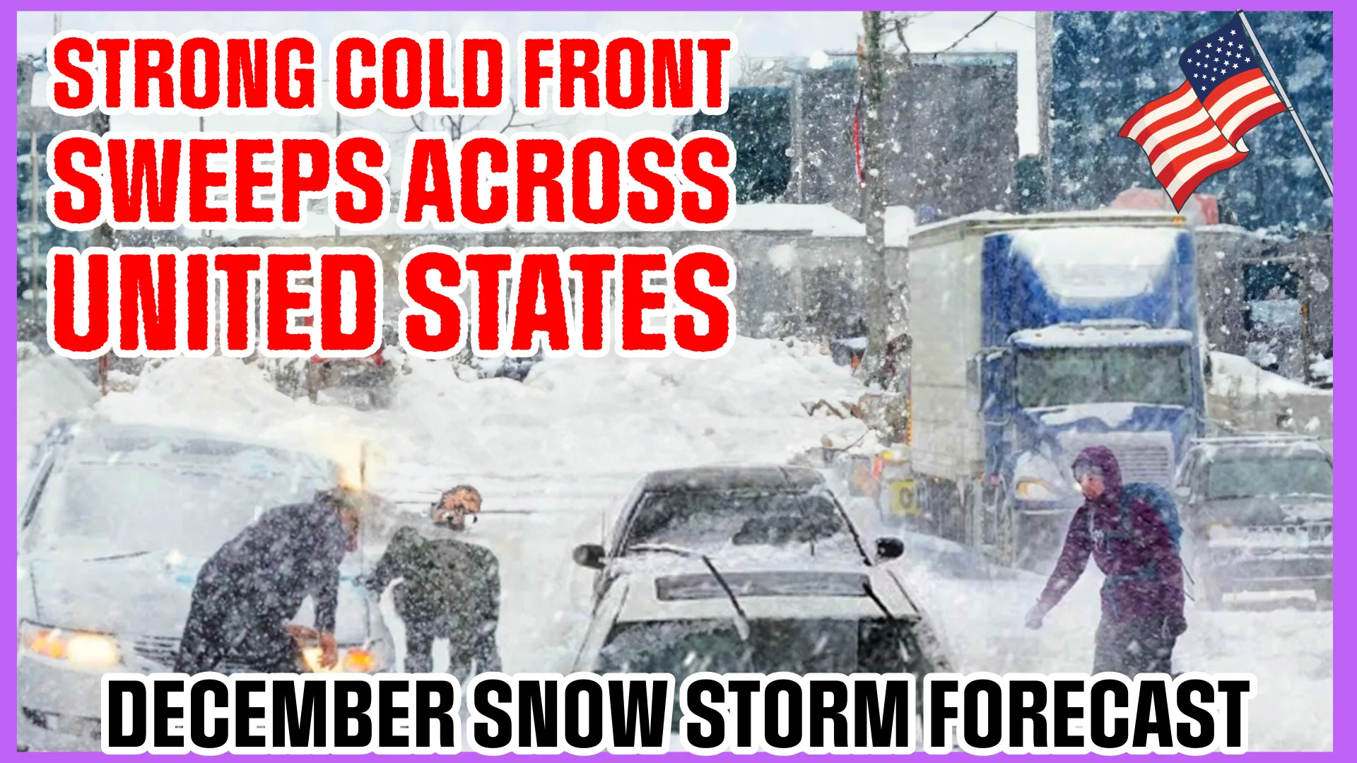
Arctic Blast: Powerful Cold Front Sweeps Across the United States.
A robust cold front is currently sweeping across the United States, affecting regions such as the Midwest, Great Lakes, and lower Mississippi Valley. This weather system is bringing a mix of conditions, including showers, thunderstorms, gusty winds, and snowfall in areas like the Cascades, Rockies, northern Plains, and Upper Midwest.
AccuWeather senior meteorologist Alex Sosnowski highlighted the impactful nature of this storm, stating, "From gusty winds to dangerous thunderstorms and even snow, a massive storm will affect 180 million people in the eastern half of the United States this weekend."
As the cold front progresses, it is set to reach the East Coast by Sunday, December 10, 2023, with the forecast indicating the potential for severe thunderstorms in areas extending from east Texas to the lower Mississippi River Valley. The threat includes the possibility of tornadoes, damaging winds, and large hail, particularly in the region from east Texas to the Tennessee Valley on Saturday afternoon and evening.
The upper-level pattern is drawing moisture from the Gulf of Mexico, impacting the Lower Mississippi Valley from Friday night onwards. The Midwest is expected to experience an expansion of showers and thunderstorms on Saturday. Additionally, a Slight Risk of Severe Thunderstorms is predicted.
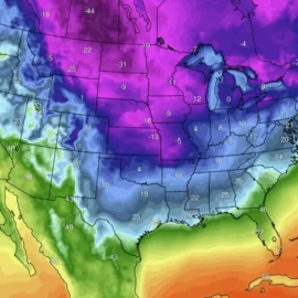
While warmer-than-average temperatures are anticipated across the Plains and Midwest today and Saturday, the weather system is set to move towards the East Coast on Sunday. In contrast, the West Coast will experience below-average temperatures due to high pressure affecting the Intermountain West and Rockies throughout the weekend. Stay tuned for further updates as this significant weather event unfolds.
Founder and chief forecaster of the Pogodnik service. He has many years of experience in the meteorological service. He is the author of numerous scientific publications and popular articles about the weather.


