Tropical Cyclones Trami and Kong-ray: will hit Japan and Vietnam
The attention of the world meteorological service is focused on two powerful tropical cyclones - Trami and Kong-ray, which in the coming days can have a significant impact on Asian countries. According to today's data, Typhoon Trami is rapidly moving towards the coast of Vietnam, while Typhoon Kong-ray threatens the southern part of Japan. Forecasts show that the elements will bring heavy rains and strong winds with a threat to the residents and infrastructure of these countries.
Typhoon Trami: Forecast for Vietnam
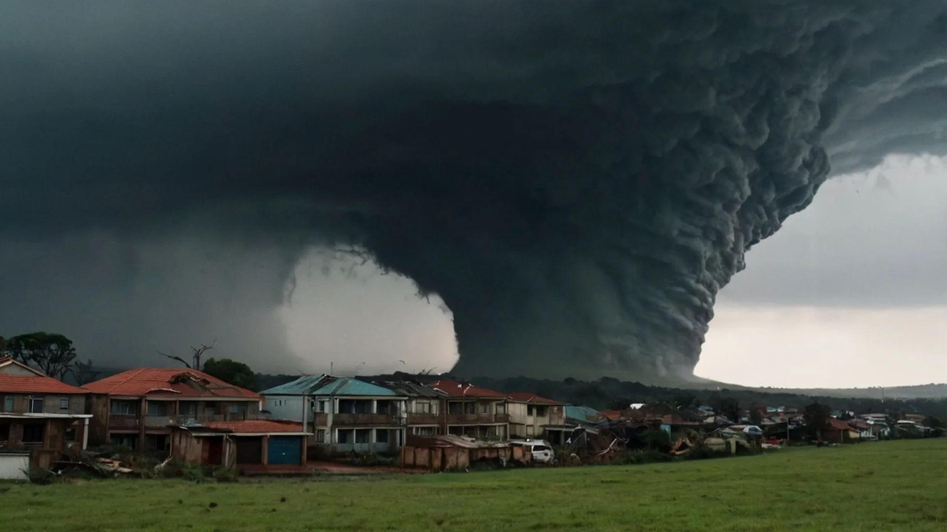
Cyclone Trami, which has already proven itself to be a powerful tropical storm, is heading towards Vietnam. According to the latest data from Ventusky and forecasts for the next 7 days, the typhoon is expected to approach the coast of the country with strong gusts of wind exceeding 150 km / h. Such conditions threaten coastal flooding and destruction of infrastructure.
Main risks:
Heavy rains: Forecasters warn of significant rainfall that can cause flooding and landslides.
Gale winds: Destructive gusts are expected that can tear out trees and damage buildings.
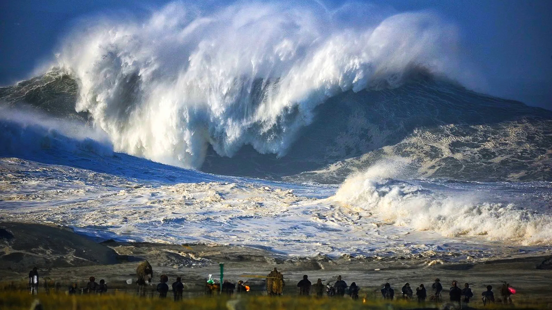
Waves and storm surge: Waves can reach 6-8 meters in height, which increases the risk of flooding of coastal areas.
The Vietnamese authorities have already begun preparatory measures, including evacuating the population from high-risk areas and strengthening protective structures. Rescue services have been put on high alert.
Typhoon Kong-ray: Expectations for Japan
Typhoon Kong-ray is developing in parallel with Trami and is moving towards Japan, threatening the southern islands of the archipelago, including Okinawa. According to the latest estimates, Kong-ray will strengthen to super typhoon stage within the next 24 hours and could cause serious damage to the Japanese islands.
Key forecasts:
Strong winds: Gusts can exceed 180 km/h, making Kong-ray one of the most powerful typhoons of the season.
Heavy rainfall: Rain accompanying the cyclone can cause flooding and impede transportation.
High waves and storm surges: Japanese authorities should also expect a strong surge of water, which will increase the risk of flooding in coastal areas.
At the moment, Japan's meteorological services have called on citizens to take precautions and prepare for possible evacuations. Flights and sea traffic in the south of the country may be temporarily suspended depending on the typhoon's trajectory and strength.
7-day forecast: How to track the typhoons
The situation around both typhoons is evolving dynamically. For the most up-to-date data, meteorologists recommend using services such as Ventusky and Windy, which provide detailed wind and precipitation forecast maps based on data from weather satellites and global weather forecast models. According to data for the coming days, the typhoons will remain active and pose a danger to the population of Vietnam and Japan.
Tropical cyclones Trami and Kongrei are a serious threat that requires the population and emergency services to exercise increased caution.
Chief forecaster and ideologist of the weather forecast service Pogodnik. Co-author of scientific articles and specialized content for various online media.


