Weather in April 2025: Is the Polar Vortex About to Turn Spring Into a Deep Freeze Across America?

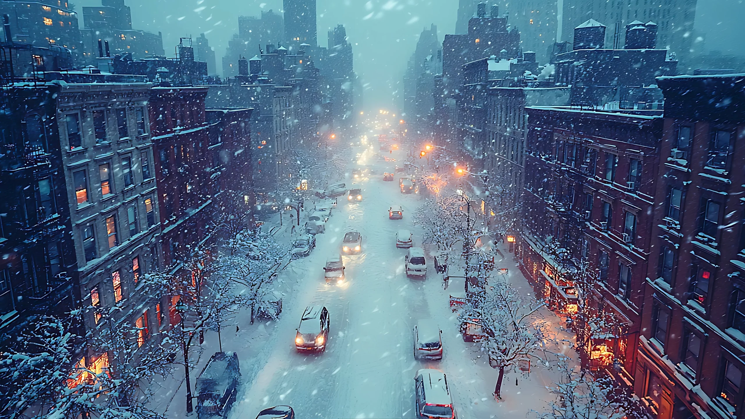
Spring in America typically conjures images of blooming cherry blossoms, warming sunshine, and the gentle hum of lawnmowers firing up after a long winter. But if the latest forecasts hold true, April 2025 could feel more like a sequel to February—complete with arctic chills, late snowfalls, and a polar vortex that refuses to clock out. As a meteorologist with years of chasing weather patterns across the continent, I can tell you this: the stratosphere is cooking up something wild, and it's headed straight for the United States.
Let's dive into the science. According to NOAA, the stratospheric polar vortex—a massive ring of frigid air and fierce winds circling the Arctic—is showing signs of disruption as we roll into spring. Normally, this beast weakens as the days lengthen and solar radiation ramps up, allowing warmer air to dominate. But in April 2025, forecasters are eyeing a scenario where this vortex stumbles, splitting or elongating in ways that shove cold air southward into North America. Think of it like a leaky faucet: when the vortex falters, icy air drips—or sometimes pours—into places it doesn't belong.
What does this mean for the U.S.?
US Winter Storm Omarihttps://t.co/2jr7TyeXG6#winterstorm #StormOmari #polarvortex #WeatherUpdate #weatheralert #WeatherReport pic.twitter.com/OjDo33e31h
— City Weather (@ukcityweather) April 1, 2025
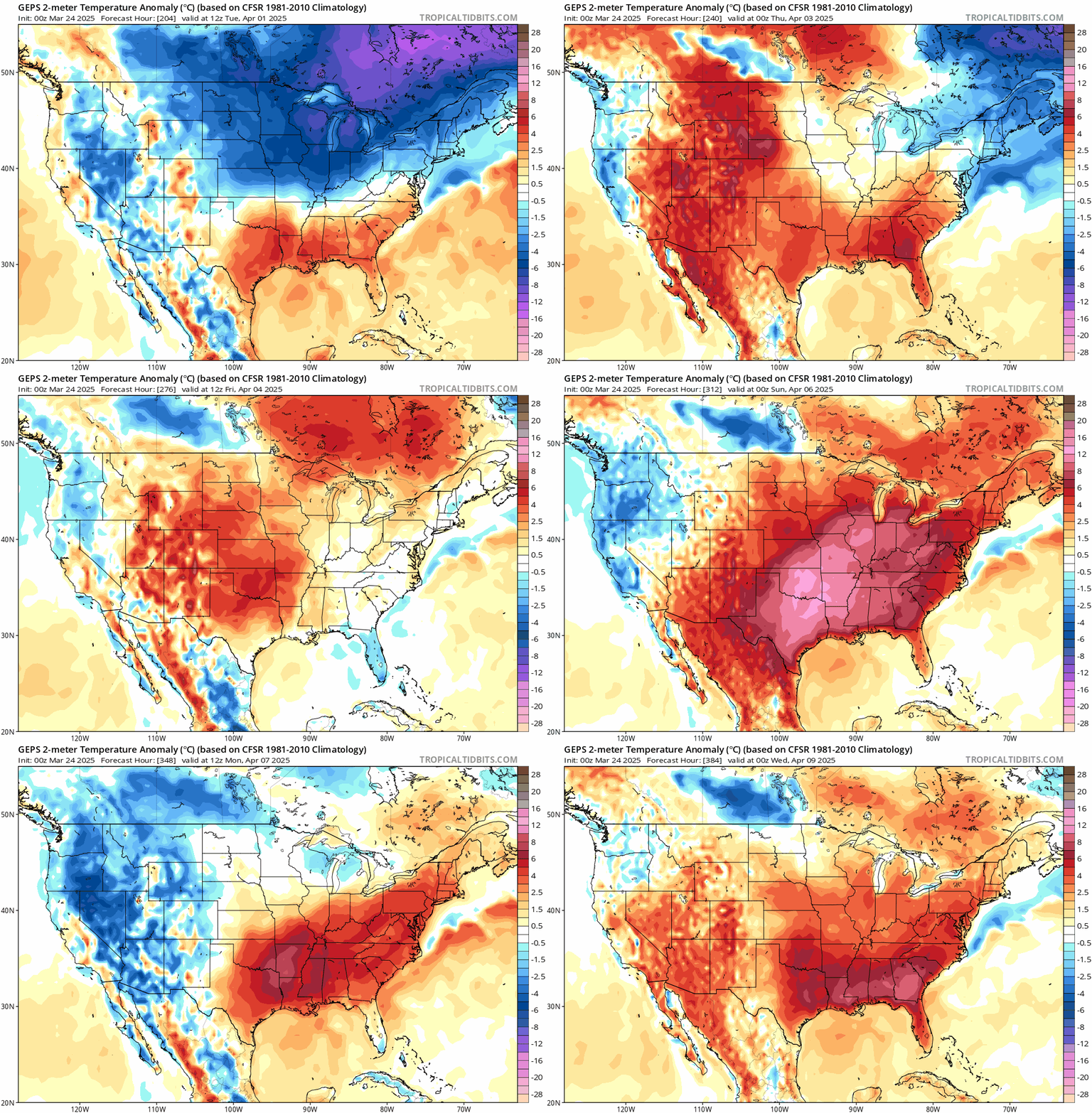
The eastern half of the country, from the Midwest to the Northeast, could be in the crosshairs of this arctic invasion. Temperature anomalies might dip 5-10°F below average, a significant departure for a month when folks are usually dusting off their patio furniture. Imagine Boston or Chicago waking up to frost—or even a rogue snow shower—while farmers in the Ohio Valley nervously eye their budding crops. The jet stream, that high-altitude river of wind steering our weather, is expected to buckle under the vortex's influence, carving out a trough over the East that locks in the cold. Storms could intensify, too, as warm Gulf moisture clashes with this chilly intruder, potentially sparking heavy rain or late-season snow.
Meanwhile, the West might catch a break. Forecast models suggest the Pacific Coast and Rocky Mountain states could see milder, near-normal conditions, thanks to a ridge of high pressure shunting the worst of the cold eastward. Cities like Seattle and Denver might dodge the freeze, but don't get too comfy—wild swings in the jet stream could still whip up gusty winds or erratic precipitation.
A prolonged cold snap in April carries real-world stakes. Agriculture takes a hit when frost lingers too long—think delayed planting or damaged early blooms in states like Pennsylvania or North Carolina. Energy demand could spike as heating systems work overtime, straining grids already stretched thin by winter's leftovers. And let's not forget transportation: icy roads or snow-dusted highways in April? That's a logistical nightmare no one's prepared for.
The polar vortex's antics aren't new, of course. We've seen it flex its muscles before—think back to the brutal cold waves of 2014 or 2019. But what's raising eyebrows this time is the timing. A disrupted vortex in early spring isn't unheard of, but its potential strength and staying power in April 2025 could set records. Climate change adds another layer of intrigue: while warming trends generally weaken the vortex over time, short-term chaos in the stratosphere can still trigger these cold blasts, a reminder that global warming doesn't mean the end of winter weather.
Zooming out, Canada's likely to feel the chill too, especially in Ontario and the Prairie provinces, where the vortex's reach could mirror the U.S. pattern. Across the Atlantic, Europe might catch the flip side—milder air flooding in as the cold gets siphoned our way. Weather's a global domino game, and North America's drawing the short straw this round.
Winter Storm Omari

Now, let's shift gears to the immediate horizon. If April's forecast sounds dramatic, buckle up for the first week of March 2025—because Winter Storm Omari is about to steal the show. From March 1-6, a “bomb cyclone” will barrel into the Midwest, dropping heavy snow and unleashing severe weather. Picture 6-12 inches of snow blanketing Chicago, Minneapolis, and Kansas City, with winds howling at 50+ mph. South of the storm's core, expect thunderstorms and possibly tornadoes as warm air surges north. It's a chaotic kickoff to the month—and a preview of the wild weather swings we might see in April.
Back to April:
Will this polar vortex disruption lock in for the whole month? Models aren't crystal balls, but the signals point to at least a couple weeks of below-normal temps in the East, tapering off as May nears. Still, the jet stream's mood swings could keep things unpredictable—sunny and 60°F one day, flurries the next. My advice? Keep the winter coat handy and don't plant those tomatoes just yet.
The polar vortex is flexing, the jet stream's dancing, and America's weather map could look more like a thriller than a rom-com.
Founder and chief forecaster of the Pogodnik service. He has many years of experience in the meteorological service. He is the author of numerous scientific publications and popular articles about the weather.


