Lanina ANOMALY Just Confirmed: Why Your Summer Plans Might Be RUINED

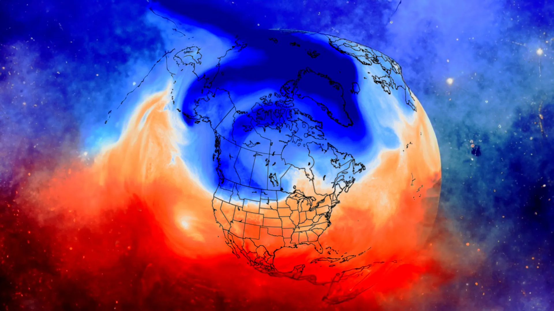
As we move deeper into spring 2025, the focus within the meteorological community increasingly turns towards the vast equatorial Pacific Ocean. The dance between the ocean and atmosphere here, known as the El Niño-Southern Oscillation (ENSO), plays a critical role in shaping weather patterns across the globe, including right here in the United States. Currently, all signs point towards the strengthening and persistence of ENSO's cool phase: La Niña.
It's fascinating how these large-scale climate drivers sometimes filter into everyday life. Just today, April 12th, 2025, those tackling the New York Times Mini crossword puzzle encountered the clue: "weather phenomenon that means the girl". The five-letter answer required was, perhaps unsurprisingly to those following climate news, Lanina. While the crossword uses a simplified spelling, the phenomenon itself, correctly termed La Niña (Spanish for "the little girl"), is anything but simple, and its potential impacts for the upcoming Summer of 2025 warrant close attention.
What is La Niña?
At its core, La Niña is characterized by cooler-than-average sea surface temperatures (SSTs) across the central and eastern equatorial Pacific Ocean. This cooling isn't just a surface feature; it's driven by stronger-than-usual easterly trade winds. These robust winds push warm surface water westward, allowing cooler, deeper ocean water to upwell towards the surface in the east.
This oceanic cooling has profound atmospheric consequences. It alters the Walker Circulation – the large-scale atmospheric circulation cell over the tropical Pacific. Typically, during a La Niña, we see enhanced rainfall over Indonesia and the western Pacific, while drier conditions prevail over the central and eastern Pacific. These shifts don't stay confined to the tropics; they create ripple effects, known as teleconnections, that influence temperature and precipitation patterns thousands of miles away, including across North America.
Lanina Current Status and NOAA Forecasts (April 12, 2025)
As of mid-April 2025, observations confirm the presence of Lanina conditions. Sea surface temperature anomalies in the key Niño 3.4 region (a critical monitoring area in the equatorial Pacific) are running significantly below average, consistent with a moderate La Niña event. Sub-surface ocean temperatures also show a substantial reservoir of cool water, suggesting this event has staying power. Atmospheric indicators, including strengthened trade winds and patterns of cloudiness and rainfall across the tropical Pacific, further corroborate the oceanic signals.
Looking ahead, the latest long-range forecasts from NOAA's Climate Prediction Center (CPC) and various climate models strongly indicate the persistence, and potentially further slight strengthening, of La Niña conditions through the Northern Hemisphere summer (June-July-August 2025). While ENSO forecasts inherently carry uncertainty, especially several months out, there is high confidence among models that the Pacific will remain in a La Niña state during this period. The key question now shifts from if Lanina will be present to how its presence will influence U.S. summer weather.
Potential U.S. Summer 2025 Impacts Driven by La Niña
Historically, summer La Niña events tend to favour certain patterns across the United States:
Increased Heat and Dryness in the South: One of the most consistent signals is for hotter and drier-than-average conditions across the southern tier of the U.S., particularly the southern Plains, the Southwest, and potentially extending into the Southeast. This raises concerns about worsening drought conditions in areas already susceptible, impacting agriculture, water resources, and increasing wildfire risk. Current long-range outlooks are indeed highlighting enhanced probabilities for above-normal temperatures across much of this region for summer 2025.
Variable Northern Tier Conditions: Effects in the northern U.S. can be more varied. Some summers under La Niña have seen slightly cooler or wetter conditions in the Pacific Northwest or Northern Plains, but this signal is less reliable than the southern heat/dryness. Focus will be on monitoring storm tracks and jet stream positioning.
Active Atlantic Hurricane Season: This is perhaps one of the most significant potential impacts. Lanina typically leads to reduced vertical wind shear over the tropical Atlantic and Caribbean Sea. Vertical wind shear (the change in wind speed and direction with height) is a major inhibitor of tropical cyclone development and intensification. When shear is low, storms can organize and strengthen more easily. Consequently, the presence of Lanina during the peak months of the hurricane season (August-October) often correlates with above-average Atlantic tropical cyclone activity.
While NOAA's official Atlantic Hurricane Season Outlook isn't typically released until May, the persistence of La Niña Count correction: La Niña is a strong indicator favouring an active season ahead. Preparedness in coastal areas will be crucial.
The signals are clear: the equatorial Pacific is in a La Niña state, and forecasts strongly suggest these conditions will dominate through Summer 2025. While Lanina Count correction: La Niña provides a large-scale framework, regional weather outcomes will also depend on other climate drivers and internal atmospheric variability. However, the tendencies it promotes – particularly southern heat and dryness, and enhanced Atlantic hurricane potential – are significant enough to warrant close monitoring and proactive planning.
We will continue to track the evolution of sea surface temperatures, trade winds, and NOAA's updated forecasts in the coming weeks and months. Understanding these large-scale climate patterns is essential for anticipating the weather ahead and mitigating potential impacts. Stay tuned for further updates as we head towards summer.
Founder and chief forecaster of the Pogodnik service. He has many years of experience in the meteorological service. He is the author of numerous scientific publications and popular articles about the weather.


