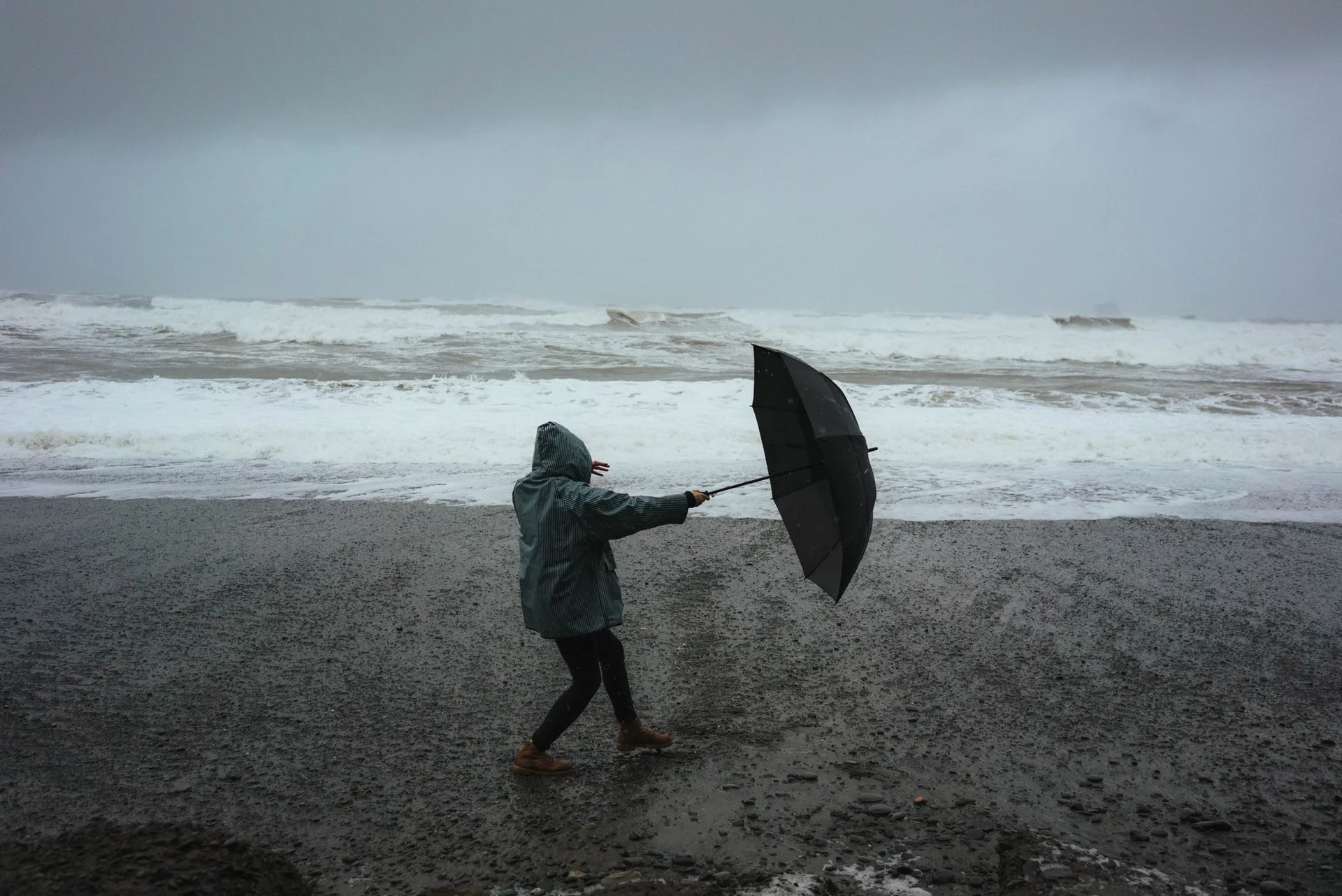
The UK Met Office has officially named Storm Eowyn (pronounced ay-oh-win) as the fifth storm of the 2024/25 European storm season. Forecasted to rapidly intensify, the storm is expected to bring hurricane-force winds, heavy rainfall, and snow to parts of Ireland and the UK starting Thursday, January 23, and continuing into the weekend. Authorities have issued warnings for severe disruptions, urging residents to prepare for what is being called a "weather bomb."
Ireland: Landfall is expected on Thursday night, with coastal regions bracing for gusts of up to 130 km/h (80 mph). Inland areas may see winds of 100 km/h (60 mph), accompanied by heavy rain and localized flooding.
UK: The storm will move into the UK on Friday, January 24, with the strongest winds hitting Northern Ireland, northern England, northwestern Wales, and western Scotland. Exposed areas could experience gusts exceeding 130 km/h (80 mph).
Transitory snow and sleet are likely, particularly in Northern Ireland, northern England, and Scotland, as the storm's leading edge interacts with colder air.
Snow accumulation is expected on higher ground, especially in the Scottish Highlands, where travel conditions may become hazardous.
Heavy rain will accompany the storm, with 20–30 mm (0.8–1.2 inches) expected in parts of western Scotland, England, and Wales. This could lead to localized flooding in vulnerable areas.
Warnings and Preparations
Met Éireann and UK Met Office Alerts
Met Éireann has warned of gale-force winds, high seas, and heavy rainfall across Ireland, particularly in western and northwestern counties.
The UK Met Office has advised residents to secure outdoor items, such as garden furniture and bins, to prevent property damage or injury.
Check road conditions before driving, especially in coastal and exposed areas.
Be prepared for debris, fallen branches, and reduced visibility due to heavy rain.
Avoid non-essential travel in high-risk areas.
RAC Breakdown spokesperson Alice Simpson urged drivers to exercise caution, particularly in western England, Scotland, and Northern Ireland.
Drivers should be mindful of sudden gusts, especially when overtaking larger vehicles on motorways. High-sided vehicles are particularly vulnerable.
Reduce speeds and maintain a firm grip on the wheel in areas with strong winds and poor visibility.
Storm Eowyn's intensity is driven by a powerful jet stream, which is rapidly deepening the low-pressure system as it moves across the Atlantic. This comes after a recent cold spell in North America, contributing to the storm's strength.
“The combination of gale-force winds, heavy rain, and snow will make for a very unsettled and potentially dangerous end to the week,” said Met Office Deputy Chief Meteorologist Mike Silverstone.
Authorities are monitoring the storm closely, and further updates are expected as the system develops. Residents are advised to stay informed through Met Éireann, the UK Met Office, and local news channels.
“Storm Éowyn will bring a period of very unsettled, potentially disruptive weather to the UK through Friday and into Saturday,” said Silverstone. “The initial warning for Storm Éowyn has been issued well in advance, so it's important to stay updated on the forecast as further details emerge.”
Stay safe, and ensure you're prepared for Storm Eowyn's arrival. Keep checking weather updates and heed advice from local authorities.