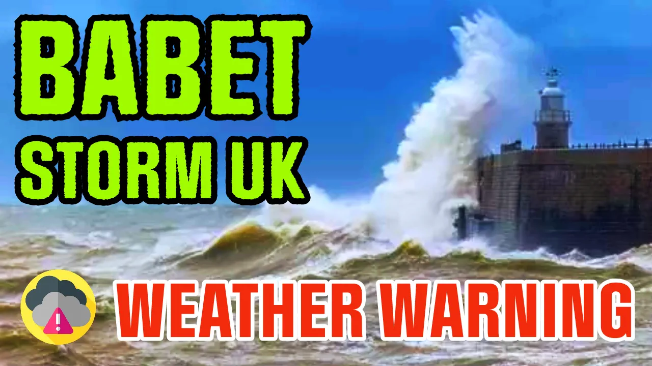
UK Braces for Storm Babet: Satellite Images Reveal Its Path of Destruction
New satellite images have unveiled the trajectory of Storm Babet, which is heading straight towards the UK. The storm, captured in the latest aerial photographs from NASA's Earth Observing System, is currently moving across Spain and Portugal. Its course is predicted to turn northward, directly towards the British Isles.
Heavy rainfall is expected to sweep into the western regions of the UK upon Babet's arrival on Tuesday evening, with the storm continuing its path across the country from Wednesday onward. The central and eastern parts of Scotland are anticipated to be the hardest hit as the storm appears to 'stall,' with the Met Office forecasting 'heavy and persistent' rain from Thursday through Saturday. A Severe Weather Warning has been issued for the region, with high ground expecting up to 150-200 mm of rainfall.
Additionally, rain warnings are in effect for Northern Ireland and the northern and central parts of England. Cities like Newcastle, Leeds, Sheffield, and Nottingham have been advised to prepare for "very wet weather" on Wednesday and Thursday.
The Met Office has issued an advisory notice, warning of the possibility of flooding in homes and businesses, causing damage to some structures, and disrupting transportation networks. A yellow wind warning also encompasses the northern half of Scotland, extending until midday on Friday.
Storm Babet, the second autumn storm, received its name from the Met Office on Monday morning. Deputy Chief Meteorologist Steven Keates stated that the storm would bring significant rain to various parts of the UK, with a particular focus on eastern Scotland, Northern Ireland, and northern England. With the ground already saturated, there's a heightened risk of flooding. Keates emphasized the importance of staying updated with warnings from local flood warning agencies and authorities.
The storm will also bring strong winds and large waves along certain eastern coastlines. Gusts exceeding 60mph are possible in eastern and northern Scotland from Thursday. The Met Office is expected to provide further updates on warnings as the week progresses. While sunny spells are forecast for many areas on Tuesday afternoon, unsettled conditions are on the horizon, albeit possibly hazy due to high cloud cover. Stay informed about the developing situation and take necessary precautions.