El Niño’s Return in 2023: How Will It Impact Your Summer Weather?
For many years, people have been mentioning El Niño, as the hidden reason behind floods, droughts and cold seasons, and even record-breaking global heat. But is such a climate phenomenon responsible for all these events?
Let’s find out what El Niño is, and how it is happening.
But during El Niño, which occurs on average once every three-to-five years, easterly trade winds are getting weaker and can even turn around into westerlies. As a result, warm water is pushed back east, toward the Americas. It also reduces the upwelling of cooler, nutrient-rich waters from the deep. Ocean currents along the equator and along the west coast of South and Central America are reversing or shutting down. The significant changing ocean conditions seriously affect weather patterns and marine fisheries. It leads to unexpected situations when usually dry regions of Peru, Chile, Mexico, and the southwestern United States are seeing a lot of rain and even snow. And on the other hand, long-term droughts occur across some wetter regions of the Brazilian Amazon and the northeastern United States. That's why El Niño was called a master weather-maker.
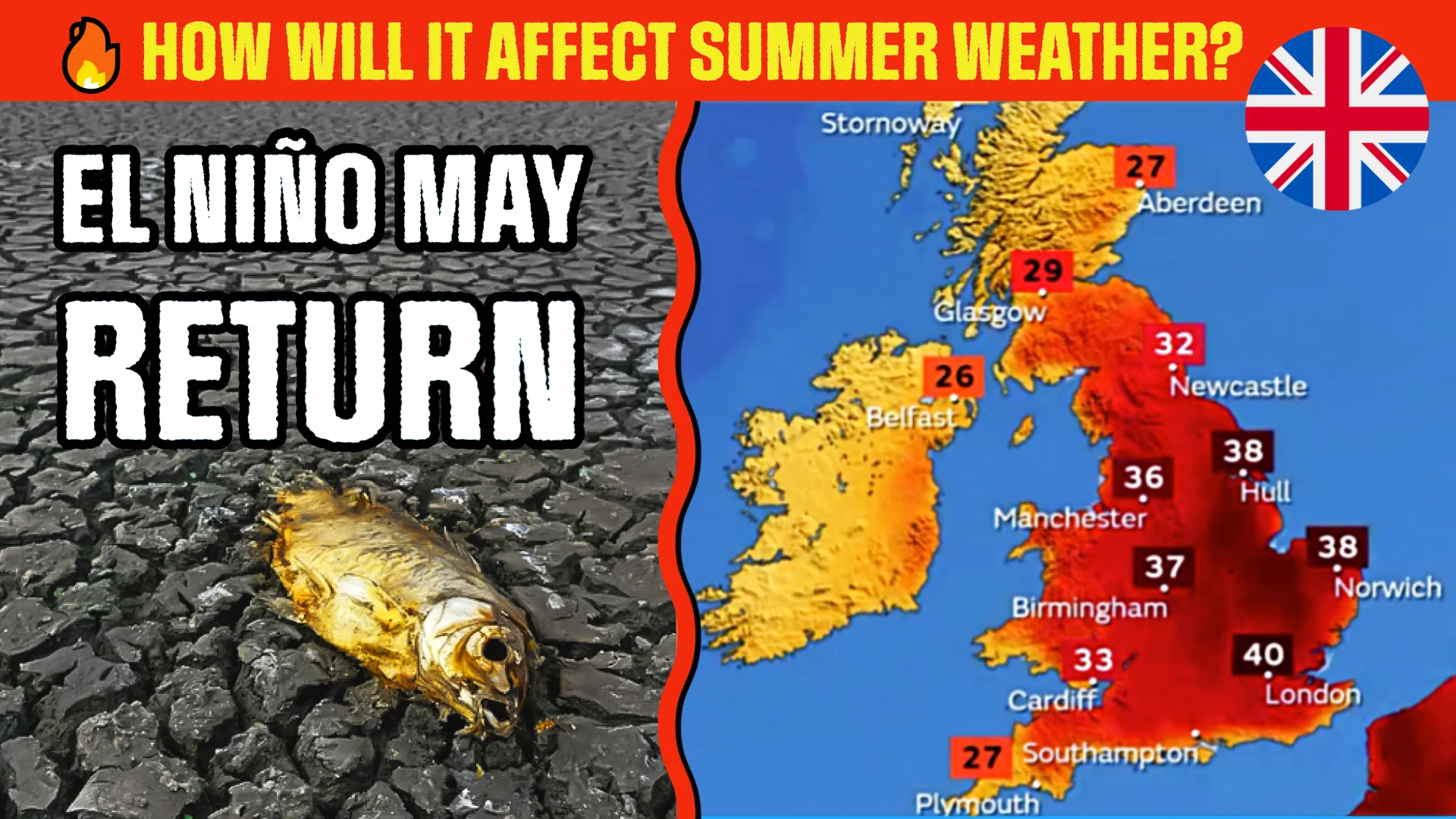
Being one of the most important weather-producing phenomena on Earth, El Niño is always associated with record-breaking temperatures at the global level. Based on the year-to-date and the latest El Niño forecasts, it could happen whether in 2023 or 2024. If El Niño does develop, the current year is threatening to become hotter than 2016. We could easily see 40 Celsius around the Globe this summer.
Scientists will continue to monitor the potential development of El Niño. At the moment, to avoid any problems, stay up to date with the forecasts. And do not forget to check the weather warnings. More videos are on the way, including daily forecasts. Make sure to subscribe to stay updated.