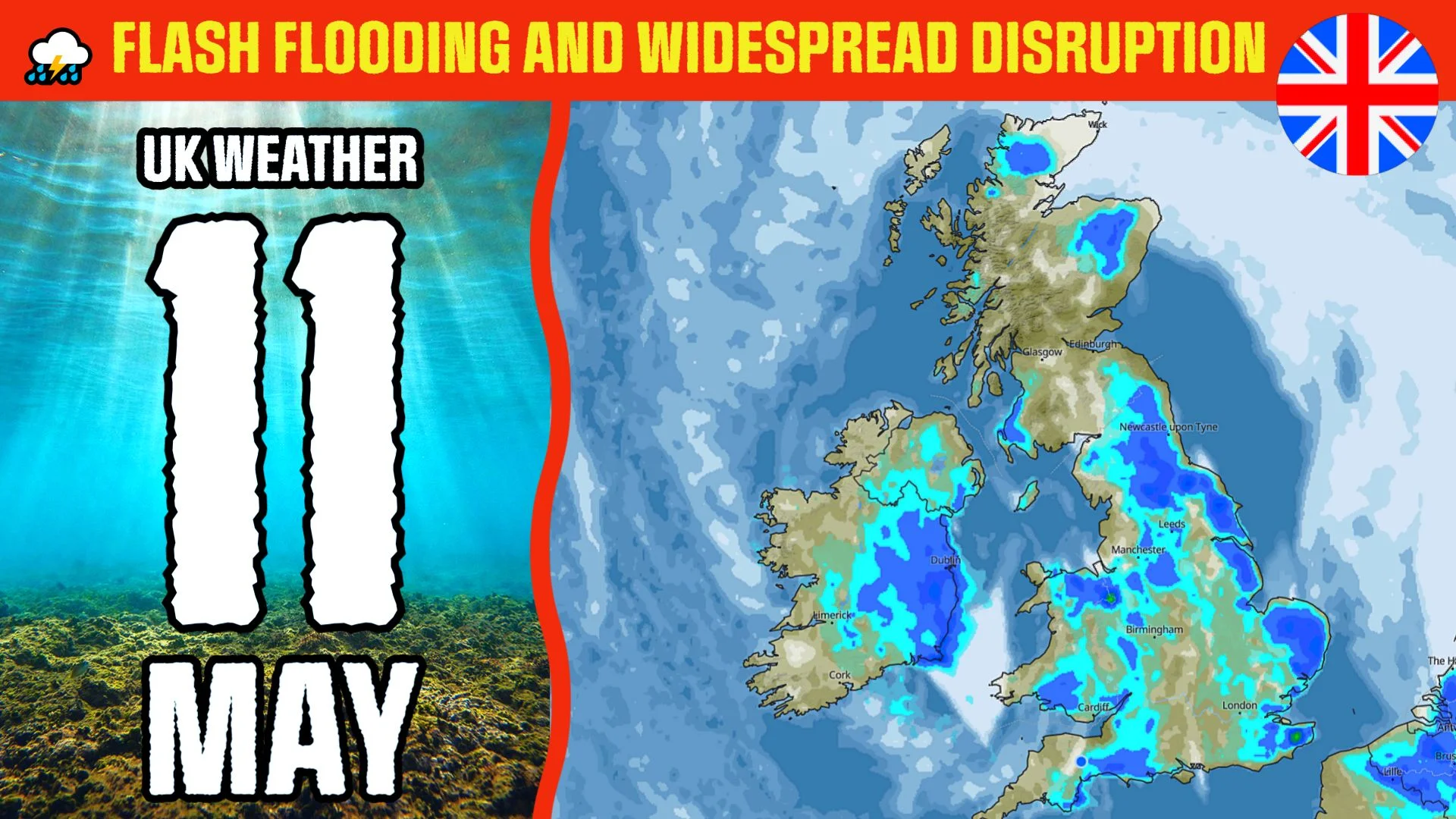
UK weather forecast for tomorrow, May 11: flash flooding and widespread disruption
Welcome to the UK weather channel. Heavy spring showers and thunderstorms have caused flash flooding and disruption, across parts of England. Since widespread showers are possible tomorrow, we are wondering, if the water continues to rise.
According to the current weather warnings, dangerous flooding is expected on Rivers Strat and Neet, River Cam, and others. Please always monitor local water levels and weather warnings.
So, let's check the latest weather update for Thursday, May 11.
Morning weather forecast.
Scotland's weather will be variable: clouds and some mistiness in Aberdeen, while much brighter in Glasgow and Edinburgh. It is going to be a rainy start to the day across Northern Ireland. Better take an umbrella, so you don't get caught in poor weather. Temperatures in Belfast, stay between 10 to 12 Celsius.
Light spring rain could also reach in the morning, some eastern and southern cities, particularly Norwich and Plymouth. Elsewhere, there will be largely clear skies.
Afternoon and evening weather forecast.
Short-term rain is possible across North East England, Northern Ireland, and East of England at noon. At the end of the afternoon, the rain will be trickling into parts of West Midlands, South East England, and South West England. The highest temperatures in Birmingham, Oxford, and Southampton are expected to be around 16 Celsius. It will finally get drier across all of the UK, in the evening.
And what about the London weather?
A mixture of spring sunshine and showers, during the whole Thursday. Despite the precipitation, the temperature should increase to 17 Celsius.
More videos are on the way, including weekend weather forecasts. Please subscribe to our weather channel in order to stay updated on the UK Weather forecast.