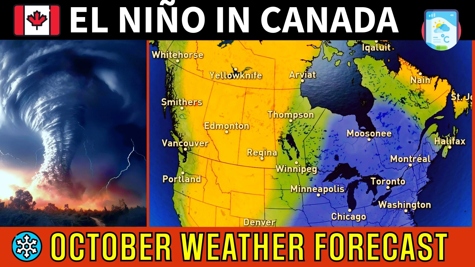
Breaking Weather News: October's Heatwave in Canada Defies El Niño Predictions.

A strong El Niño pattern has developed in the tropical Pacific Ocean with much warmer-than-normal ocean water temperatures extending west of South America.
Why should we care about El Niño? Well, ocean water temperatures in the Pacific Ocean (especially in the tropics) are usually one of the key drivers of weather patterns around the world, especially across North America.
So, what does El Niño typically mean for October across Canada?
When we look back in history at years with a developing strong El Niño, we find that October is typically rather cold across most of Canada.
As we look closely at how the atmosphere has been behaving around the world during the past few weeks, it is clear that El Niño is not yet the dominant influence on the jet stream pattern.
So, as we kick off the month of October, we will actually see warmer-than-normal weather across most of Canada east of the Rockies. In fact, many will experience weather more typical of summer with record-breaking, warm temperatures.
However, we won't have to wait long for a pattern change. Within a few days, much colder weather will plunge south across the Prairies and then spread east across Ontario and Quebec during the Thanksgiving long weekend.
The colder pattern will persist from the eastern Prairies to the Maritimes into the second week of October. Meanwhile, much warmer weather will return to Western Canada with the potential for more late-summer-like temperatures for a few days.
It is possible that this will become the dominant pattern for the rest of October, but at this point, we do not see any signs, just yet, that the atmosphere is ready to start acting like Niño is in charge.
Therefore, we expect that warmer-than-normal temperatures will become the dominant pattern once again across most of Canada for a while during mid-to-late October. Of course, we should keep in mind that 'normal' temperatures drop very quickly during October, so 'warmer-than-normal' weather will no longer feel like summer.
There are some indications that we will see another significant shot of colder weather across Eastern Canada during the final week of October, but confidence in the timing is low.
While we will see some shots of chilly weather during October, we expect that for the month as a whole, October will defy the typical El Niño pattern and end up being warmer-than-normal across most of Canada. The warmest temperature anomalies are expected across Western Canada.
Powerful fall storms are common during a typical October and no doubt this year will include a few high-impact storms, with a risk for very strong winds and excessive rain.
However, for Canada as a whole, we expect fewer storms than normal and most Canadians will see rain totals on the dry side of normal, including the South Coast of B.C., southern Ontario, and southern Quebec.