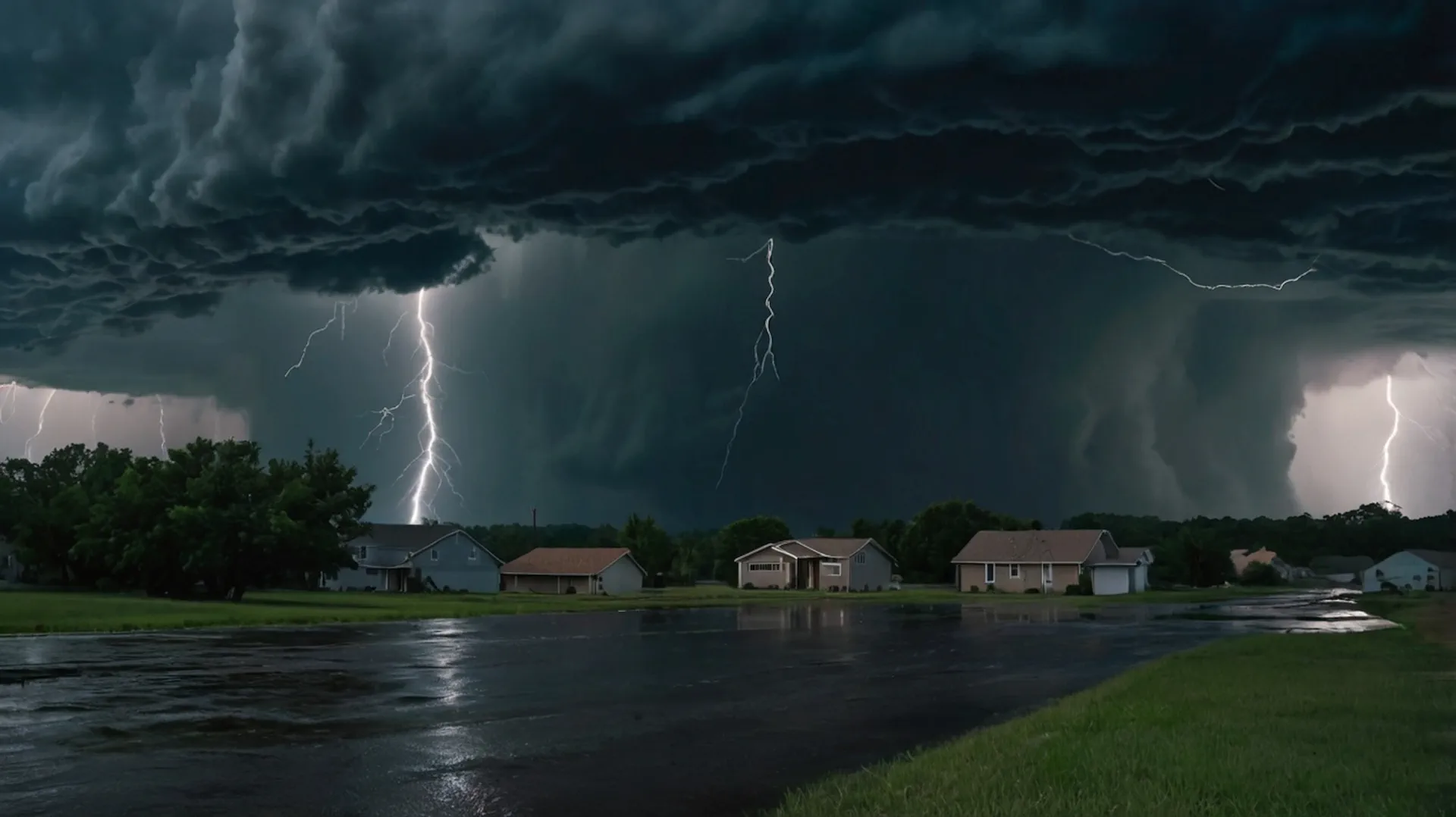
Francine's Lingering Legacy: Flooding Rain and Tornado Threats Across the South

The remnants of Hurricane Francine, though weakened, are set to linger over the southern United States, bringing with them several days of heavy rainfall and the potential for isolated tornadoes through the end of the week. While the storm's center has moved inland, its impact is far from over, with significant flooding a major concern for many areas.
Francine’s Journey: From Hurricane to Heavy Rains
Francine, which made landfall in Louisiana as a Category 2 hurricane on Wednesday, has transitioned into a post-tropical cyclone, but its remnants remain potent. The storm brought heavy rainfall and powerful wind gusts to the Gulf Coast, including wind gusts exceeding 100 mph on Eugene Island, Louisiana. The New Orleans metro area experienced significant flooding, with some areas receiving over 8 inches of rainfall.
Flooding Concerns: Days of Rain and Potential for Widespread Inundation
Francine's remnants, due to an atmospheric blocking pattern, will be stalled over the South, resulting in several days of heavy rain, potentially causing widespread flooding. The National Weather Service has issued flood watches for portions of northern Florida, the Tennessee Valley, and other areas in the Southeast.
Here’s a breakdown of the potential flooding timeline:
Friday-Friday Night: Tennessee and lower Ohio Valleys into portions of Alabama and Georgia.
Saturday-Saturday Night: Tennessee Valley into northern Alabama, Georgia, and upstate South Carolina.
Tornado Threat: A Continued Risk
While Francine has weakened, its remnants retain the capability to spawn isolated tornadoes. The primary threat area extends from middle Tennessee into Alabama, western Georgia, and the Florida Panhandle, particularly on Friday.
A Recap of Francine’s Impact
Francine's journey has been eventful, becoming the first Atlantic storm since Ernesto in August and the fourth hurricane of the 2024 season. It made landfall as a Category 2 hurricane, causing significant impacts along the Gulf Coast, including:
Coastal Flooding: Minor coastal flooding occurred along parts of the South Texas coast, with the main road to the Starbase Spaceport south of South Padre Island being submerged during high tide.
Heavy Rainfall: Areas around Brownsville, Texas, recorded up to 7.5 inches of rain, leading to street flooding.
Powerful Wind Gusts: Eugene Island, Louisiana, reported wind gusts reaching 102 mph, while Dulac, Louisiana, experienced gusts up to 96 mph. The peak wind gust at New Orleans International Airport was 78 mph.
Flash Flooding: Portions of the New Orleans metro area were placed under a flash flood emergency warning on Wednesday.
Preparation and Awareness
With the continued threat of flooding and tornadoes, it’s crucial to stay informed and prepared.
Francine's legacy, though not as a hurricane, continues to have a significant impact on the southern United States. As the storm lingers, it's important to remain vigilant and prepared for the continued risks of flooding and tornadoes.