Urgent Weather Alert for Eastern United States: Severe Storms Ahead!

Prepare for a significant weather event unfolding in the Eastern United States this weekend. A potent storm originating from the Gulf of Mexico is on the move, charting a course across Florida and advancing up the East Coast. Anticipate heavy to excessive rainfall, gusty winds, and the likelihood of moderate coastal flooding in large portions of the Southeast and Mid-Atlantic regions. Moreover, brace for snowfall over the Great Lakes and central Appalachians, expected to follow in the wake of this system on Monday.
A low-pressure system, currently positioned over Texas, is projected to track northeastward, reaching the Upper Great Lakes by Sunday, December 17, 2023.
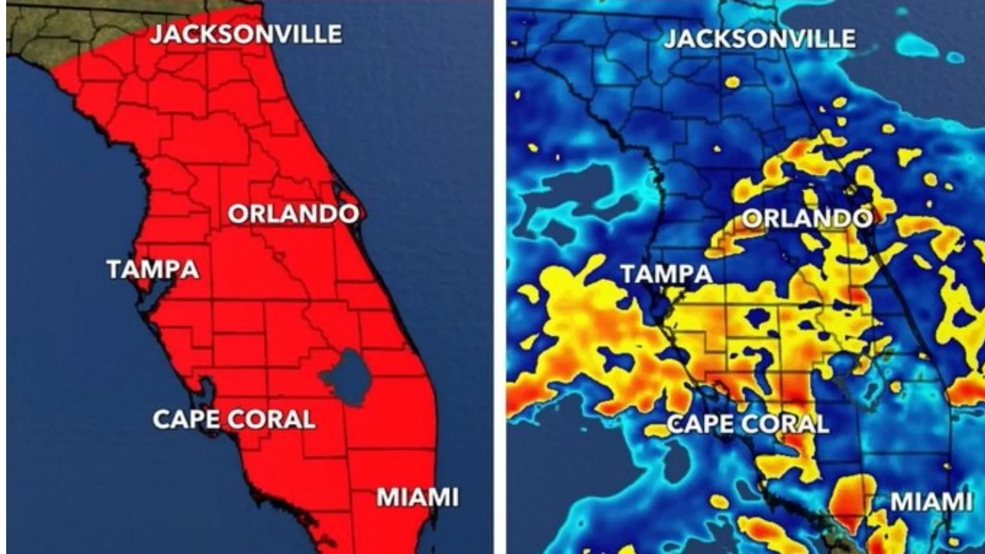
Moisture streaming from the Gulf of Mexico is set to converge over Florida from Saturday into Sunday, triggering showers and thunderstorms laden with heavy rainfall. Southern Georgia and Florida are particularly at risk for substantial downpours.
The intensity of the rain raises concerns about localized flash flooding, with urban areas, roads, and small streams being especially susceptible. Additionally, the anticipated intensity of the showers and thunderstorms heightens the risk of severe weather events.
Meteorologist Matthew Cappucci of The Washington Post notes that weather models show some disagreement about the precise track of the storm. Nevertheless, there's consensus that the storm, originating in the eastern Gulf of Mexico on Saturday, will be exceptionally robust.
Typically, a storm of this magnitude in December would result in heavy snowfall. However, the absence of significant cold air in the eastern United States means that this storm is expected to bring primarily rain. Flooding is a distinct concern, especially along Florida's Gulf Coast, where accumulations of more than 4 inches of rain are possible. Stay tuned for further updates and take necessary precautions to ensure your safety.